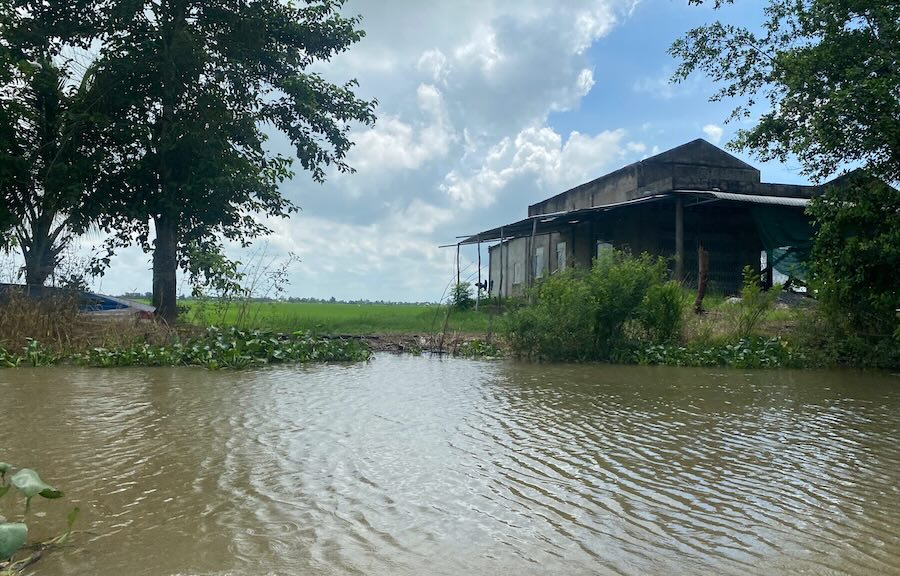
On October 20, according to the Department of Agriculture and Environment of Tay Ninh province, flood water levels in the communes of Dong Thap Muoi province are rising rapidly due to the impact of upstream floods, high tides and heavy rain on the spot. The intensity ranges from 0.01 - 0.03m/day and night, 0.04m to 0.49m higher than the same period in 2024.
According to measurements at hydrological stations on the morning of October 20, the water level in Tan Chau reached 3.69m, 0.88m higher than the same period; Tan Hung 2.90m, 0.40m higher; Vinh Hung 2.72m, 0.32m higher; Moc Hoa 1.88m, 0.22m higher; Hung Dien B 3.15m, 0.44m higher; Vinh Dai 2.55m, 0.49m higher; Kien Binh 1.45m, 0.14m higher and Tuyen Nhon 1.24m, 0.04m higher.
The forecast of the National Center for Hydro-Meteorological Forecasting said that from now until October 23, the water level in the Mekong River will continue to fluctuate with the tide and peak around October 23-24. The water level at the upstream stations of Tay Ninh is likely to reach or exceed alert level II, of which Hung Dien B station is expected to reach 3.40m; Tan Hung 3.00m; Moc Hoa 2.00m; Kien Binh 1.60m and Tuyen Nhon 1.55m.
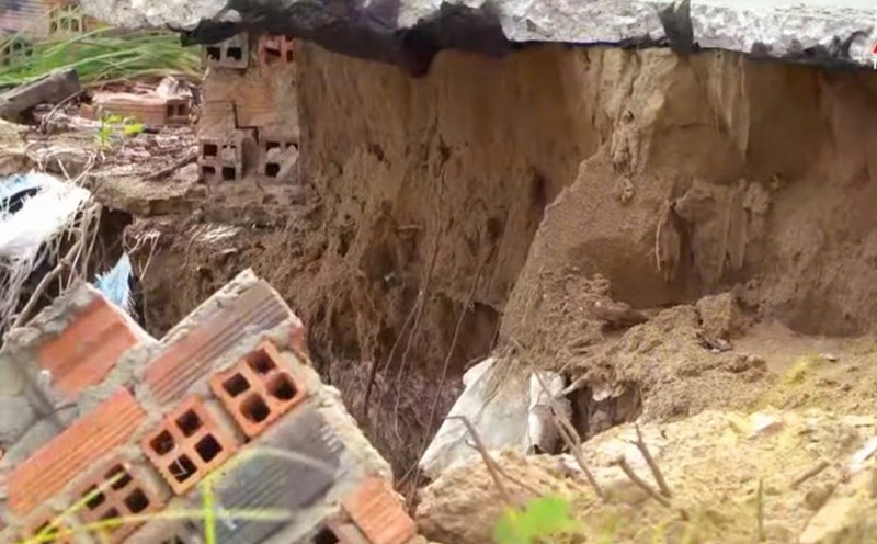
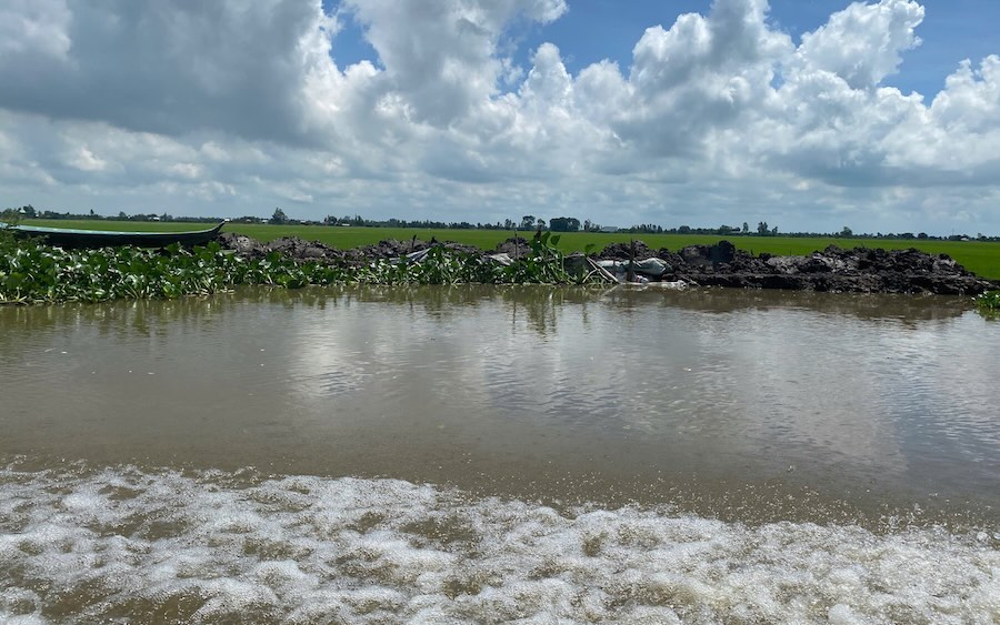
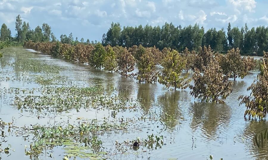
As of October 20, the entire Dong Thap Muoi area of Tay Ninh province has recorded damage to 44.5 hectares of rice, of which 22.5 hectares were completely lost; 22 hectares of fruit trees were flooded (19.5 hectares were lost) and 1.5 hectares of vegetables were completely damaged. The most serious impact was in Vinh Thanh commune, where the mangrove broke on October 10, flooding more than 37 hectares of rice and 17.5 hectares of fruit trees. Some other communes such as Vinh Chau, Vinh Hung, Moc Hoa also recorded flooding areas and local damage.
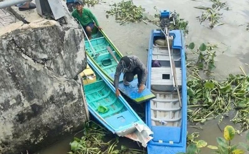
Faced with the continued rise in floodwaters, localities in the Dong Thap Muoi area have proactively implemented many response measures. The communes of Vinh Chau, Tuyen Binh, Binh Hiep, Hung Dien, Vinh Hung, Nhon Ninh have mobilized militia, mass organizations and people to reinforce and elevate hundreds of meters of weak embankments, protecting thousands of hectares of rice in the Autumn-Winter crop and crops. Many dykes have been embanked to prevent landslides, with corrugated iron being 0.5m to 1m higher than the current water level.
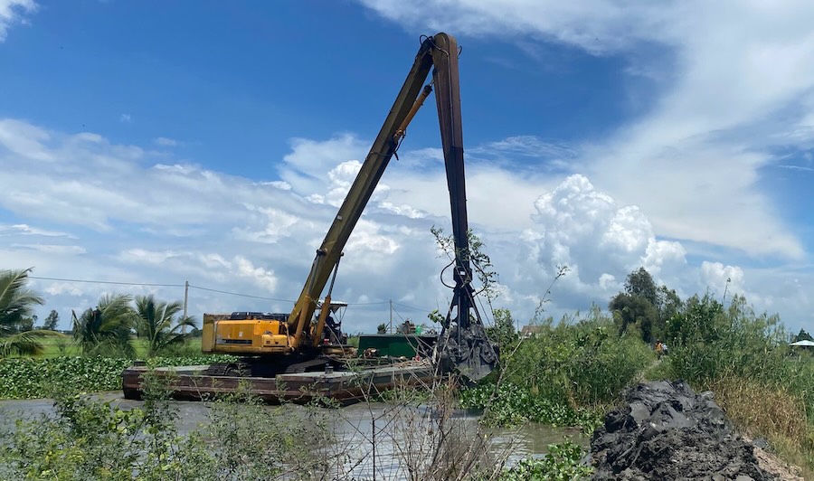
The Department of Agriculture and Environment has organized working groups to coordinate with local authorities to inspect, assess damage and guide response plans. At the same time, it is recommended that the People's Committees of communes review dykes and areas at risk of flooding, count affected households and prepare forces and materials on site to promptly handle situations when heavy rain or high tides appear.
The functional sector also increased information and propaganda on the flood situation in the fields, advised people to proactively protect production, ensure safety for people and property, and minimize damage during the upcoming flood peak days.