According to Short-term Water Resources Forecast Bulletin No. 44 dated February 13 of the National Center for Hydro-Meteorological Forecasting, the water level of the Red River (Thao River) in Phu Tho and Yen Bai continues to change slowly.
The actual water level measurement at Yen Bai Station shows that at 1pm on February 10, the water level was 25 m, at 1pm on February 11, it was 24.18 m, and at 1pm on February 12, it was 24.20 m. It is forecasted that at 7pm on February 13, the water level at Yen Bai Station will be 24.10 m.
At Phu Tho station, the actual water level measured at 1pm on February 10 was 11.41 m, at 1pm on February 11 it was 11.48 m, and at 1pm on February 12 it was 10.91 m. It is forecasted that by 7pm on February 13, the water level at Phu Tho station will be at 10.90 m.
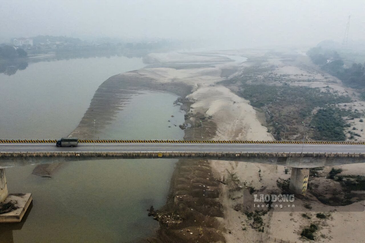
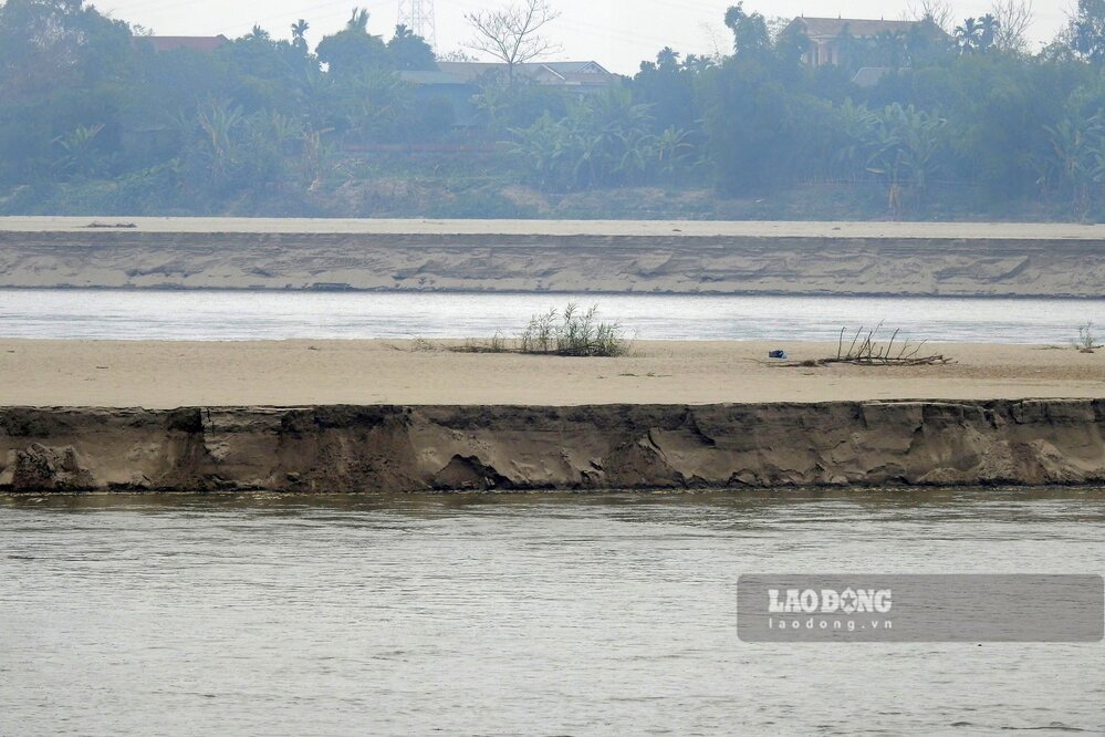
According to a reporter from Lao Dong Newspaper on February 13, on the Red River section passing through Phu Tho province, due to low water levels, in areas with wide riverbeds, many large sand dunes appeared, causing the flow to narrow.
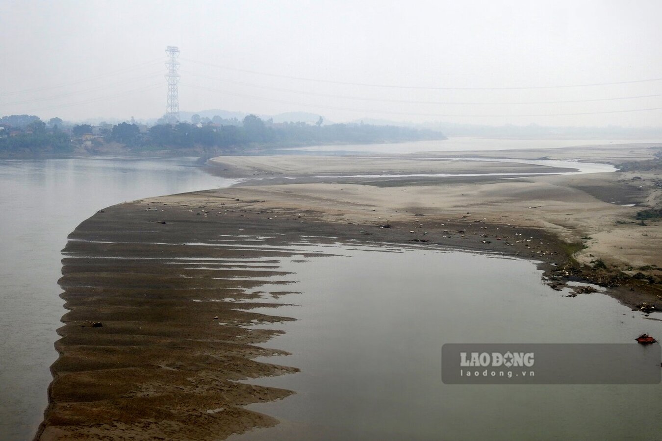
In particular, at the river section passing through Ha Thach commune, Phu Tho town and Hien Quan commune, Tam Nong district, from the Ngoc Thap bridge, one can see giant sand dunes appearing, "encroaching" almost the entire riverbed, at first glance it looks like one can walk across.
However, these sand dunes pose a high risk of subsidence and drowning if people set foot on them.
This is also the place where the disappearance and drowning incident took place, taking the lives of 5 8th grade students at Hien Quan Secondary School, Tam Nong District in mid-November 2024.
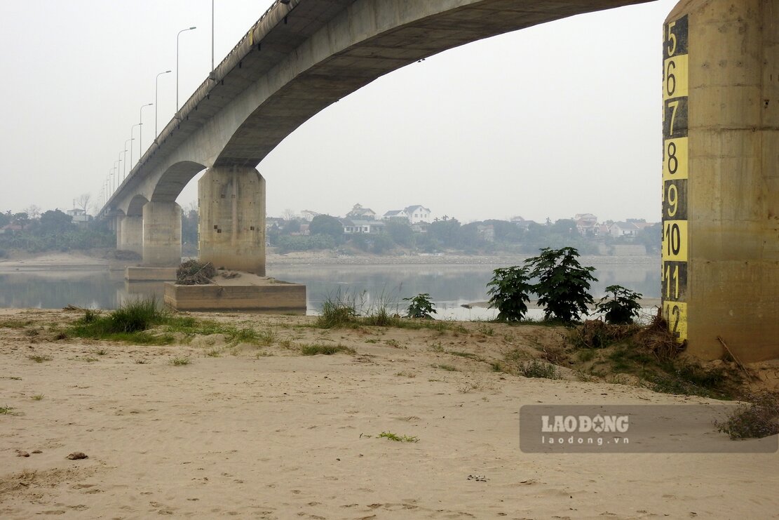
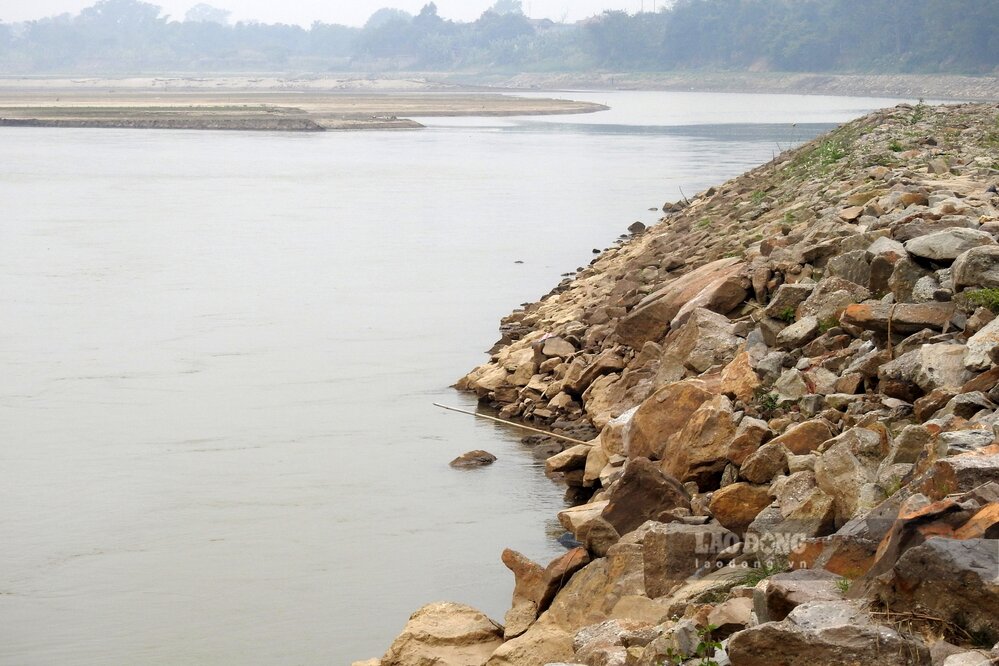
Not far away, at the river section passing through Au Co ward and Thanh Minh commune, Phu Tho town - where an emergency embankment worth about 100 billion VND was completed in early 2024, it can be seen that the river water has dried up to the foot of the embankment.

Previously, in mid-2023, this place suffered a serious landslide that swept away over 20 hectares of people's crop land, directly threatening the safety of 18 houses, over 300 households in Cao Bang area, Thanh Minh commune and 34 households in Le Dong area, Au Co ward were affected...
The cause is due to the rapid water flow, combined with the large alluvial land on the right bank encroaching on the middle of the river, causing the flow regime to change, the main stream approaches the left bank, the riverbed in the area is deeply eroded, causing serious landslides from Km61.4 to Km63 of Thao left dike, the total landslide length is about 2 km.
According to the monthly Water Resources Forecast Bulletin (from February 1 to 28, 2025) of the National Center for Hydro-Meteorological Forecasting, on the Red River, the flow in Yen Bai decreased compared to the previous month; the total flow was 45% lower than the average of the same period. The total flow of the river is forecast to be 51% lower than the average of the same period.