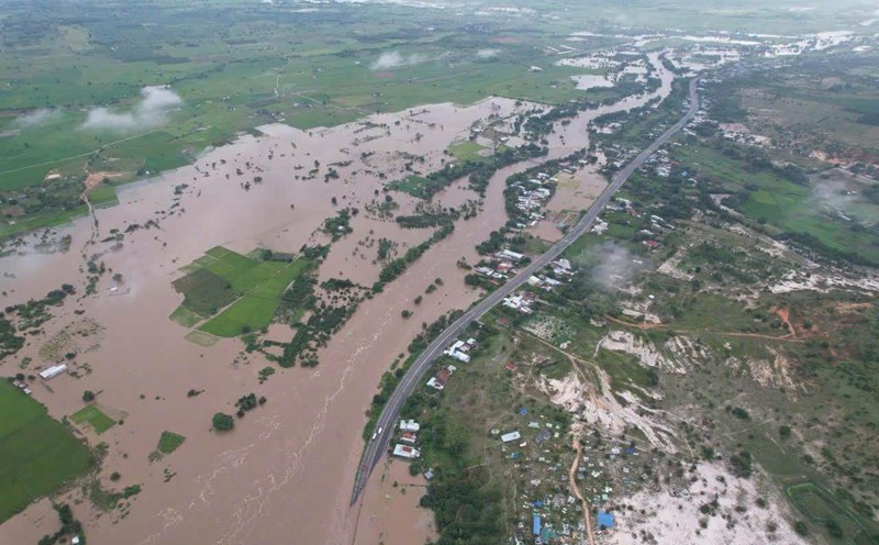
According to the Central Hydrometeorological Station, at 1:00 p.m. the same day, the water level on the Vu Gia River at Hoi Coi reached 17.15m, 0.65m higher than alert level 3; at Ai Nghia 9.52m, 0.52m higher than alert level 3. On Thu Bon River, the water level in Nong Son reached 17.42m, exceeding alert level 3 by 2.42m; at Giao Thuy 9.09m, at Cau Lau 4.15m and at Hoi An 2.15m - all higher than alert level 3. Only the Han River in Cam Le has also exceeded alert level 1 and the Tam Ky River is about 0.32m below alert level 1.
It is forecasted that in the next 6 to 12 hours, the water level on the Vu Gia - Thu Bon river system will continue to rise. The flood peak in Ai Nghia can reach 10.3m, in Cam Le 2.8m, in Giao Thuy 10m and in Hoi An 3m - all exceeding alert level 3 by 0.3 to more than 1m. The downstream flood will peak in the next 12 to 24 hours, with the risk of deep flooding and widespread flooding in low-lying areas and urban areas.
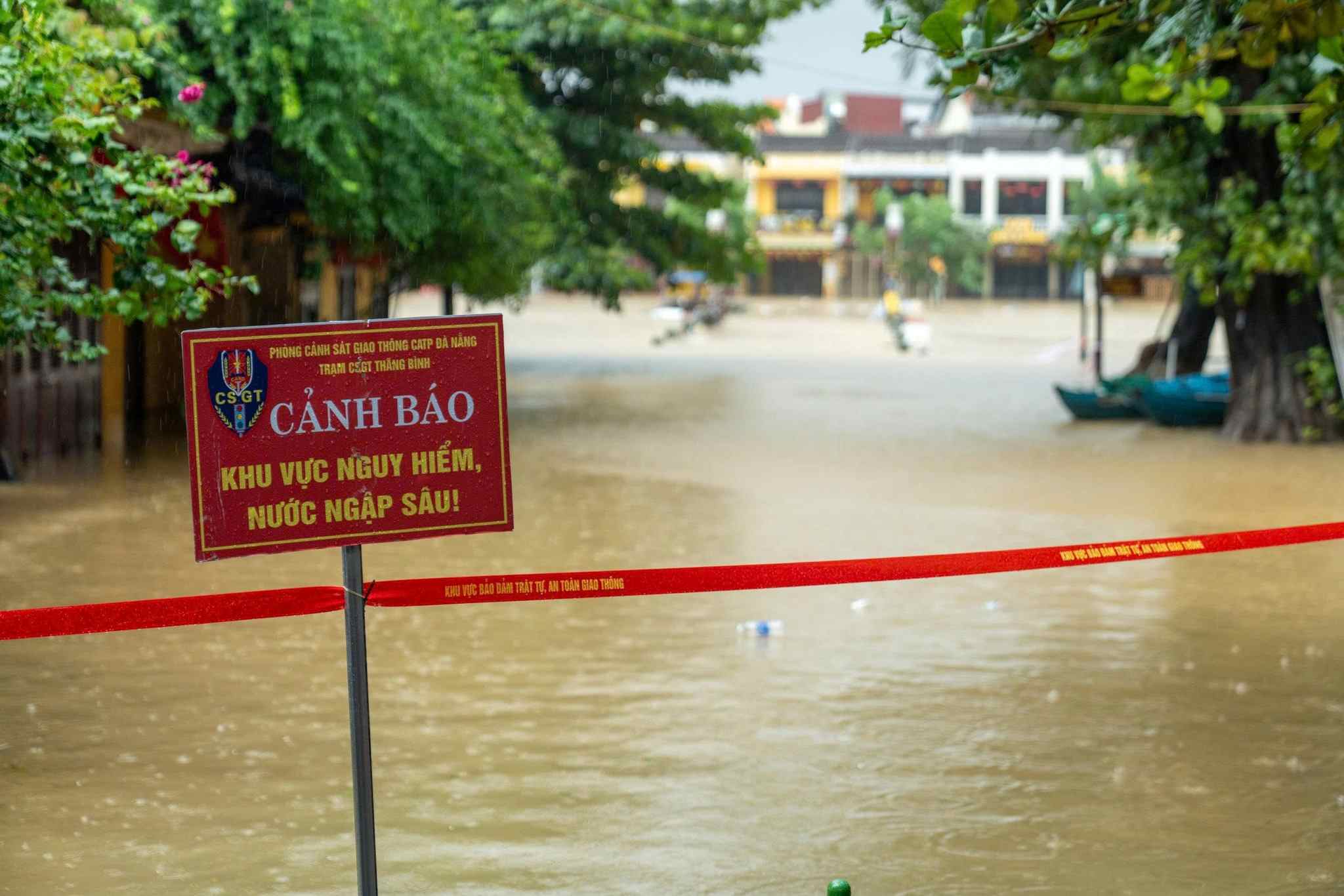
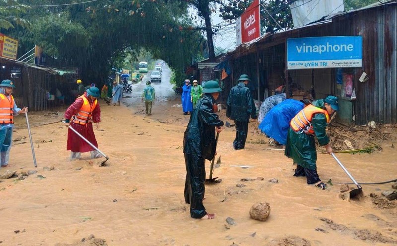
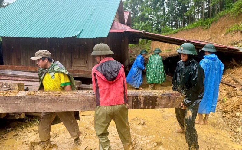
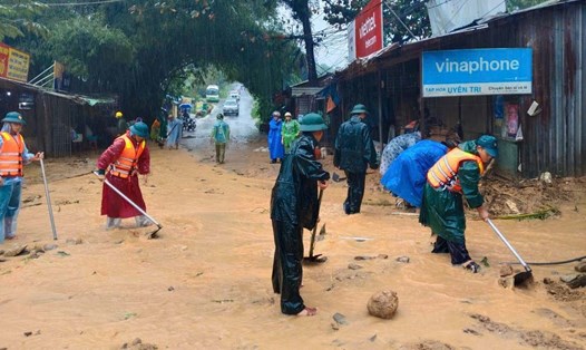
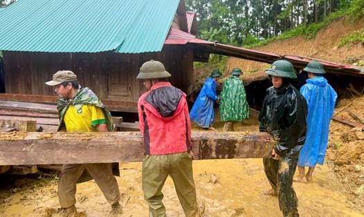
The communes and wards of Que Phuoc, Nong Son, Duy Xuyen, Thu Bon, Xuan Phu, Thanh My, Thuong Duc, Ha Nha, Phu Thuan, Vu Gia, Dai Loc, Go Noi, Dien Ban, Hoa Tien, Hoi An... are warned of the risk of severe flooding, landslides, flash floods.
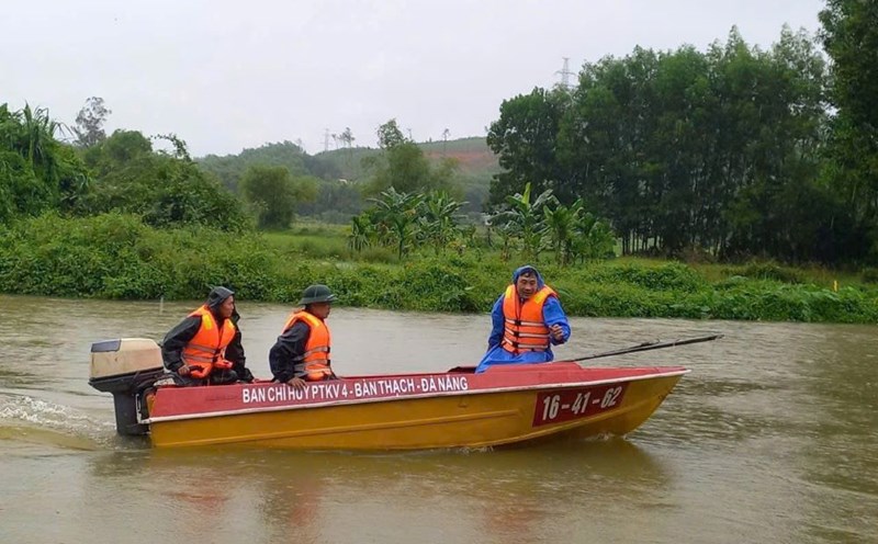
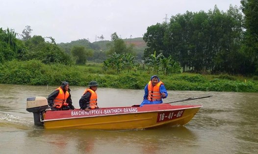
The meteorological agency warns of the risk of natural disasters due to floods at level 3. People need to proactively evacuate from dangerous areas, protect their lives and property.