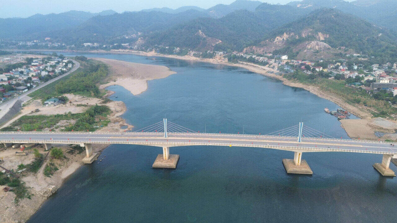
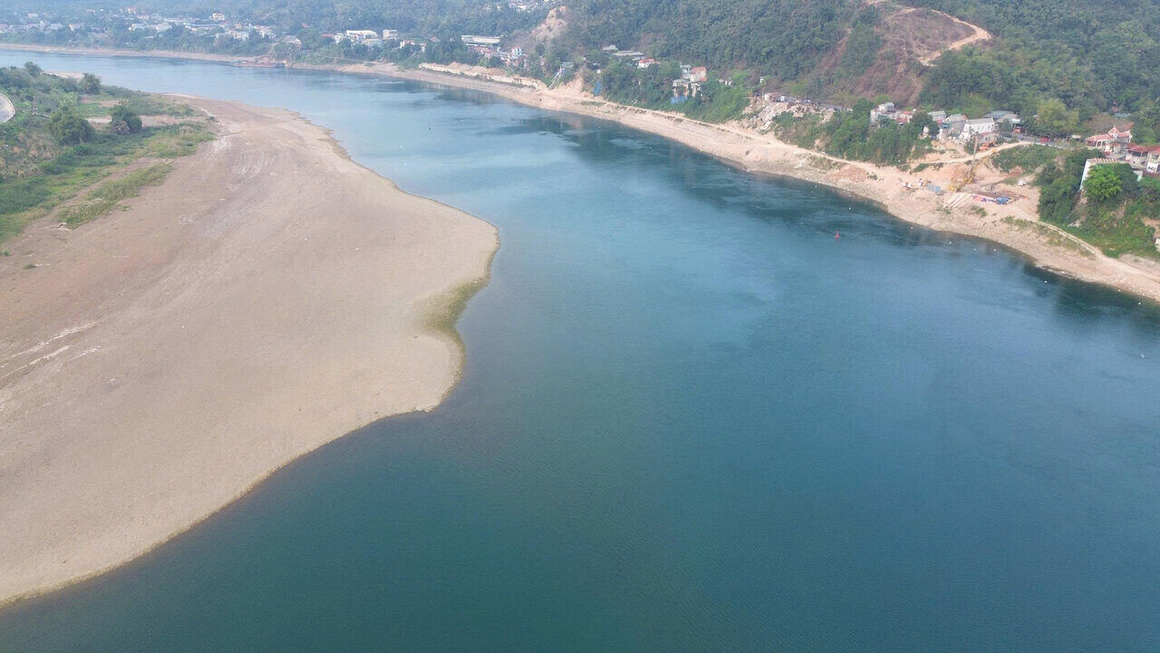
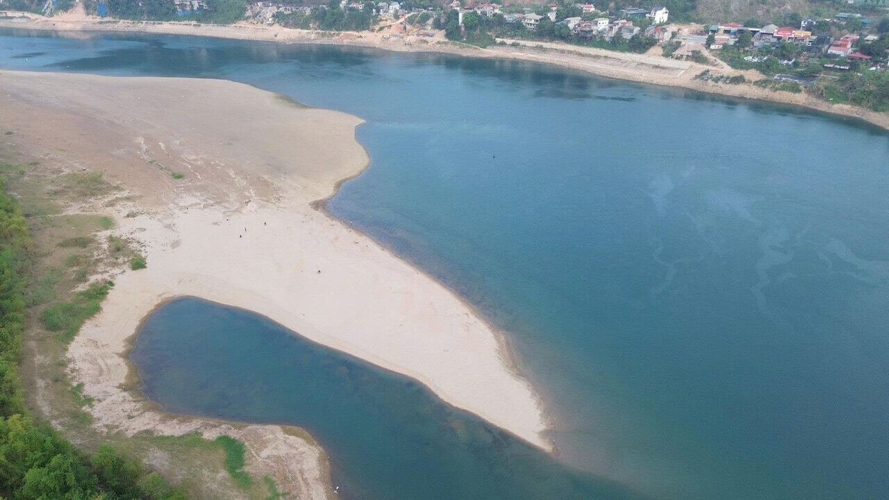
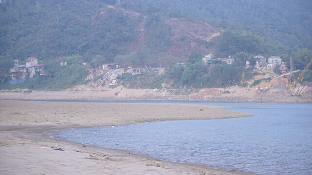
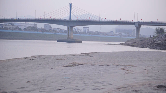
According to records of Lao Dong Newspaper reporters on the afternoon of March 15, in the area at the foot of Huu Nghi Bridge (commonly known as Hoa Binh 2 Bridge, belonging to Hoa Binh ward), the river water level has dropped very low, many sand and gravel alluvial grounds stretching hundreds of meters are clearly visible in the middle of the river.
At the time the reporter was present, the water only flowed in about half of the riverbed, the rest became wide sandbanks interspersed with gravel.
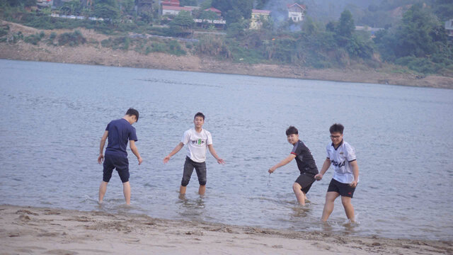
Many local people expressed interest in this rare scene.
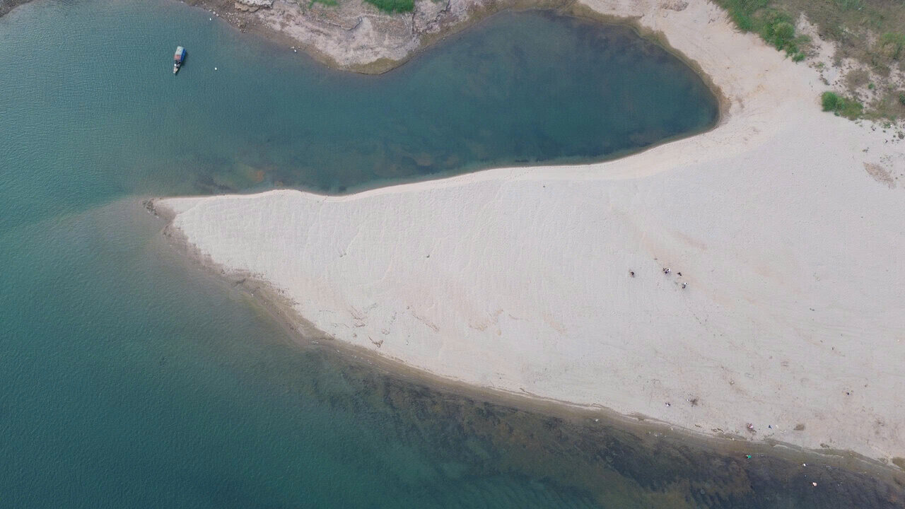
Many people go down to alluvial grounds to stroll and take pictures; they can even walk quite far into the middle of the river due to shallow water levels and weak currents.
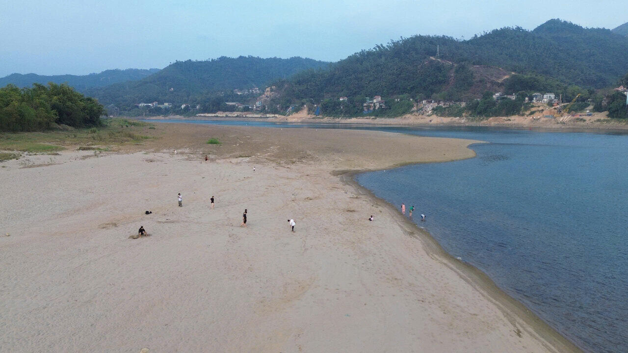
Mr. Bui Minh Tuan (24 years old, residing in Hoa Binh ward) said that the scene of the riverbed exposing a wide strip as it is now rarely appears.
According to Mr. Tuan, only when upstream hydropower reservoirs limit water discharge and the river water level drops low will the sandbanks that are deep under the river surface be revealed.
Normally, the water in this area is quite deep, making it difficult to see the alluvial ground. But in recent days, the water has dropped low, so many sandy beaches have emerged clearly, and you can walk quite far into the middle of the river," Mr. Tuan shared.
Mr. Pham Xuan Quynh (owner of the sand yard at the foot of Hoa Binh Friendship Bridge) informed that compared to September-October 2025, when Hoa Binh Hydropower Plant discharged floodwater, the current river water level is about 25-30m lower.
According to Mr. Quynh, the significant reduction has turned many areas of the riverbed, which were previously deeply flooded, into wide sand dunes, clearly visible in the middle of the flow and visible to the naked eye from the bridge.
Mr. Ngo Van Thong - Head of the fishing village on Song Da shared that this time is entering the end of the dry season, so the amount of water from upstream flowing in has decreased sharply.
Meanwhile, hydropower reservoirs in the basin mainly operate for power generation and do not discharge overflows, causing the water flow downstream to decrease, leading to low river water levels and many alluvial grounds revealed in the middle of the riverbed.
According to Mr. Thong, this phenomenon usually appears at the end of the dry season every year, but this year's water level decrease has clearly revealed many areas of the riverbed that are already deeply flooded.
According to operating data from Vietnam Electricity Group at 5:00 AM on March 16, the water level was 114.65m, lower than the normal water level (117m). The water flow to the reservoir reached 930m3/s, the total discharge through the plant was 363m3/s.
According to data from Inland Waterway Maintenance Management Joint Stock Company No. 9, the water level in the downstream area of Hoa Binh Hydropower Plant is currently fluctuating at 4.6-4.8 m.


