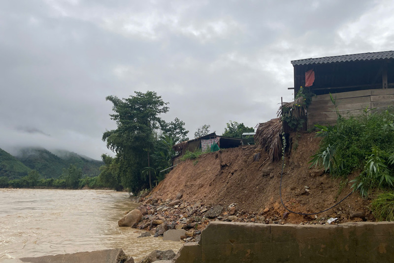
In mid-May, after the first rains of the season, anxiety reappeared in Lang Chang village when the Ngoi Hut stream continued to have many landslide points deep into residential areas.
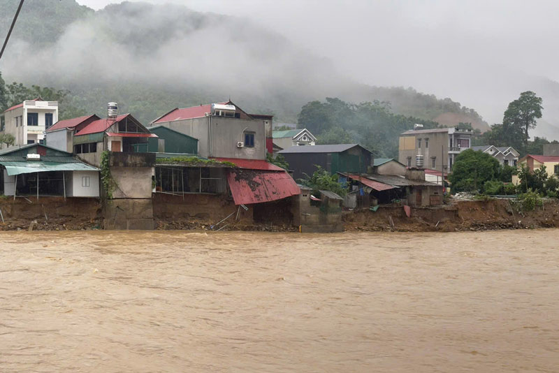
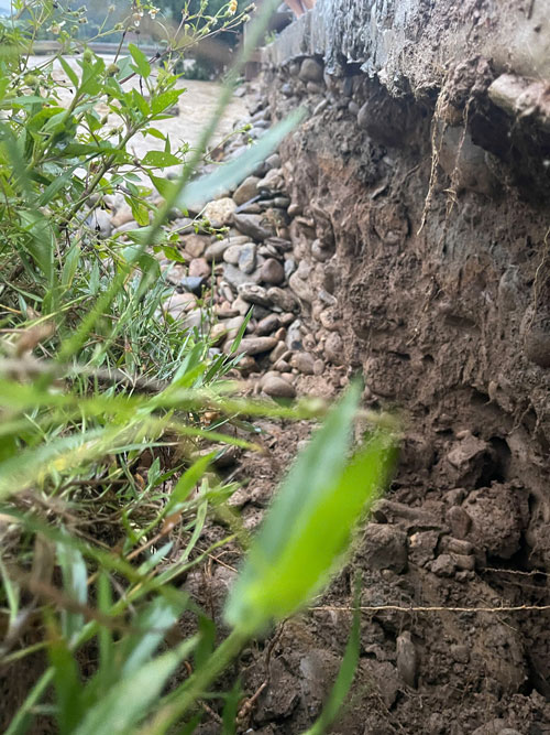
After major floods and storm circulations at the end of 2025, the flow changed, creating strong whirlpools that deepen the shoreline, forming a series of dangerous "frog mouths" close to people's houses.
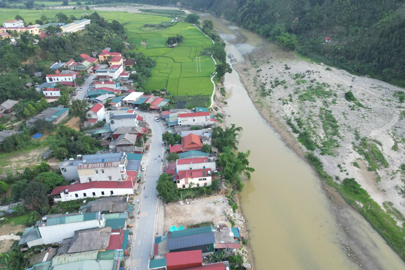
According to local records, about 900m of the stream bank is in a serious landslide situation.
Not only sweeping away about 4,000m2 of agricultural land, the raging water also directly threatens the inter-village road, the water drainage system and more than 2 hectares of rice land belonging to the village's concentrated production field.
Phong Du Thuong commune is a mountainous area with a strongly divided terrain, steep slopes, and many streams. In the rainy season, water from upstream of Ngoi Hut flows in at a strong current speed, causing the risk of flash floods and landslides to always be high.
Especially, during the floods caused by the storm circulation at the end of 2025, stream water once rose above the inter-village concrete road surface. The strong whirlwind flood completely subsided many weak soil structures, collapsing auxiliary works, barns, fish ponds and many areas of production land along the stream.
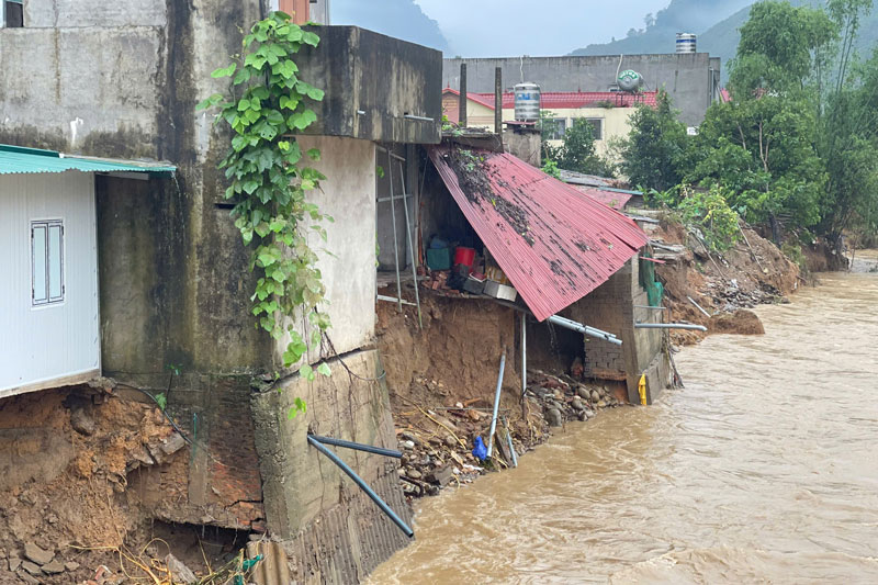
The house of Mr. Hoang Van Tuan's family, located next to the stream, is one of the most heavily affected areas. After each heavy rain, the land behind the house continues to be deeply eroded by water, and many auxiliary works have completely collapsed.
“Someday, while sleeping, I heard the sound of soil and rocks collapsing loudly behind the house, the whole family had to run out in the middle of the night. Now, every time it rains heavily, no one dares to sleep soundly,” Mr. Tuan shared.
Not only Mr. Tuan's family, dozens of other households in Lang Chang village are also living in anxiety when cracks appear on the floor, and the foundation is hollow due to deep cavities.
Through the review of local authorities, there are currently 28 households located in the area directly affected by the Ngoi Hut stream landslide.
In addition to housing damage, infrastructure serving agricultural production is also facing the risk of serious damage.
The inter-field road leading to the production area has had its foundation hollowed out by water, with many large cracks appearing, posing a risk of complete breakage if heavy rain and floods continue to occur.
Bringing machinery to the fields is therefore very difficult, increasing production costs and transportation costs of people's agricultural products.
On May 18, in an exchange with Lao Dong Newspaper, Mr. Luong Van Thu - Chairman of Phong Du Thuong Commune People's Committee said that in the face of the risk of unsafety in the 2026 rainy and storm season, the commune has implemented temporary reinforcement solutions at key locations, and at the same time proposed to invest in a 900m long landslide prevention embankment to protect residential areas and production land.
However, because the project has not completed public investment procedures, the locality has only allocated capital to implement about 150m of stone cage embankment at the most dangerous points in advance.
The commune government is proposing to competent authorities to allow the recovery of rocks and gravel from the stream bed after the flood so that people can temporarily reinforce the foundation of their houses and the stream bank.
Mr. Luong Van Thu also said that investing in the Ngoi Hut stream landslide prevention embankment is an urgent need to protect people's lives and property, and at the same time maintain stable production land area before the peak rainy and flood season is approaching.


