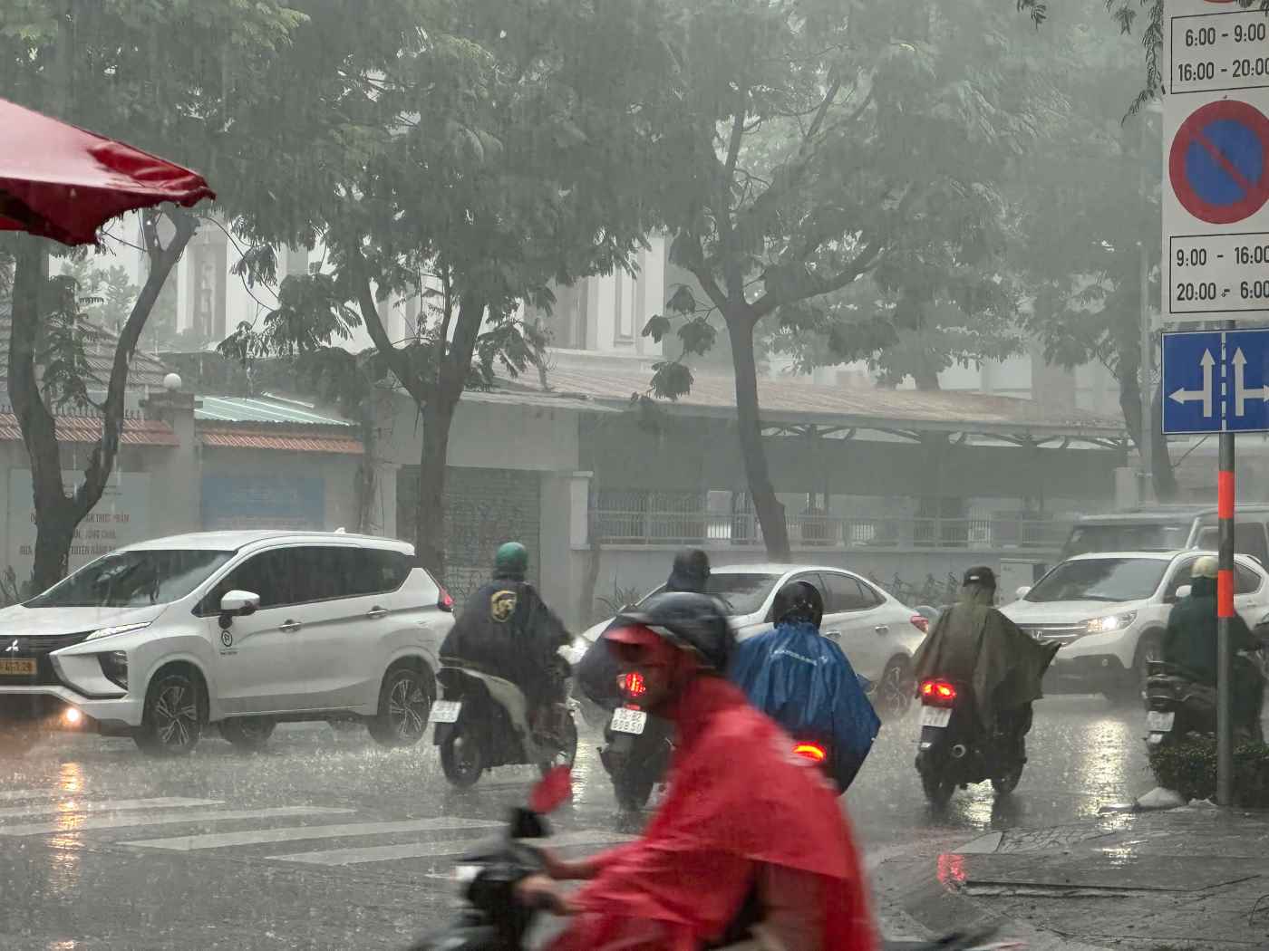
In the afternoon of January 6, thunderstorms occurred in many wards and communes in Ho Chi Minh City, with moderate to heavy rain in some places accompanied by thunderstorms. Prolonged rain caused localized flooding on some roads, difficult traffic movement, and limited visibility for traffic participants.
On some roads such as Ton That Huyet, Quoc Huong, Ky Dong... it rained heavily like a drizzle.
Mr. Le Dinh Quyet - Head of the Forecasting Department of the Southern Hydrometeorological Station, said that currently the Southern region is being affected by weak easterly wind disturbances.
This weather pattern combined with the northern edge of the equatorial low pressure trough, with an axis of about 4-6 degrees North latitude (the trough has many favorable conditions for rain), has increased the possibility of rain in the area.
The above weather systems create a convergence zone right in the South. In addition, strong cold air also contributes to reducing air temperature. Low temperatures, high humidity, and low-level cloud cover obscure sunlight, causing fog and reducing visibility.
Regional weather forecast for the next 2-3 days tends to be cloudy, sunny during the day, sometimes intermittent sunshine. In the late afternoon and night, there may be showers and thunderstorms in some places, mainly concentrated in the eastern coastal area, rainfall is not large. The lowest temperature tends to gradually decrease, at night and early morning the weather turns slightly colder.


