
Forming a new traffic axis along the North-South corridor of the city
The above project is on the list of 98 key traffic and technical infrastructure projects of Ho Chi Minh City to be implemented in the period 2026 - 2030 just issued by the Ho Chi Minh City People's Committee.
The Saigon riverside road, the section from Den Do Cape (Nha Be commune) to Ben Suc bridge (Thai My commune), is about 78km long and 30 - 40m wide.
The Ho Chi Minh City Traffic Construction Investment Project Management Board is preparing a dossier proposing investment policy for the project according to the public-private partnership (PPP) method.
According to the preliminary proposal, the project has a total investment of about 21,200 billion VND. Of which, the city budget capital is about 9,650 billion VND, and the investor's capital is about 11,550 billion VND.
Ho Chi Minh City is expected to approve the investment policy of the project in the fourth quarter of 2026, deploy and complete it in the period 2026 - 2030.
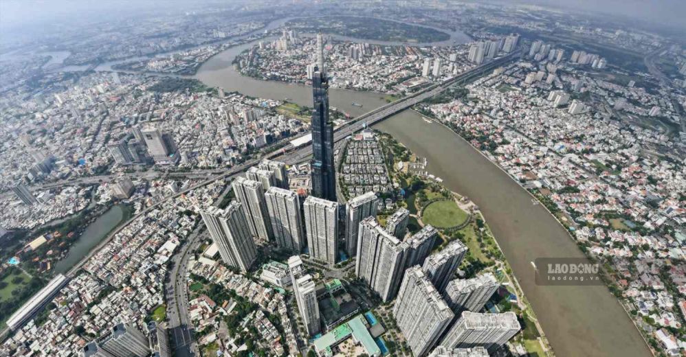
The Saigon River is about 256km long, originating from the former Binh Phuoc province (now Dong Nai City) and flowing through Tay Ninh, Binh Duong (formerly) and Ho Chi Minh City.
The section flowing through Ho Chi Minh City previously was about 80km long, winding through many urban areas, creating typical spaces such as Thanh Da peninsula, Thu Thiem urban area.
However, the development process of the riverbank corridor for many years has not been synchronized. The riverside space in many areas is still fragmented and scattered, while the potential for urban, commercial, service and tourism development has not been exploited commensurately.
According to the Ho Chi Minh City Department of Construction, the Saigon riverside road is expected to open up a new direction for urban development, creating a highlight for the riverine landscape and attracting domestic and international tourists.
The route also forms a new traffic axis along the North-South corridor, increasing connectivity from District 12, Hoc Mon, Cu Chi (old) to the city center, and connecting with Nha Be, Can Gio and District 7 (old) areas.
Notably, the route will connect with Ring Road 2, Ring Road 3, Ring Road 4, Ben Luc - Long Thanh expressway, and major traffic axes such as National Highway 13, National Highway 22, Ho Chi Minh City - Moc Bai expressway and Ho Chi Minh City - Chon Thanh expressway.
The formation of this network is expected to improve the efficiency of traffic system exploitation, strengthen regional linkages and reduce pressure on existing national highways.
Besides the traffic value, the Saigon riverside road is also expected to create conditions to effectively exploit the land fund along the route. This can become an important resource for Ho Chi Minh City to generate revenue and reinvest in infrastructure development.
Another Saigon riverside road is being implemented
In addition to the approximately 78km long road mentioned above, Ho Chi Minh City is implementing another Saigon riverside road project, about 7.5km long, with a scale of 6 lanes.
This route passes through Lai Thieu, Binh Hoa and Thuan An wards, and site clearance is being carried out to implement the project.
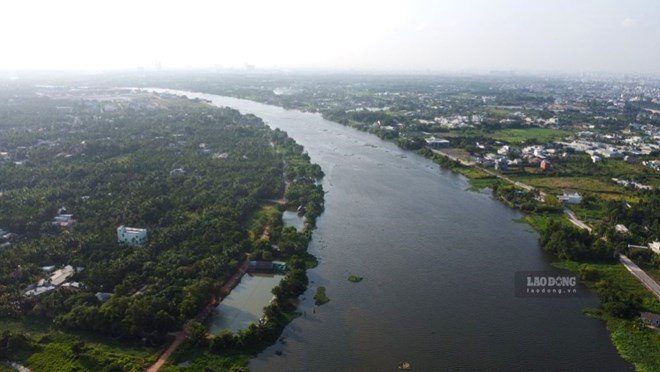
The project is divided into 3 sections. In which, the section from Gia Long road to Vinh Phu 40 road is more than 1.8km long; the section from National Highway 13, near Vinh Binh canal, to Vinh Phu 40 road is more than 3.9km long; the remaining section from Binh Nham canal to An Son port is about 1.8km long.


