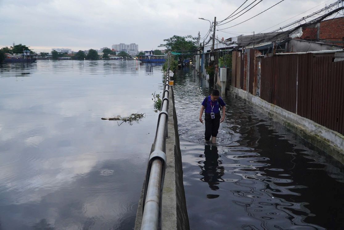
According to Lao Dong on Rach Cung Street (Binh Dong Ward), at around 4:30 p.m., the water from Doi Canal began to rise, causing flooding.
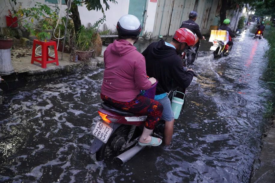
At around 5pm, the surface of Rach Cung Street (through Phu Dinh ferry) was flooded about 30-50cm deep.
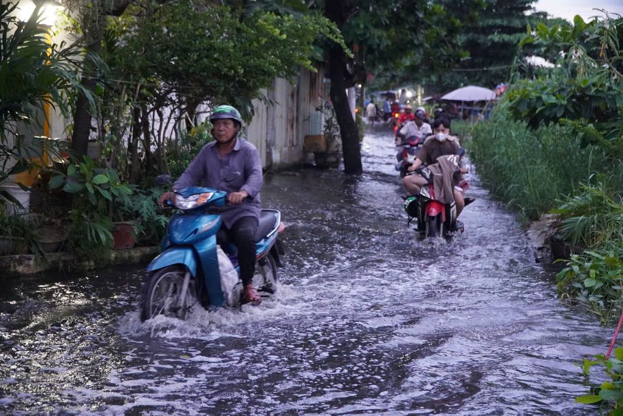
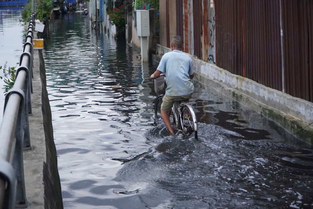
The flooded road made it difficult for people to travel here, many vehicles temporarily stalled, forcing people to get out and walk.
People living here said that this situation has lasted for many years, especially serious when high tides coincide with heavy rain.
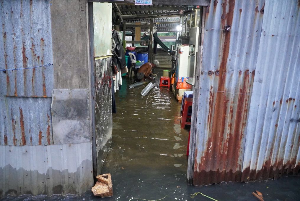
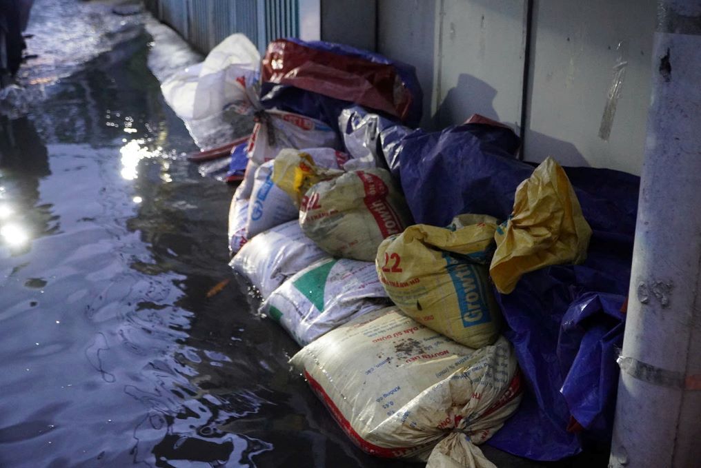
Ms. Tran Thi Thuy Van (Binh Dong ward) said that flooding has become a "normal thing" for people in the area. According to Ms. Van, her house was flooded before, then her family had to raise the foundation to reduce damage.
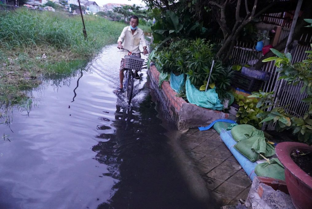
"Every high tide peak can be up to knee deep. This road has degraded, with many "potholes", and when the tide rises, it is covered, making it more difficult for people to travel. Many people have fallen," Ms. Van said.
According to the Southern Hydrometeorological Station, in the past 24 hours, the highest peak water level of the day at most stations on the Saigon River has risen slowly and is at a high level.
At 7:00 a.m. on November 21, the highest daily tide peak measured at some stations was at the level of 0.04 m above alert level 3, 0.12 m above alert level 3, Thu Dau Mot above alert level 3...
In the coming days, the highest water level of the day at most stations on the Saigon River will continue to rise following the high tide in early October of the lunar calendar for another 1-2 days, then fall again. The peak tide in this period is likely to appear on November 21-22.

At Phu An and Nha Be stations, it may rise to 1.65-1.70 m (about 0.05-0.10 m above alert level 3).
Thu Dau Mot Station will increase to 1.75-1.80 m (0.15-0.20 m higher than alert level 3).
It is necessary to be on guard against heavy rain combined with high tides causing flooding in low-lying areas, along rivers, affecting traffic and socio-economic activities in the city area.