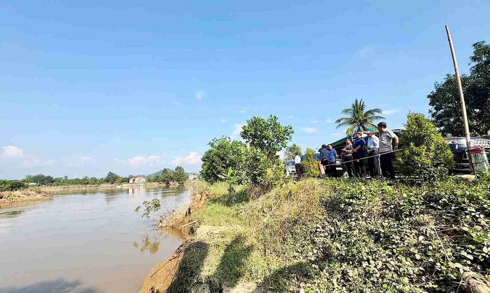
On December 12, it was recorded that the water level of the Dong Nai River rose during the recent flood, causing a 550m long section of the riverbank through Cat Tien Commune (Lam Dong) to be seriously eroded. The landslide is directly threatening the residential road in village 12 (Cat Tien commune) and many households living inside.
In the landslide area, there is a deep excavation point, with the landslide surface expanding by nearly 10m, about 30m long. The deep- feeding spike exposed the frog's jaw, the risk of landslides continued to spread to the surrounding area and increasingly approached the residential road next to it.
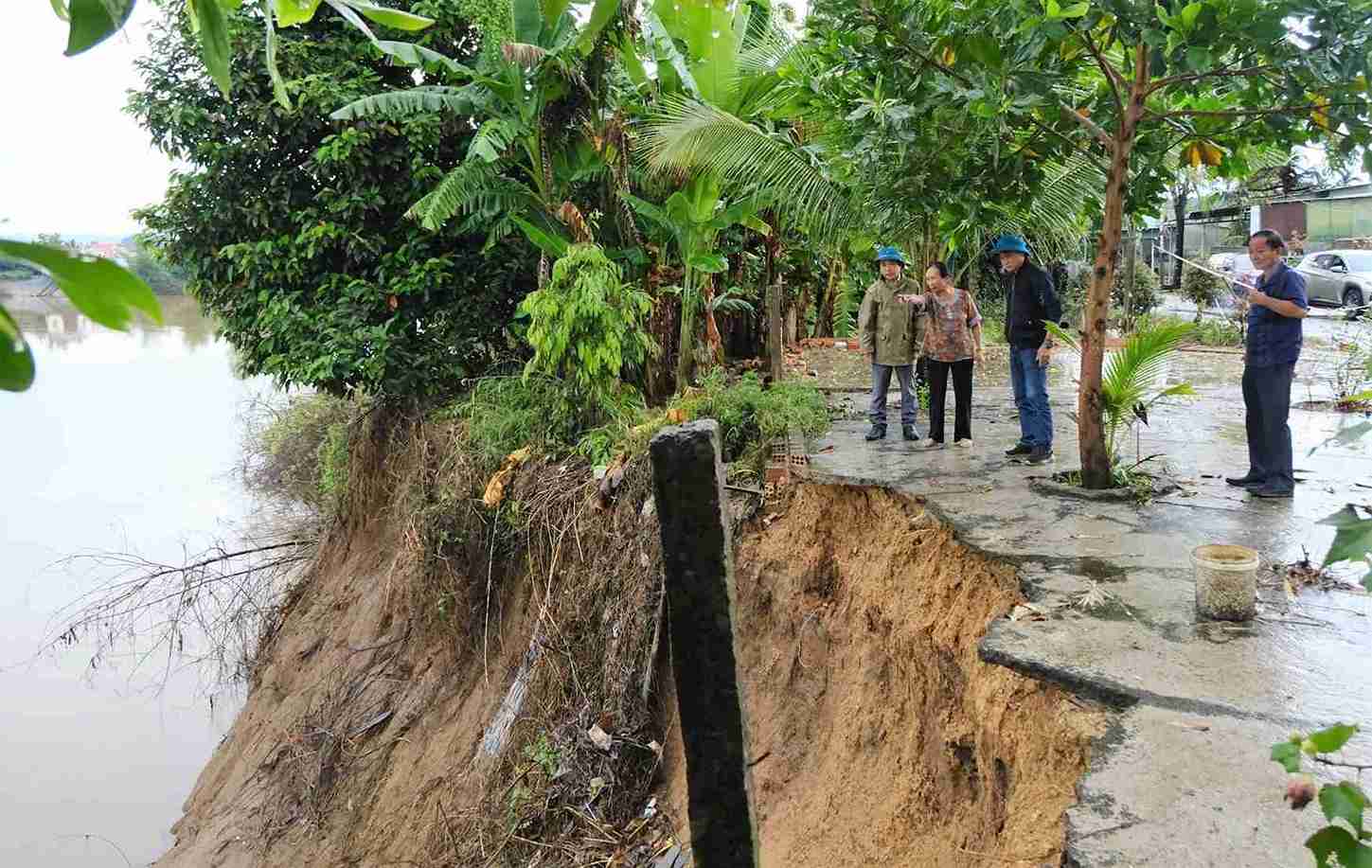
According to the leader of Cat Tien commune, if there are no early remedial measures, in the long term, erosion will risk washing away the entire road close to the shore. At that time, erosion will directly threaten the houses of dozens of households in village 12, especially those with houses near the riverbank.
Ms. Dinh Thi Nguyet (residing in village 12, Cat Tien commune) said: "During the flood at the end of November, the rising water of the Dong Nai river caused this area to be flooded nearly 2m deep. Floods receded and riverbank erosion occurred, so it was very worrying. My family's grocery store near the riverbank was threatened by a landslide, causing a large wall to fall into the river."
Local authorities are urgently deploying response measures; at the same time, Lam Dong Provincial People's Committee is recommended to consider investing in solid embankments to prevent landslides.
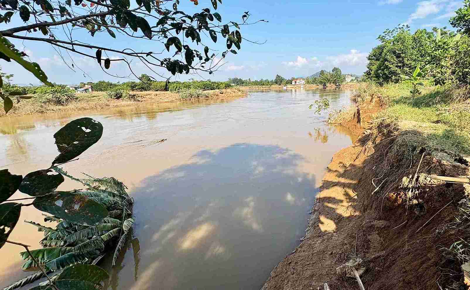
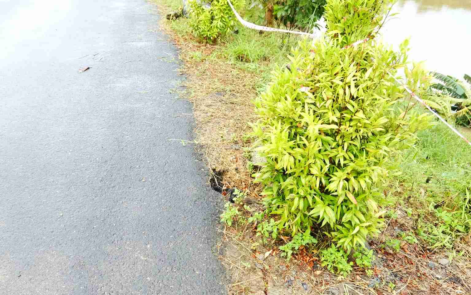
Mr. Nguyen Phuoc Thuan - Vice Chairman of Cat Tien Commune People's Committee - said: Through inspection and monitoring, it shows that the level of erosion of the Dong Nai riverbank in this area is very complicated. The erosion is now close to the foot of the road, and just one unfavorable development could cause the road to sink.
To prevent erosion, the locality has recommended that Lam Dong provincial authorities promptly support the closure of markers, release stone cages to keep the banks, reduce the erosion rate and protect the road and residential areas of village 12. The locality is coordinating with specialized units to survey the entire affected 550m section to accurately identify vulnerable locations and propose appropriate handling options, Mr. Thuan discussed.


