
Dai Thanh Commune People's Committee (Hanoi) has issued a notice on preparing CCCD and original land papers to implement the 45-day and night campaign to complete the land database as a basis for considering issuing land use right certificates in the commune.
Accordingly, Dai Thanh Commune People's Committee requests organizations, companies, and businesses to bring originals of all kinds of documents to the Village Cultural House for the Working Group to scan, update, and locate land plots on the national database system, including:
Business registration certificate; certificate (if any); land allocation decision (if any); land registration confirmation but not yet granted a certificate (if any);
Originals or photocopies or notarized copies of documents related to land use: Purchase and sale contracts, transfers; agricultural tax and fee invoices (if any)...
Dossier collection location at the Cultural House of 19 villages in the commune; time from July 12 to the end of July 16.
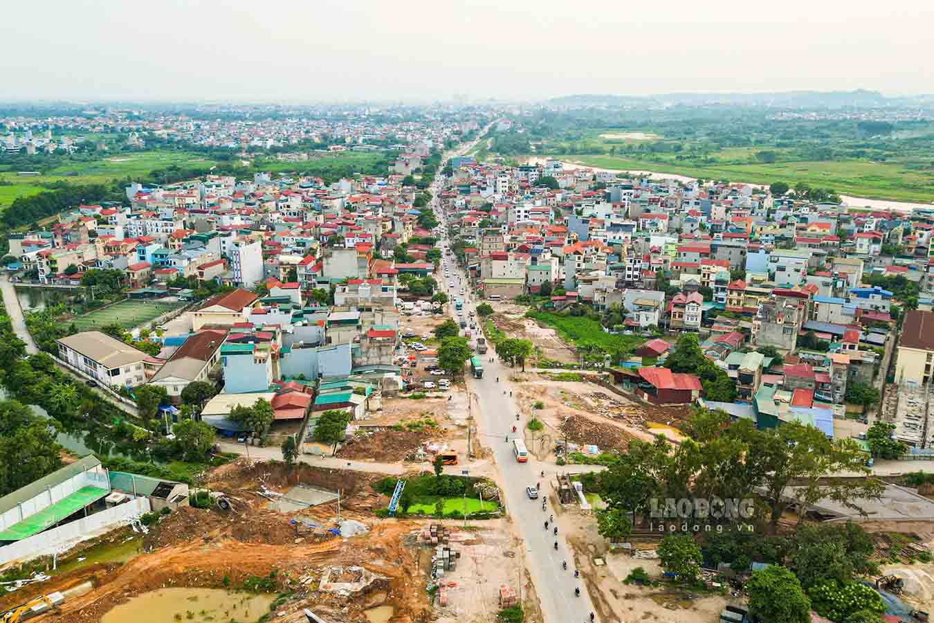
According to statistics, Phu Nghia commune has a natural area of 4,024.08 ha with a total of 52,504 land plots, including 23,822 non-agricultural land plots and 28,232 agricultural land plots.
Currently, the ViLIS system has only managed 32,643 land plots; many cadastral records and land division maps made many years ago have not been accepted, are not synchronized and have not been fully digitized, causing no small difficulties for management and data updates.
For the group of land managed by the State, the commune has received and reviewed 1,954 land plots and proposed registration for 992 plots, mainly traffic, irrigation, cemetery, cultural, sports and public works land.
To effectively implement the campaign, Phu Nghia Commune People's Committee has established a Steering Committee and 21 working groups to assist; and at the same time proposed to issue 112 accounts to serve the updating and standardization of land data.
The implementation is carried out drastically with the motto "going through each alley, knocking on each house, searching for each object", ensuring that all land plots, from the smallest area to each meter of land, have complete accurate information on cadastral maps and in land databases.
Phu Nghia commune strives to complete the review and standardization of data for non-agricultural land and agricultural land that has been measured and is in the database belonging to group 1 and group 3 before July 30, 2026; complete the area of agricultural land under measurement and build a database before August 30, 2026.
In Son Dong commune, 24,334 non-agricultural land plots have been surveyed for cadastral maps; of which 16,306 plots have had databases built, 12,572 plots have been cleaned, reaching about 77%.
However, there are still 3,734 plots that need to be further reviewed, revised, and data cleaned up, and 8,028 plots that have not yet built a database.
To effectively implement the campaign, the Commune People's Committee has established a Steering Committee and 6 Working Groups in charge of each residential area with the task of propagating and mobilizing people to coordinate in providing dossiers, land use right certificates, citizen identification cards and related documents.
At the same time, directly review, compare, collect information, coordinate with Hoai Duc Branch of the Land Registration Office to update and standardize data, ensuring the completion of targets according to the plan.
Son Dong commune strives to complete cleaning of 3,734 land plots before July 30, 2026, and at the same time deploy the construction of a database for the remaining 8,028 land plots, ensuring progress according to the plan.


