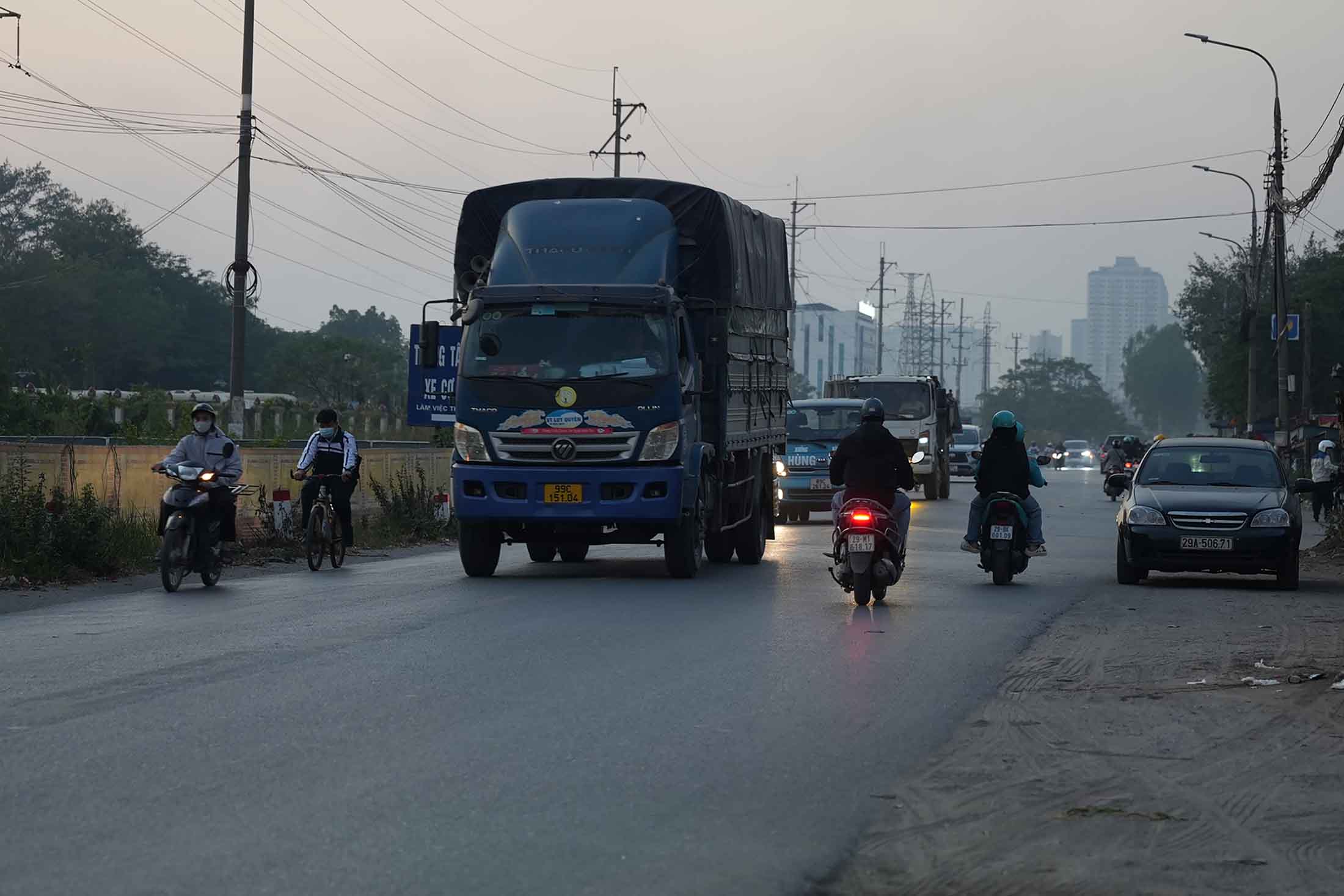
Provincial Road 70 (Ha Dong - Van Dien section) plays an important role in the economy and society of Hanoi in general and the southern area of the city in particular.
When Ring Road 4 has not been formed and Ring Road 3.5 has not been completed, Provincial Road 70 acts as an axis for inter-provincial traffic transiting through Hanoi, connecting radial national highways such as National Highway 32, National Highway 6, National Highway 1A and Lang - Hoa Lac Road.
However, in recent years, the rapid urban development, many new housing areas, along with the hospital and school systems, have caused frequent traffic jams on Provincial Road 70, Ha Dong - Van Dien section, unable to meet the travel needs of the people.
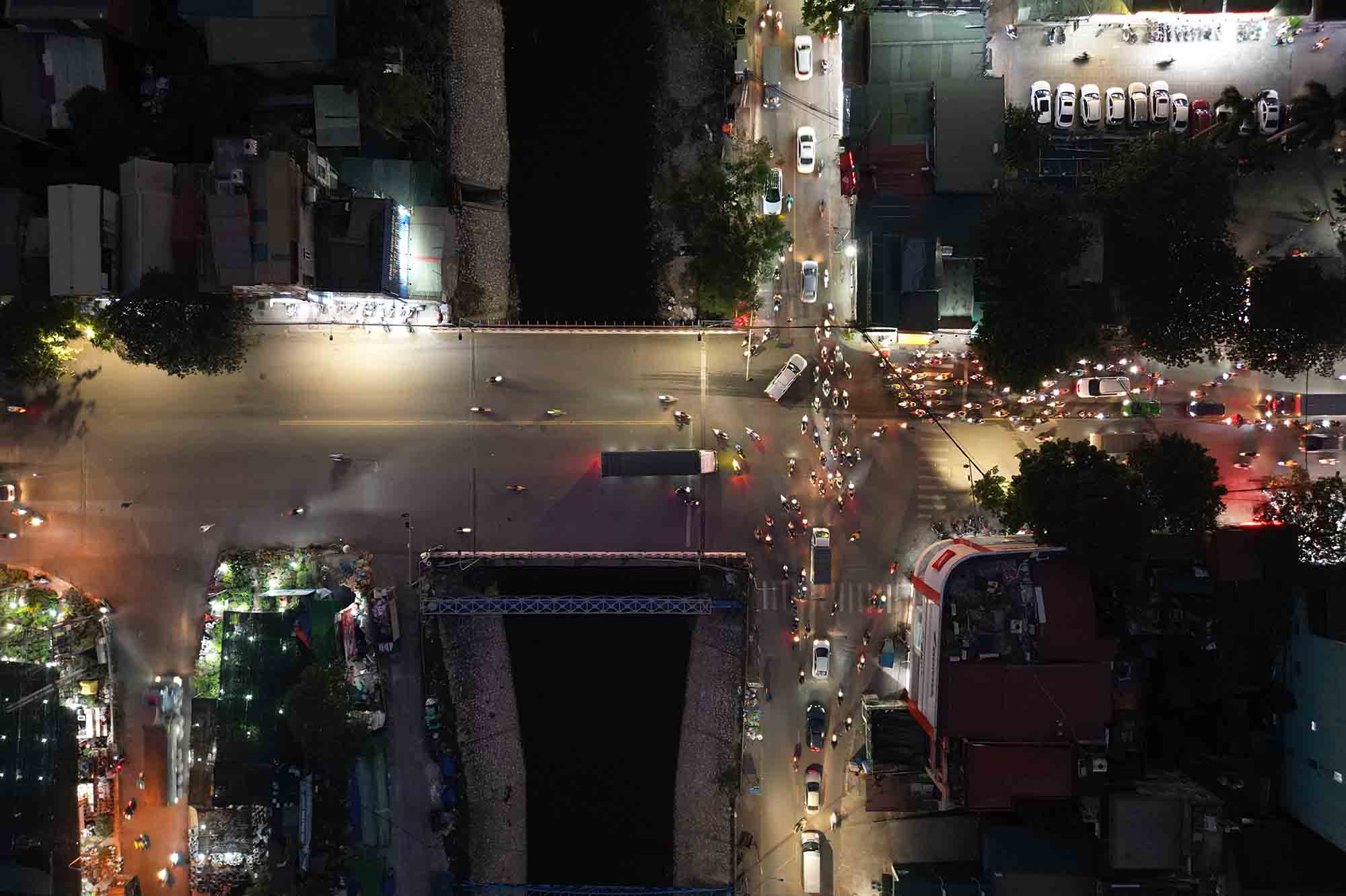
Some points of serious traffic congestion during rush hours are in front of the K Hospital gate (Tan Trieu branch 3), the intersection between Road 70 and Chu Van An Street, the intersection with National Highway 1A. Recently, there has been an additional section across To Bridge (Kim Giang - Phan Trong Tue intersection).

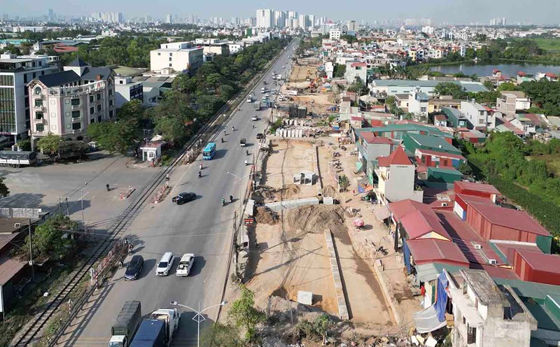
To solve the above situation, in the period of 2024-2026, Hanoi will expand Route 70 (Ha Dong - Van Dien section).
The project to renovate and upgrade Provincial Road 70, Ha Dong - Van Dien section, is 7.08km long, starting at Nguyen Khuyen Street in Van Quan urban area, ending at Tu Hiep intersection (connecting with the route connecting Phap Van - Cau Gie with Ring Road 3).
The project is implemented through the wards of Van Quan, Phuc La, Kien Hung (Ha Dong district) and the communes of Tan Trieu, Ta Thanh Oai, Thanh Liet, Vinh Quynh, Van Dien town, Tu Hiep commune (Thanh Tri district).
On the project route, there are 2 different level intersections including the intersection with the 53.4m wide planned road (connecting Ring Road 3 - Ring Road 4) and the intersection with the old National Road 1A in Thanh Tri district.

The project is divided into 3 component projects, including 2 compensation and resettlement support projects. The total estimated investment is more than 5,484 billion VND, from the city budget.
According to preliminary statistics, 355,828m2 of land (Ha Dong 14,996.19m2, Thanh Tri about 340,832.14m2) will be recovered to implement the project, of which agricultural land is about 205,352m2; residential land is about 47,537m2 with about 788 households affected; land for headquarters of agencies, units, traffic roads and airspace is about 102,939m2.
In addition to the synchronous construction of construction items, the project has invested in 3 more bridges on the route, including building a new bridge over To Lich River and National Highway 1A, building a new bridge over Hoa Binh River, and expanding To Bridge over To Lich River.
After the expansion is completed, the route will have a cross-section of 50m, helping to reduce traffic pressure on the southern gateway routes of the city, synchronizing traffic infrastructure, contributing to the socio-economic development of the capital.


