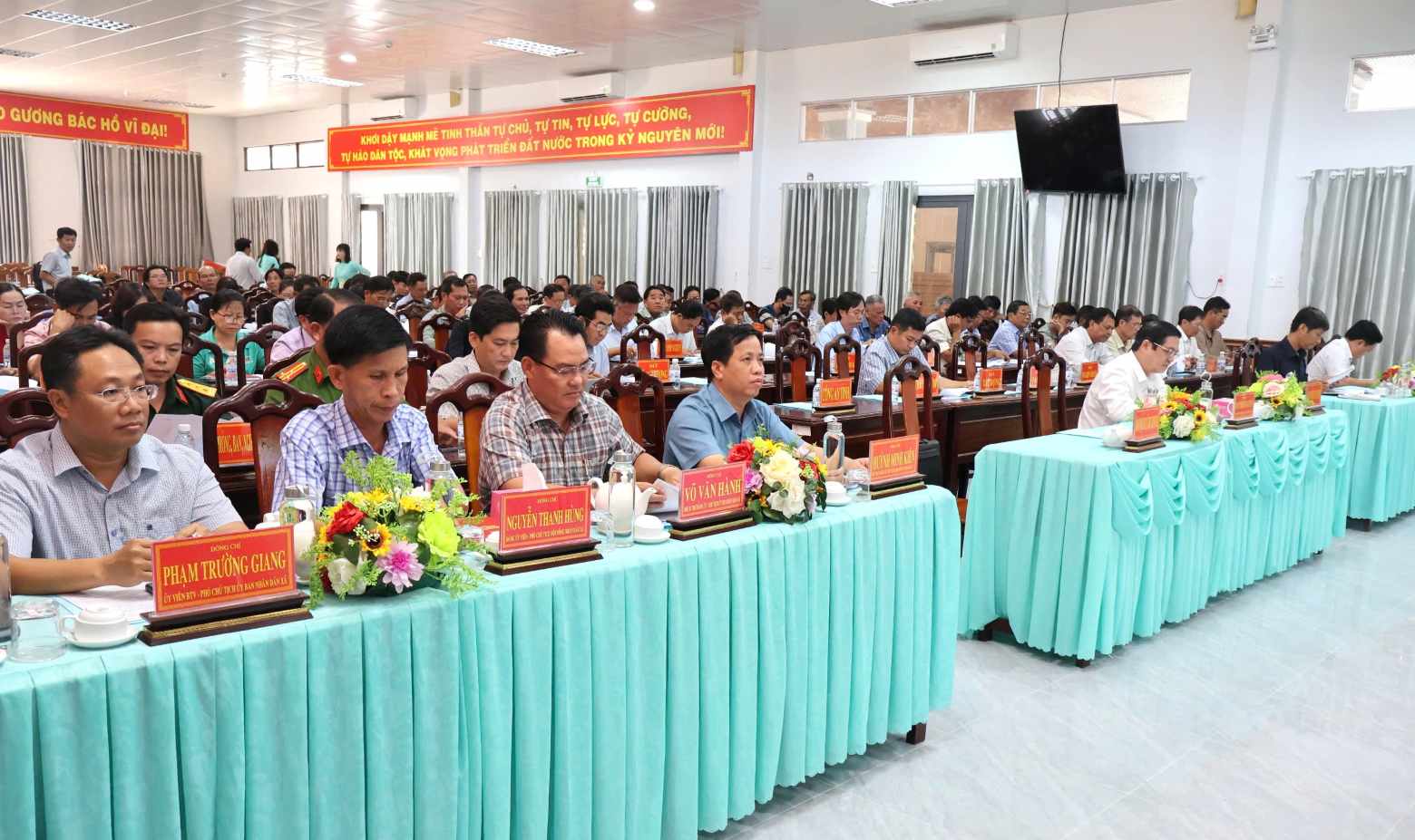
On the afternoon of January 29, at the hall of Nam Can Commune People's Committee, Ca Mau Provincial People's Committee organized the announcement of the Plan and Management Regulations of the Project to adjust the General Plan of Nam Can Economic Zone to 2045. Vice Chairman of Ca Mau Provincial People's Committee Huynh Chi Nguyen, leaders of departments, branches, local authorities and a large number of people from Nam Can and Dat Moi communes attended.
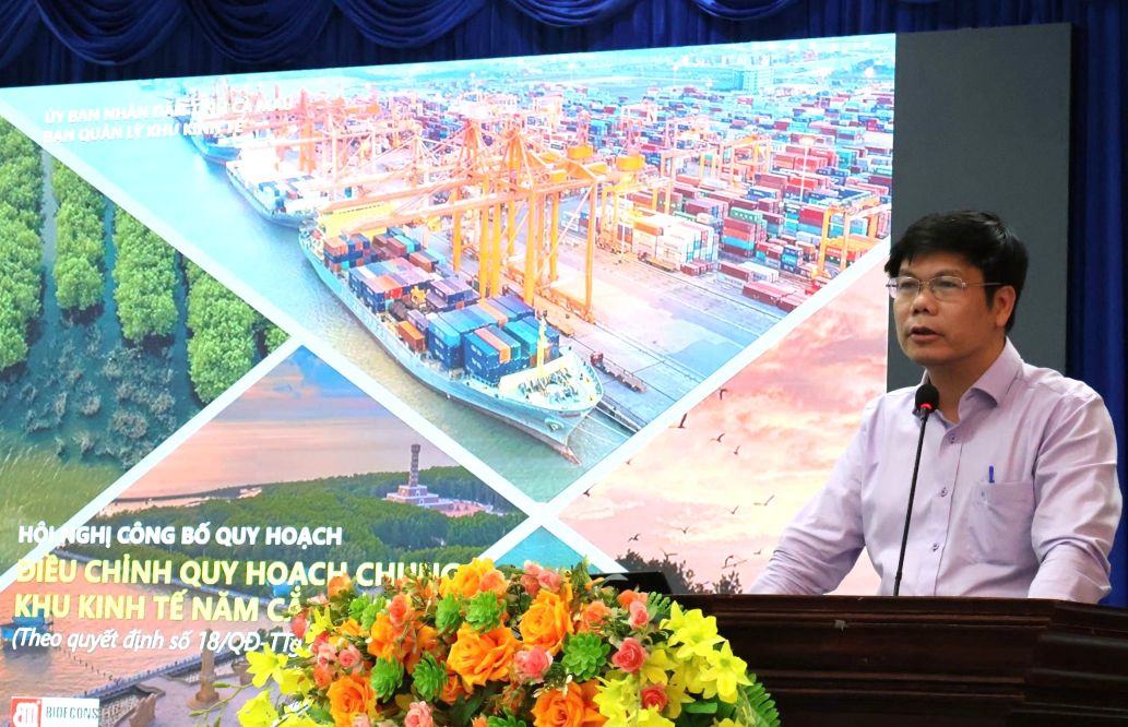
At the conference, Mr. Duong Hoai Nam - Head of the Management Board of Ca Mau Economic Zone announced Decision No. 18/QD-TTg dated January 6, 2026 of the Prime Minister approving the Project to adjust the General Plan of Nam Can Economic Zone to 2045 and Decision No. 242/QD-UBND dated January 23, 2026 of the Provincial People's Committee promulgating the Project Management Regulations.
According to the plan, Nam Can Economic Zone has a total area of about 10,802ha, located along National Highway 1 corridor, belonging to Nam Can commune and part of Dat Moi commune. By 2045, the economic zone is expected to attract a population of about 140,000–165,000 people, with a labor force of 84,000–100,000 people.
The plan is divided into two phases. By 2035, the scale of urban construction land and functional areas is about 4,200–4,500ha; by 2045, it will expand to 7,200–7,500ha. Nam Can Economic Zone is oriented as a multi-industry, multi-field integrated economic zone, including industry, trade, services, high-tech agriculture, eco-tourism and logistics, in which high-tech seafood is the key industry.
This is also an international maritime trade hub of Ca Mau province and the Mekong Delta region through Nam Can port, Hon Khoai port and logistics system along the Cua Lon River; is a driving force for the development of the southern coastal sub-region, creating a premise for building Nam Can urban area to meet the criteria of a type III urban area, associated with national defense and security tasks.
Regarding development space, the economic zone is organized according to a flag-shaped structure with 4 vertical and 4 horizontal axes. The vertical axes orient tourism, urban development, industry - logistics and high-tech agriculture; horizontal axes connect river systems, inter-regional traffic axes and economic centers.
The entire area is divided into 4 main development zones and 7 functional sub-zones, including Nam Can urban area, Ham Rong, Hang Vinh; tourism service area; non-tariff area; industrial - port - port logistics area; high-tech agricultural application area for aquaculture.
Speaking to direct, Vice Chairman of Ca Mau Provincial People's Committee Huynh Chi Nguyen emphasized that the announcement of the Nam Can Economic Zone Plan to 2045 is of great significance, creating a legal basis for management, investment attraction and organization of development space. He requested the Economic Zone Management Board to coordinate with departments, branches, and localities to soon deploy synchronous planning, strictly manage land, build, and select projects with advanced technology, environmentally friendly, creating a foundation for long-term sustainable development.


