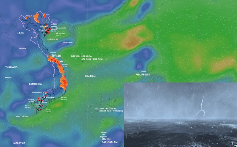
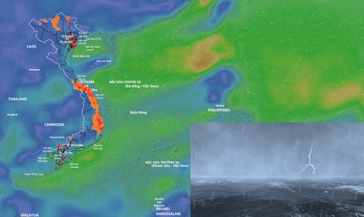
According to the Department of Hydrometeorology (Ministry of Agriculture and Environment), the 2025 storm season recorded extremely rare figures in terms of intensity, frequency and scope of impact. Since the beginning of the year, the East Sea has had 17 storms and tropical depressions (including 12 storms and 5 tropical depressions), much higher than the average of many years.
The development of the storm season also has some differences compared to previous years. The reporter had an interview with Mr. Hoang Phuc Lam - Deputy Director of the National Center for Hydro-Meteorological Forecasting - to determine the cause of that difference.

Sir, since the beginning of the year, have any storms with unusual characteristics been recorded?
- As early as June, storm No. 1 (Wutip), the first storm to appear in the East Sea in more than 40 years. Although storm No. 1 did not make landfall, it caused record rain of 250-550 mm from South Ha Tinh to Da Nang, many places exceeding 800 mm, leading to historic floods on the Central region's rivers.
Just over a month later, storms No. 3 and No. 5 consecutively made landfall, causing winds of level 10-11, gusts of level 12, rain of 200-400 mm, in some places over 500 mm, causing floods exceeding alert level 3 on the Ca River system, Ma River, Hoang Long River, Thao River...
Super typhoon No. 9 (super Ragasa) appeared in the East Sea in late September. The strongest intensity of super typhoon Ragasa is assessed by international typhoon forecasting centers to be stronger than super typhoon Yagi in 2024. For the first time in the forecast history, Vietnam has determined that the storm wind level will reach level 17, gusting above level 17, this is the final level of the Bo-pho storm wind scale. Super Typhoon Ragasa became the strongest super typhoon ever recorded in the East Sea. Although weakening before reaching shore, it shows the real risk of super typhoons in the context of climate change.
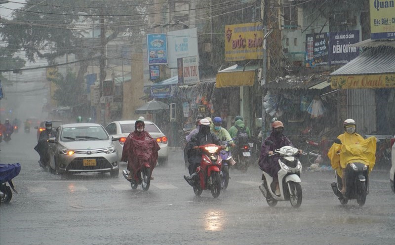
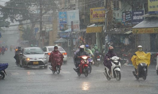
In particular, right after storm No. 9, storm No. 10 (Bualoi) made landfall directly in Ha Tinh, Bac Quang Tri with wind intensity of level 10-12, gust level 14, causing rain, flooding, landslides, and flash floods over a wide area from the North to the Central region.
This is a storm with many unusual and extreme points such as an average very fast travel speed of up to 30-35km/h (twice as fast as normal storms).
The time of storms on land in Nghe An - Bac Quang Tri provinces is only over 12 hours.
The circulation of strong storm winds of level 6 or higher extends through 11/21 coastal provinces, in which the area has strong winds of level 8 extending from Ninh Binh to Quang Tri. In particular, although hundreds of kilometers away from the storm's center, from dawn to noon on September 29, thunderstorms and tornadoes were recorded in some northern provinces, causing great damage to people and property.
Sir, what is the cause of the continuous increase in storms, especially since September?
- At the beginning of the season, we have forecast that this year's storms and tropical depressions will focus on the end of the season. That is, from June to August there will be few storms, from September the storms will be more active. In fact, since September this year, storms have been on the rise. The storm will be active in October, possibly into November.
The reason is that from the beginning of the year to the beginning of October 2025, ENSO has been neutral. During the neutral phases, storms tend to form more and shift more in the west of the Northwest Pacific, that is, the eastern part of the Philippines and the East Sea of Vietnam.
During the El Nino years, typhoons form more frequently between the Northwest Pacific and the eastern Pacific. Therefore, there are few storms during El Nino years.
It is forecasted that in the next three months, the probability of ENSO in La Nina state is likely to reach 60 - 75%.
In the neutral year and La Nina year, Vietnam, the Philippines and areas with more storms will have more.
Storm No. 11 Matmo, despite appearing in early October 2025, still made landfall in the north. Is this also an unusual point in this year's storm season and what is the cause, sir?
- By October, storms will still flow north differently from the average of many years. We assess the cause as being due to the activity of the subtropical high pressure.
In early October, the location of the storm was very high, so the path for the storm was mainly high to the north, affecting the North instead of the center of the storm or the tropical depression being lower. Normally in early October, the high pressure must be at about 20 - 25 degrees north latitude and then at about 30 degrees north latitude.
According to the average of many years, high pressure must move south, leading storms into the Central and Southern regions.
Sincerely thank you!