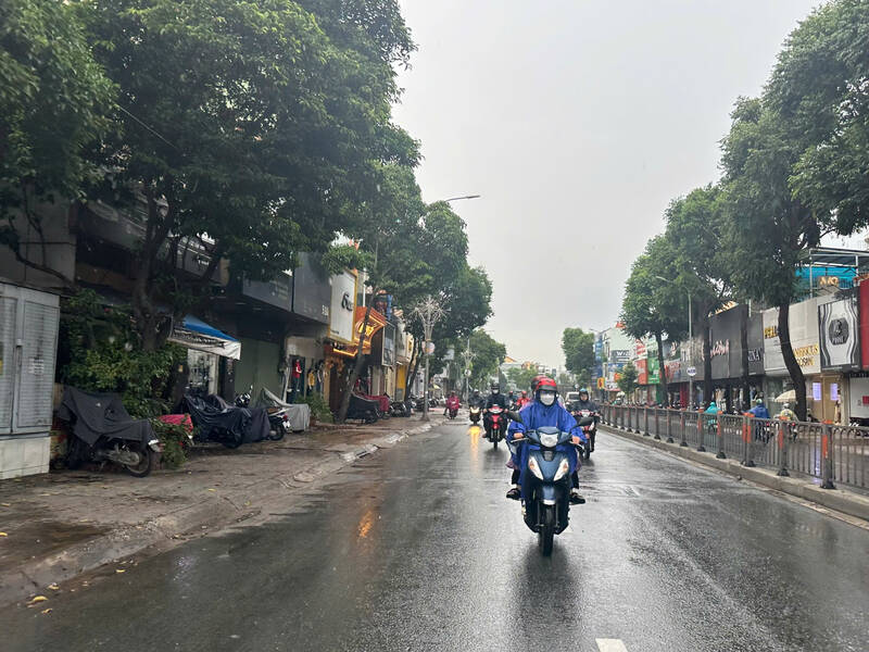
On the afternoon of June 7, monitoring satellite cloud images, weather radar images, and lightning positioning showed that thunderstorms were developing, causing showers and thunderstorms in the Southern provinces such as Tra Vinh, Ben Tre, Ho Chi Minh City, Binh Duong, Long An, Tay Ninh, etc.
In the next 0-3 hours, thunderstorms will continue to develop and cause showers accompanied by thunderstorms and lightning in the above areas. After that, thunderstorms tend to expand and spread to other neighboring areas.
Rainfall is generally from 12-60 mm, in some places over 80 mm. During thunderstorms, beware of tornadoes, lightning, hail, strong gusts of wind of level 5-8 (8-21m/s), heavy rain causing local flooding.
The thunderstorms are caused by a low trough with a Northwest - Southeast axis through the Central and Central East Sea combined with the mid-intensity southwest monsoon.
In the coming days, the Southern region will have moderate to heavy rain. Total rainfall is generally 50-100 mm, in some places over 100 mm. It is forecasted that from June 9-11, the Southern region will continue to have moderate to heavy rain. Total rainfall is generally 150-300 mm, in some places over 300 mm.