The National Center for Hydro-Meteorological Forecasting has issued a weather trend forecast for May 2025.
Regarding the trend of temperature, the average temperature across the country is more than 0.5 - 1 degrees Celsius compared to the average for many years, particularly in the South Central Highlands and the Southern region is approximately the average of many years of the same period.
The heat in May tends to increase widely in the Northern and Central regions. In the Central Highlands and the South, hot weather will appear locally; in the Southeast, the hot weather will be concentrated in the first half of May, then gradually decrease.
Previously, in April, the North will experience hot weather in the Northwestern provinces, Cao Bang, Lang Son in the period from April 17 to 20 and from April 23 to 24.4; the Central region on April 11 to 12 recorded the first widespread hot weather in the provinces from Nghe An to Quang Ngai.
From April 18 to 25, the hot weather will occur in the provinces from Thanh Hoa to Phu Yen, on April 25, the hot weather will narrow down, only from Da Nang to Khanh Hoa.
The Northern Central Highlands and the South will experience many hot days of the month, with widespread heat mainly concentrated in the Southeast provinces with the highest temperature of the day generally 35 - 37 degrees Celsius.
In the past period, the Da Lat meteorological station (Lam Dong) observed the highest daily temperature value of 30.2 degrees Celsius on April 18, 2025, exceeding the historical value previously observed at 29.9 degrees Celsius in April 2024.
The rainfall trend across the country is generally at a level close to the average of many years. In particular, the Central Central and South Central regions are 10 - 30% lower than the average of many years in the same period.
Cold air appearing in May compresses the low pressure trough in the north, which can cause showers and thunderstorms in the Northern region. The southwest monsoon in the south is likely to operate from around mid-May 2025, causing increased showers and thunderstorms in the Central Highlands and the South.
On a national scale, there is a continued possibility of dangerous weather phenomena such as thunderstorms, tornadoes, lightning, hail and strong gusts of wind.
Previously, in April 2025, there were 2 cold air waves on April 12 and April 28.
In April 2025, the Northern region will have 4 scattered rains and showers. The North Central and Central Central regions will have 3 widespread showers and thunderstorms in some places. The Southern Central Highlands and the South during the month will have many days of scattered showers and thunderstorms. Some stations recorded the highest rainfall of the day and total monthly rainfall exceeding historical values.
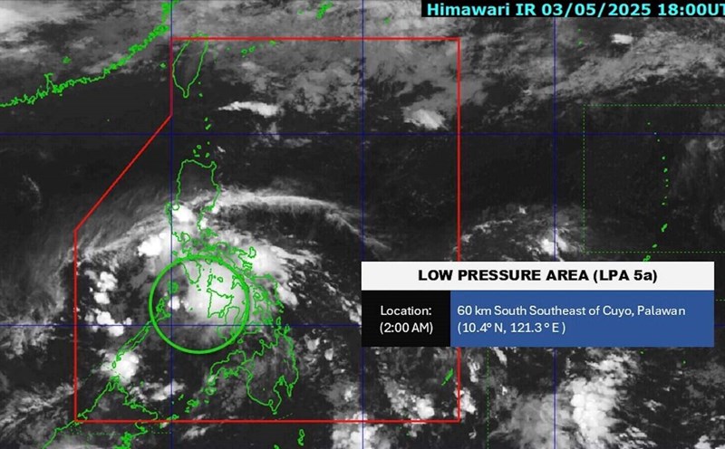
Regarding dangerous weather phenomena at sea, there is a possibility of tropical cyclones appearing in the East Sea in May. According to the average data of many years, there are 0.5 storms/tropical depressions in the East Sea.