According to the National Center for Hydro-Meteorological Forecasting, Con Co monitoring station has strong northeast winds of level 5, sometimes level 6, gusting to level 7; at Ly Son station, there are gusts of level 9.
On the night of October 29 and October 30, the sea area north of the North East Sea will have strong northeast to east winds of level 6, gusting to level 7 - 8, rough seas, waves from 3 - 5m high.
The southern area of the Gulf of Tonkin, the sea area from southern Quang Tri to Ca Mau, Ca Mau to An Giang, the Gulf of Thailand, the northern East Sea and the central East Sea (including the special area of Hoang Sa), the southern East Sea (including the special area of Truong Sa) will have scattered showers and thunderstorms. During thunderstorms, there is a possibility of tornadoes, strong gusts of wind of level 6 - 7 and waves over 2m high.
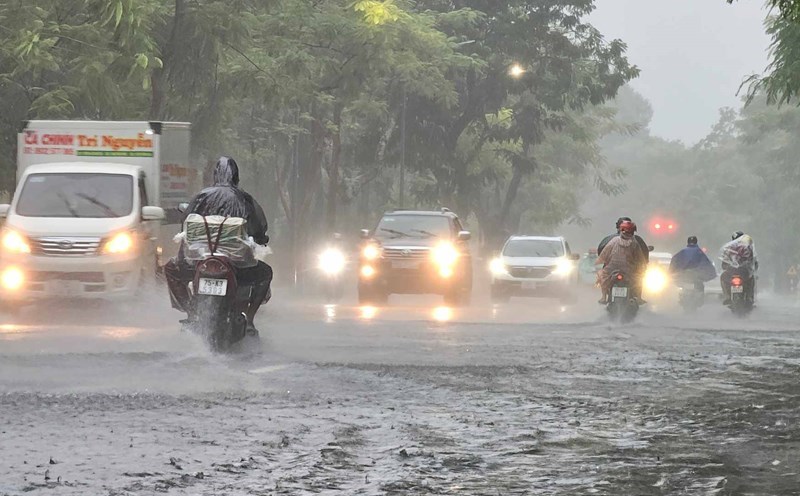
From the night of October 30, the cold air will strengthen and affect the sea weather.
On the night of October 30 and October 31, the northeastern sea area of the North East Sea will have strong northeast winds of level 6, gusting to level 7 - 8, rough seas, waves from 2 - 4m high.
The Gulf of Tonkin area has strong northeast winds of level 5, sometimes level 6, gusting to level 7 - 8, rough seas, waves from 1.5 - 2.5m high.
The risk level of natural disasters at sea is level 2. All ships operating in the above areas are at high risk of being affected by strong winds and large waves.
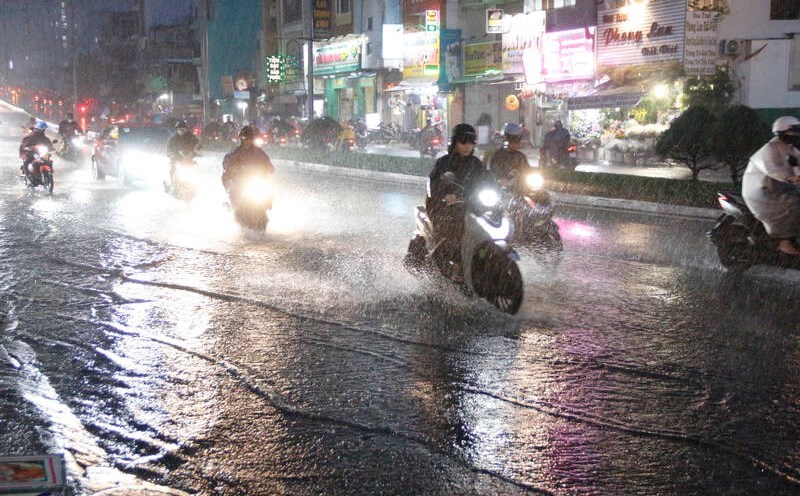
The meteorological agency also said that in the last months of the year, the combined activities of storms, tropical depressions and northeast monsoons often cause strong winds and large waves affecting the activities of ships and boats.