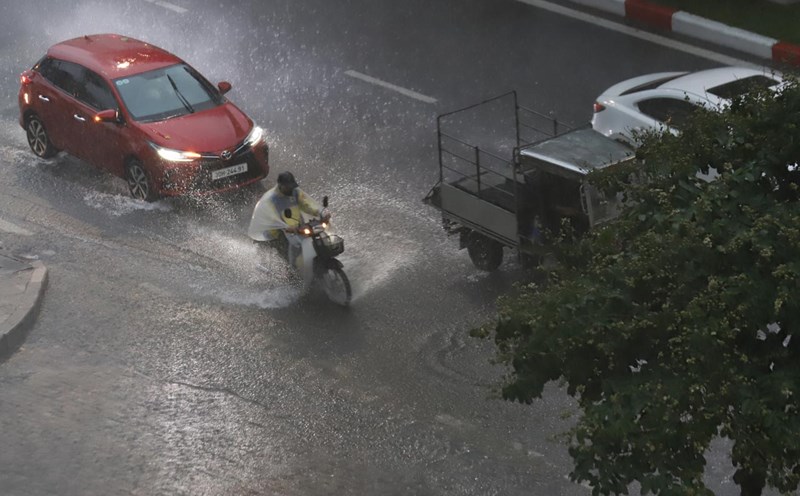
According to the National Center for Hydro-Meteorological Forecasting, last night and this morning (October 11), the area from Quang Tri to Lam Dong had scattered showers and thunderstorms, with some places having heavy rain. Rainfall from 7pm on October 10 to 8am on October 11 was recorded at monitoring stations over 50mm such as: Vinh Kim station (Quang Tri) 84.4mm, Tu Hien Port station (Hue city) 50.1mm, Hoa My Tay station (Dak Lak) 61.6mm,...
The area from Ha Tinh to Lam Dong and the South during the day and night of October 11 is forecast to have scattered showers and thunderstorms with rainfall of 10 - 30mm, locally heavy rain over 80mm. Warning of the risk of heavy rain with rainfall greater than 60mm within 3 hours.
The rainy time in the Central and Southern highlands will be concentrated in the afternoon and evening.
During thunderstorms, there is a possibility of tornadoes, lightning, hail and strong gusts of wind. Localized heavy rains are likely to cause flash floods on small rivers and streams, landslides on steep slopes and flooding in low-lying areas.
Regarding the hydrological situation, the water level in the middle and downstream of the Me Cong River is currently decreasing.
The water level in the Mekong River has peaked and is slowly receding.
The flood peak on the Tien River at Tan Chau station was 3.91m (October 9), 0.09m lower than alert level 2; on the Hau River at Chau Doc station was 3.48m (October 9), 0.02m lower than alert level 2.
The highest water level on October 10 on the Tien River at Tan Chau station was 3.90m, 0.10m lower than alert level 2; on the Hau River at Chau Doc station was 3.47m, 0.03m lower than alert level 2.
The water level in the Mekong River continues to decrease.
The water level on the Tien River at Tan Chau station decreased to 3.93m, 0.07m lower than alert level 2; on the Hau River at Chau Doc station decreased to alert level 2 by 3.5m; at downstream stations of the Mekong River, it dropped to alert level 2 to alert level 3.
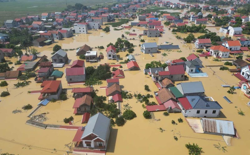
There is a high risk of flooding in low-lying areas, riverside areas, areas outside dykes in An Giang province and low-lying areas, riverside areas in Dong Thap, Can Tho, Vinh Long provinces. It is necessary to be on guard against landslides on embankments and weak dykes in flooded areas.
The warning level of natural disaster risk due to floods is level 1. Floods on rivers cause flooding in low-lying areas along rivers, affecting activities such as waterway transportation, aquaculture, agricultural production, people's lives and socio-economic activities.