Data from the National Center for Hydro-Meteorological Forecasting shows that this morning, October 23, the temperature of Mau Son mountain peak (Lang Son) dropped to the lowest in the North, still at 9 degrees Celsius. Some places recorded low temperatures below 15 degrees Celsius such as Sin Ho (Lai Chau), Sa Pa (Lao Cai), Dong Van (Tuyen Quang), Tam Dao (Phu Tho), Moc Chau (Son La).
The Northern Delta this morning was generally below 20 degrees Celsius. In Hanoi, the monitoring point recorded the lowest temperature of about 18 degrees Celsius.
During the day and tonight, Hanoi is forecast to have occasional rain, the lowest temperature is about 18 - 21 degrees Celsius. The highest temperature is about 21 - 23 degrees Celsius. The early morning and night are cold, the day is cold.
The meteorological agency forecasts that due to the impact of cold air, the Northern region and Thanh Hoa will have cold mornings and nights, and some mountainous areas will be cold. The lowest temperature in the plains and Thanh Hoa is from 19 - 22 degrees Celsius; the midlands and mountainous areas are from 17 - 19 degrees Celsius; the high mountainous areas have places below 16 degrees Celsius.
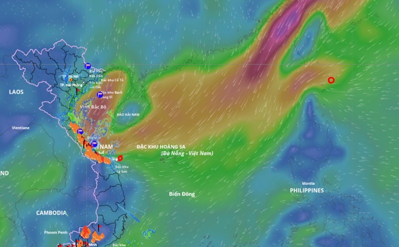
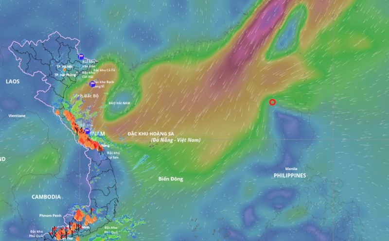
Due to the influence of the strengthening cold air combined with the disturbance of the easterly wind and the circulation after the storm, the situation of heavy rain in the Central region and strong winds at sea is still complicated.
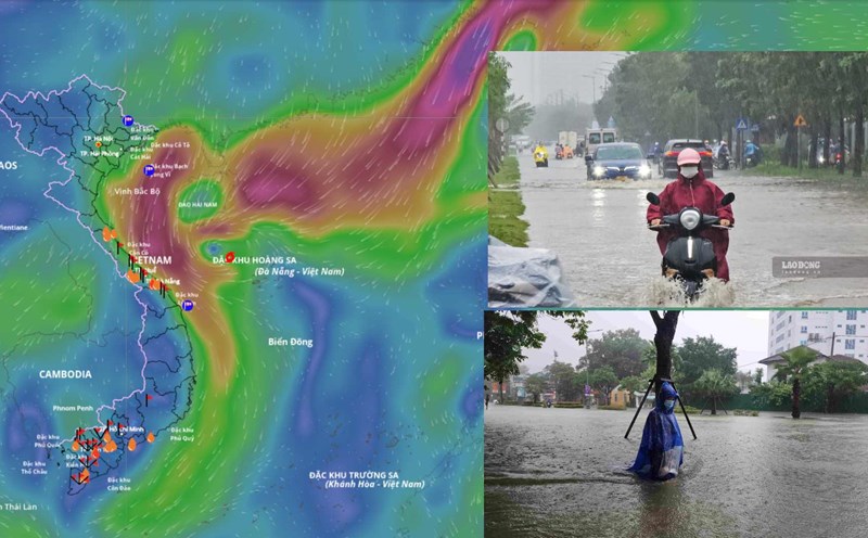
From the morning of October 23 to the night of October 24, the area from Ha Tinh to Quang Ngai will have heavy rain and thunderstorms with common rainfall of 100 - 200mm, locally very heavy rain over 300mm. In particular, the area from South Quang Tri to Da Nang will have heavy to very heavy rain with common rainfall of 200 - 350mm, locally over 700mm. Warning of the risk of heavy rain over 150mm in 3 hours.
Lam Dong and the South during the day and night of October 23 are forecast to have scattered showers and thunderstorms with rainfall of 15 - 30mm, locally heavy rain over 80mm. During thunderstorms, there is a possibility of tornadoes, lightning, hail and strong gusts of wind. Warning of the risk of heavy rain over 60mm in 3 hours.
In the next 48-72 hours, the area from Ha Tinh to Quang Ngai will have moderate rain, heavy rain and thunderstorms, locally very heavy rain with common rainfall of 40 - 80mm, locally over 150mm. Heavy rain in this area is likely to last until the end of October 2025.
The warning level of natural disaster risk due to heavy rain, tornadoes, lightning, and hail is level 1; the area from South Quang Tri to Da Nang is level 2.
Heavy rain is likely to cause flooding in low-lying areas, urban areas, industrial parks; flash floods on small rivers and streams; landslides on steep slopes.