
Dozens of hectares of land "swallowed" by the river
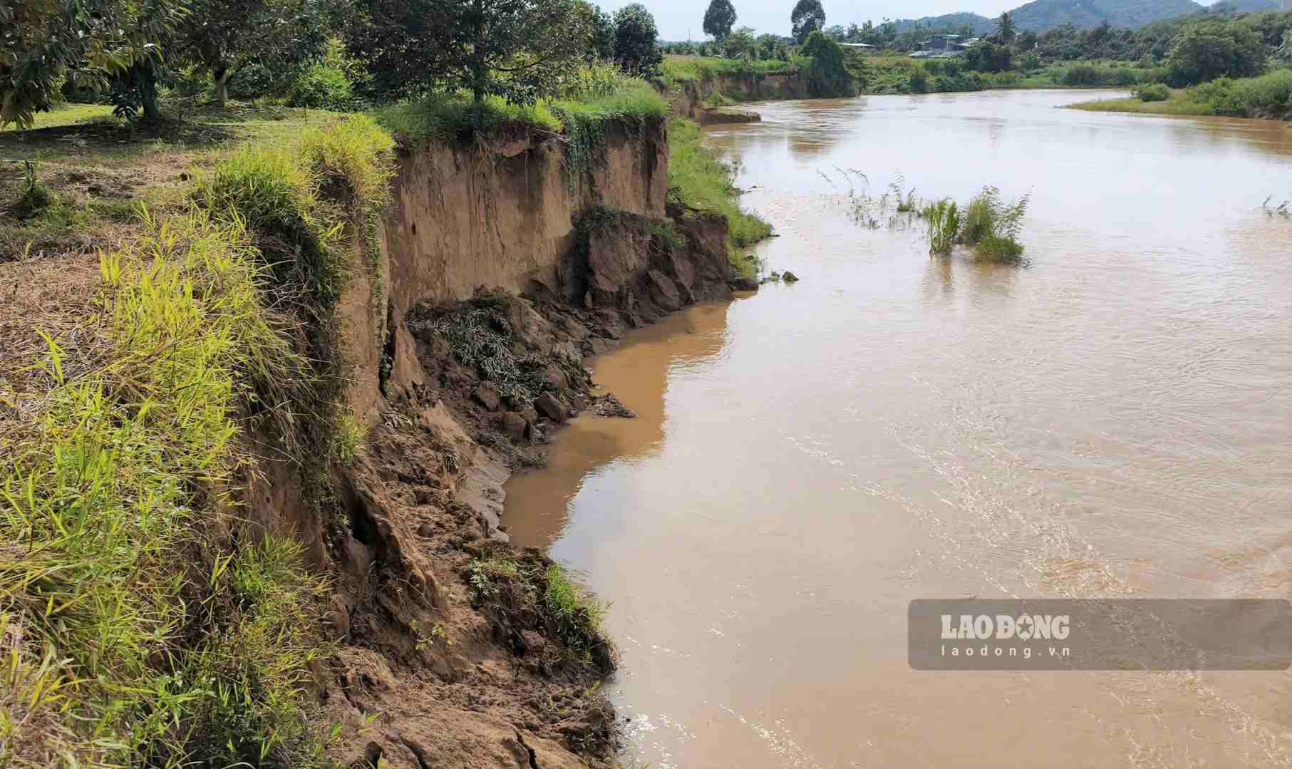
In the last days of July, the water of the Da Quay River became muddy after many heavy rains. Along the riverbank, many landslide points appeared, forming soil cliffs from 5-10m high.
Many durian, grapefruit, and mulberry trees in the harvesting season were uprooted, drifted into the river or exposed roots, with the risk of collapsing at any time.
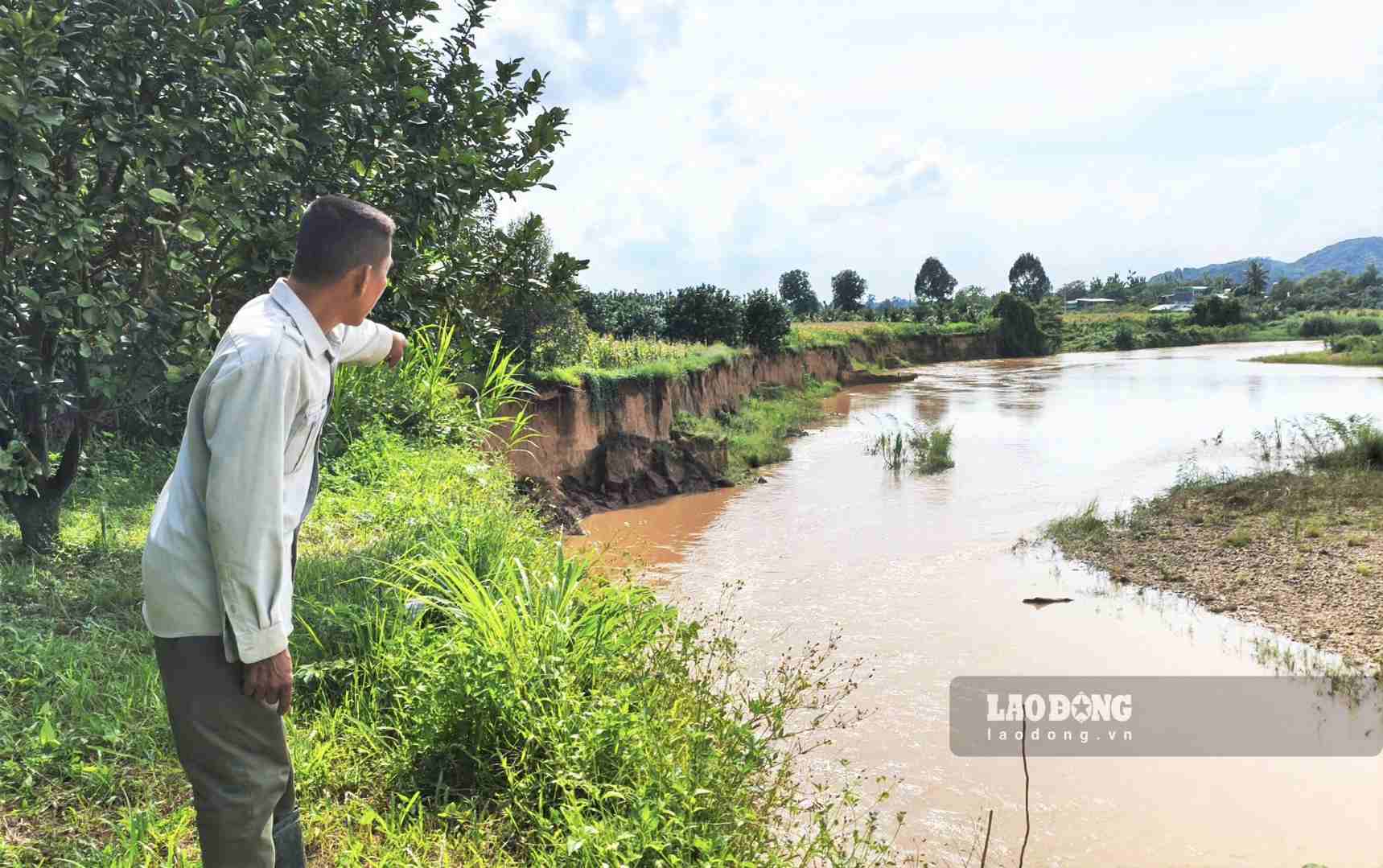
According to records, the landslide area along the Da Quay riverbank stretches about 5km. After each rainy season, the flow continues to dig deep into the banks, sweeping away production land and threatening people's property.
Mr. Le Hong Khanh - Village Head of Village 19 - said that the whole village has 84 households with more than 240 people, mainly living by riverside agricultural production. Since the village was established, more than 20ha of land has been eroded and swept away. Currently, about 30 households are directly affected, losing from 500-2,000m2 of cultivated land each year. Many households have to relocate their houses, while the village cemetery is only about 20m away from the edge of the erosion.
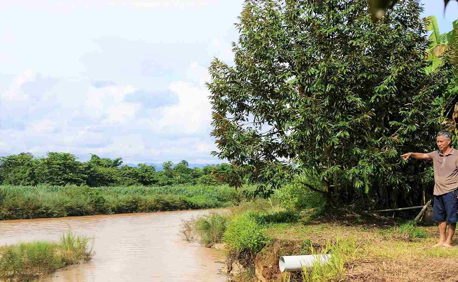
Ms. Tran Thi Vu's family is one of the households heavily damaged. Nearly 3,000m2 of land and dozens of durian trees that were being harvested were swept away by water.
The riverbank has penetrated deep into the garden in just a few years. Every time it rains heavily, the whole family is worried that the soil will continue to collapse. If we don't build a dyke soon, the remaining soil will be difficult to retain," Ms. Vu shared.
Similarly, Mr. Lu Van Tan said that from 2019 to now, his family has lost about 5,000m2 of land for growing grapefruit and durian.
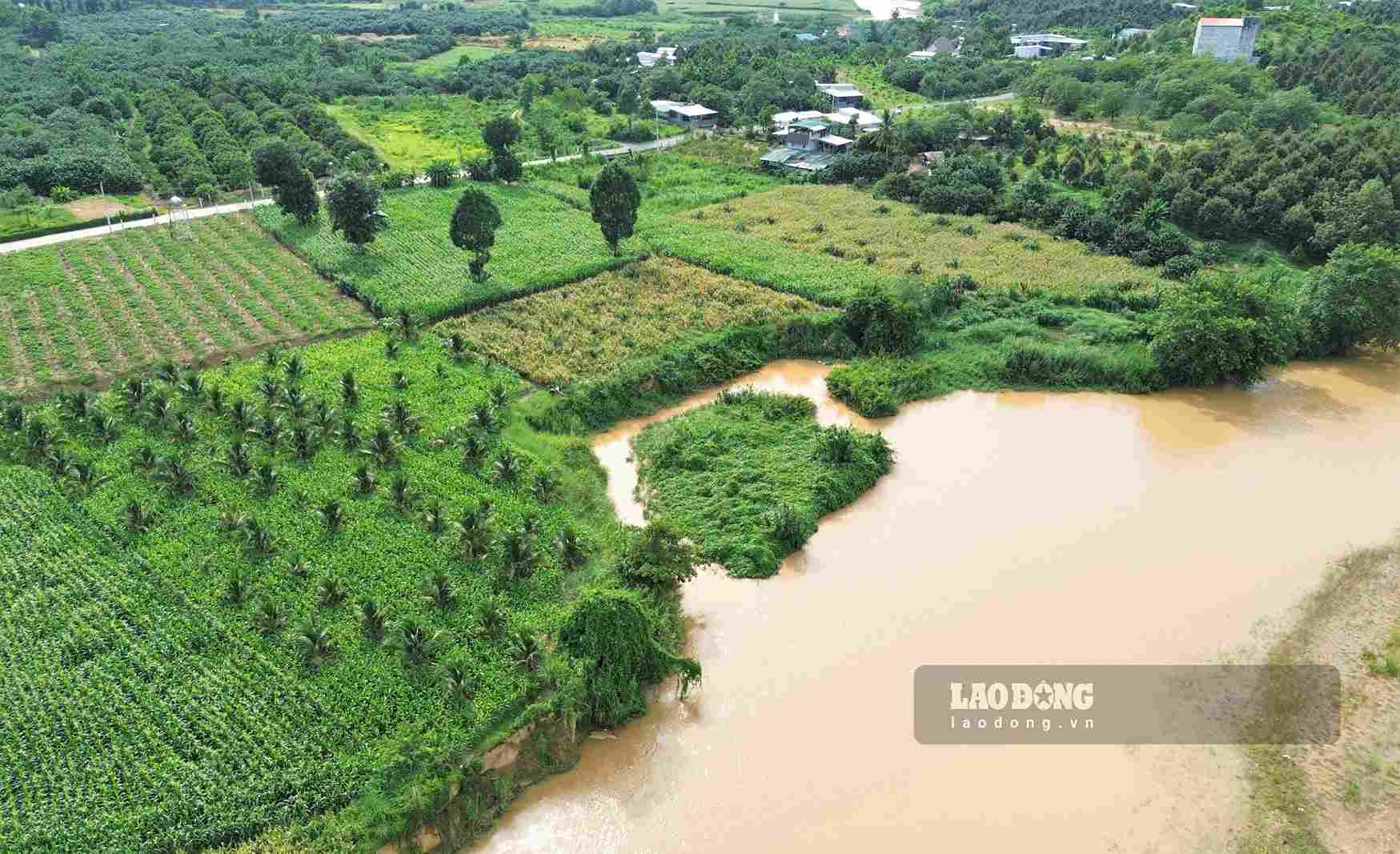
Fearing unsafety, the family had to move to Nam Cat Tien commune but still returned to take care of the remaining land.
Concerns that sand mining will cause more serious landslides
In addition to the impact of natural disasters and currents, many people are concerned that sand mining activities on rivers may make the landslide situation more complicated.
According to reports, at the end of June, a unit brought excavators and sand dredgers to the riverside alluvial ground area for exploitation.
People protested and reported to the authorities because they were worried about the impact on the riverbank and production land.
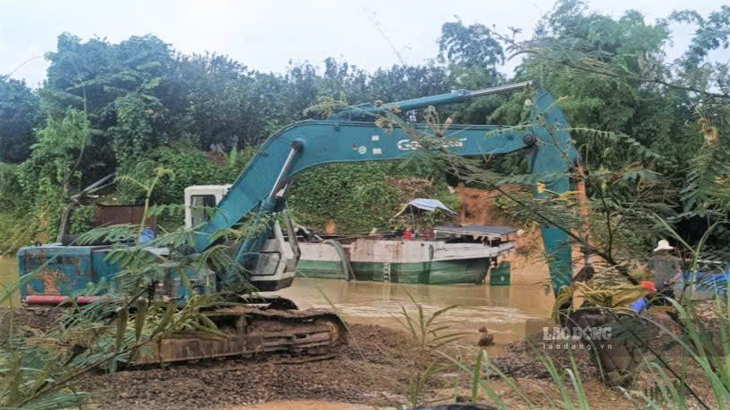
Through inspection, functional forces discovered two excavators and two boats of Phu Xuan Industrial Cooperative anchored on the riverbed, showing signs of mining sand and gravel. At the time of inspection, there were no vehicle drivers.
The verification results showed that the location of the incident belonged to the administrative boundaries of Nam Cat Tien commune (Dong Nai city). Currently, Nam Cat Tien Commune Police have temporarily seized the vehicles for investigation and handling according to regulations.
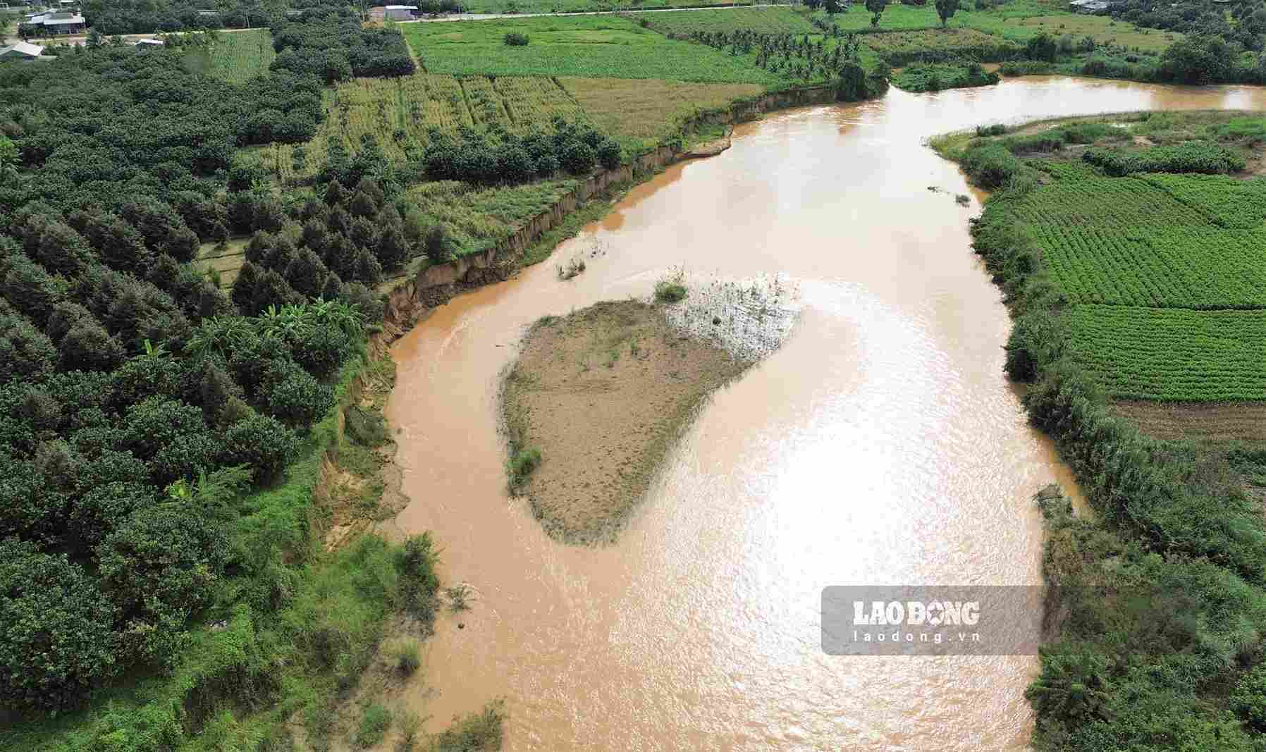
According to Ms. Nguyen Thi Que - Head of the Economic Department of Da Teh 2 commune, the landslide situation in the area has lasted for many years and has become more serious since around 2014, mainly due to the impact of natural flow.
The locality has repeatedly proposed to invest in landslide prevention embankments, but so far no funding has been allocated.
Mr. Phung Minh Duc - Chairman of Da Teh 2 Commune People's Committee - said: The locality has coordinated with Nam Cat Tien commune to inspect the scene, handle reflections related to sand mining activities, and at the same time report to the Provincial People's Committee to consider long-term solutions.
People and local authorities hope that functional agencies will soon invest in embankment projects to prevent landslides; and at the same time fully assess the impact of sand mining activities on the flow to protect production land.
From there, helping people stabilize their lives and ensure safety for Mo Vet bridge and riverside infrastructure works.


