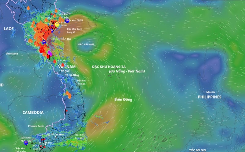
According to the National Center for Hydro-Meteorological Forecasting, currently, the tropical convergence zone has an axis through the central East Sea connecting with the low pressure area. At 7:00 a.m. on September 15, the low pressure area was located at about 11.5 - 12.5 degrees north latitude; 118 - 119 degrees east longitude.
The eastern sea area of the central and southern East Sea (including the eastern sea area of Truong Sa) will have showers and thunderstorms.
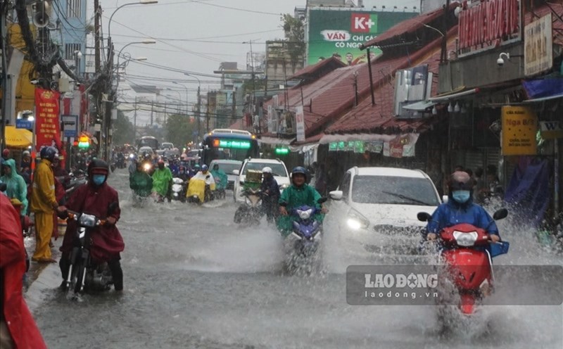
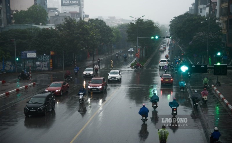
It is forecasted that during the day and night of September 15, coastal waters from Quang Ninh to Ninh Binh, waters from Khanh Hoa to Ca Mau, Ca Mau to An Giang, the Gulf of Thailand, the central and southern East Sea (including the Truong Sa special zone) will have scattered showers and thunderstorms.
During thunderstorms, there is a possibility of tornadoes, strong gusts of wind of level 6 - 7 and waves over 2m high. All ships operating in the above areas will be at risk of being affected by tornadoes and strong gusts of wind.
It is forecasted that from now until October 10, 2025, storms and tropical depressions active in the East Sea and affecting our country are likely to be at a level similar to the average of many years.
According to the average data of many years, in the East Sea during this period, there will be about 2.2 storms or tropical depressions, 1.1 of which will make landfall in Vietnam. Note that there will be storms and tropical depressions appearing right in the East Sea area.
Previously, from August 11 to September 10, there were 3 storms and 1 tropical depression in the East Sea.