According to Ho Chi Minh City planning for 2021 - 2030, with a vision to 2050, Hoc Mon district, along with four other districts, will develop a new type of satellite city, contributing to reducing population and transportation for inner city areas. .
After 2030, Ho Chi Minh City will deploy a multi -central city model, of which Hoc Mon and Cu Chi formed the Northern city under Ho Chi Minh City.
Hoc Mon district is planned to become a training center, trade - service, logistics, high -tech industry, ecological and organic agriculture.
By 2030, this locality must complete infrastructure, improve the quality of life, towards meeting the criteria of grade III urban, as a foundation to become a part of the northern urban area of Ho Chi Minh City.
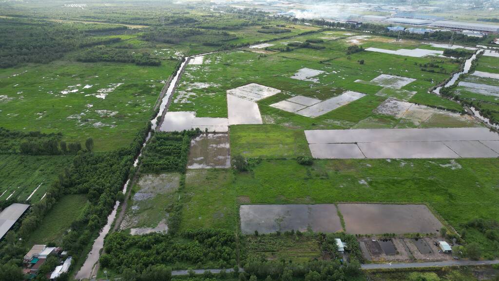
Urban space will form new central areas in the delivered area between Highway 22 and Ring 3, Vam Thuat River and Saigon River. Agricultural land fund is still high in the district will be exploited for urban development, combining cultural parks and service projects.
The west of the district will prioritize the development of logistics industries, training, production - business according to the green model, limiting environmental pollution. The existing residential areas will also be renovated and embellished.
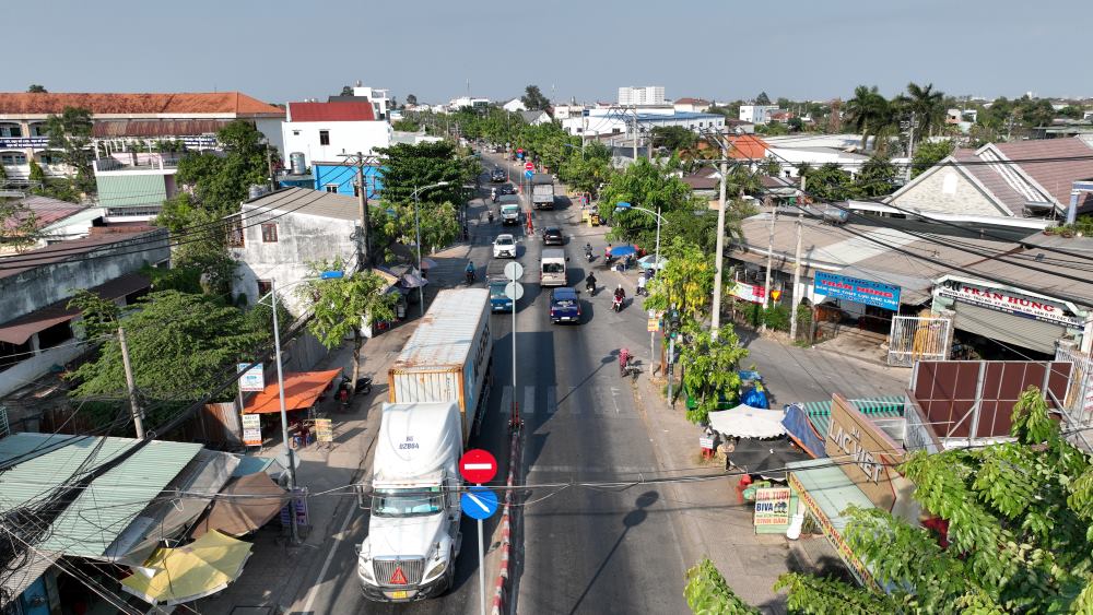
In order to realize the goal of urban development, a series of key infrastructure projects are and will be implemented in Hoc Mon.
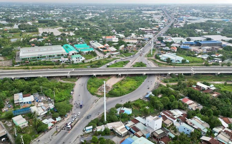
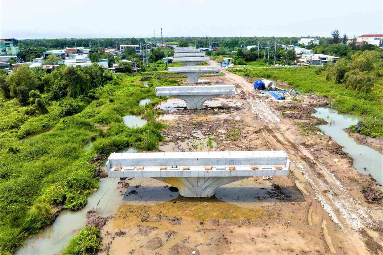
Belt 3 in Ho Chi Minh City passed Hoc Mon district with a length of more than 11 km, expected to be completed on June 30, 2026.
Highway 22, the section from An Suong intersection (District 12) to Ring 3 (Hoc Mon District), 8.7 km long will be expanded to 60 m with 10 lanes, building overpasses at intersections. The total estimated investment of VND 8,400 billion.
Nguyen Van Bua Street, 6.9 km long from Highway 22 to Long An province, will be upgraded to 4-6 lanes.
Building a new route, Phan Van Hon, 8.5 km long, 30 m wide, connected from Highway 1 to Ring 3 Ho Chi Minh City.
Provincial Road 15, the section from Ring 2 to Ben Bo Bridge (41 km long), will be expanded to 4-8 lanes.
In addition, Ho Chi Minh City also planned the 78.2 km long route along the Saigon River, extending from the border of Tay Ninh to the Ben Luc - Long Thanh highway (Can Gio district). This route not only opens the direction of new urban development but also creates a highlight of the river landscape, promoting tourism and commercial services.
Hoc Mon district in the future will have 4 Metro lines passing, helping to connect conveniently with other areas of Ho Chi Minh City, including: Metro No. 2 (Thu Thiem - Depot Binh My, 62.2 km long); Metro No. 4 (Dong Thanh - Hiep Phuoc Urban Area, 47.3 km long); Metro No. 8 (Da Phuoc - Binh My, 42.8 km long); Metro No. 11 (riverside route connecting Binh Tan district with Cu Chi, 48.7 km long).
In addition to large projects, Hoc Mon district will also upgrade the internal transport system, connect administrative areas, residential areas and commercial centers to create favorable conditions for people to move and develop. economy.
Hoc Mon also has the potential to develop waterway transport, with a system of rivers and canals. Ho Chi Minh City is planning to build a yacht port on the Saigon River, upgrading An Suong Bus Station into a big bus station of the city and building Xuyen A Bus Station. At the same time, Hoc Mon Immune Port Project is also being called for investment to support logistics.