The latest hurricane report from USA Today said the US National Hurricane Center is monitoring two low pressure troughs - areas that could potentially lead to the formation of tropical storms.
The first low pressure trough is located near the 16th parallel west, south of the 17th parallel north and is moving west at a speed of 10 to 15 knots. Scattered convective activity at medium and locally strong levels was recorded in the area from 10 to 12 degrees North, east of the continental drift at 19 degrees West.
The second low pressure trough is located near the 77th parallel west, south of the 17th parallel north, moving west at a speed of 15 to 20 knots. Related convective activities are mainly concentrated in South America and the eastern part of the northern Pacific, off the coast of Colombia.
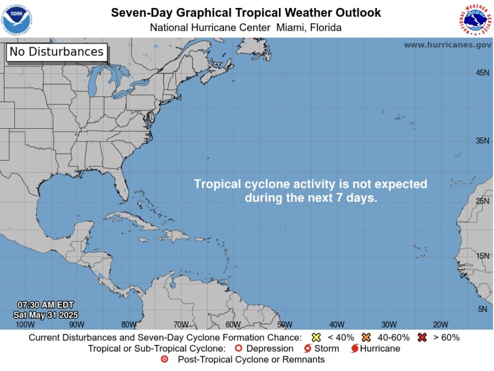
However, in its latest hurricane forecast, the US National Hurricane Center expects no tropical storm activity to occur in the next 7 days.
AccuWeather forecasters said the tropical depression and storm could emerge in the second week of June from a low pressure "moving slowly from the western Caribbean and southern Gulf of Mexico at the same time as a moisture is likely to develop."
AccuWeather tropical meteorologist Alex Duffus notes that there are many favorable conditions for the storm to form.
The Atlantic basin includes the northern Atlantic, Caribbean Sea and Gulf of Mexico.
The National Oceanic and Atmospheric Administration (NOAA) predicts a 60% chance of a more intense than normal 2025 Atlantic hurricane season, a 30% chance of a near-normal hurricane season, and a 10% chance of a lower than normal one.
NOAA forecasters predict that this year's hurricane season will have 13 to 19 named storms, 6 to 10 of which are hurricanes, and 3 to 5 of which are major to super typhoons. A major storm is counted as a Category 3 or higher storm, with maximum sustained winds of at least 178 km/h.
The low pressure trough in the Atlantic often moves westward across the tropics. According to the National Weather Service, low pressure troughs can strengthen into tropical depressions and tropical storms under suitable conditions. AccuWeather senior weather forecaster Dan Kottlowski said that 85% of tropical cyclones could originate from the trough.
"If it survives its westward journey, the trough will find warmer ocean waters and humder air as it approaches the Lesser Antilles, an island group in the Caribbean Sea," AccuWeather pointed out.
The Atlantic hurricane season began on June 1 and ends on November 30. NOAA says 97% of storms occur during this period and that storms may still form before and after those days.


