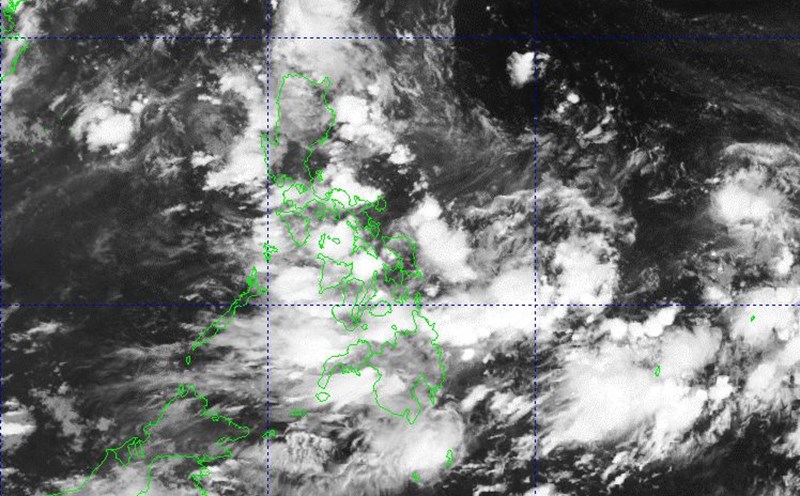
The Philippine Atmospheric, Geophysical and Astronomical Services Administration said that the low pressure area being monitored east of the Philippines officially entered the Philippine Forecast Area (PAR) on the evening of June 29.
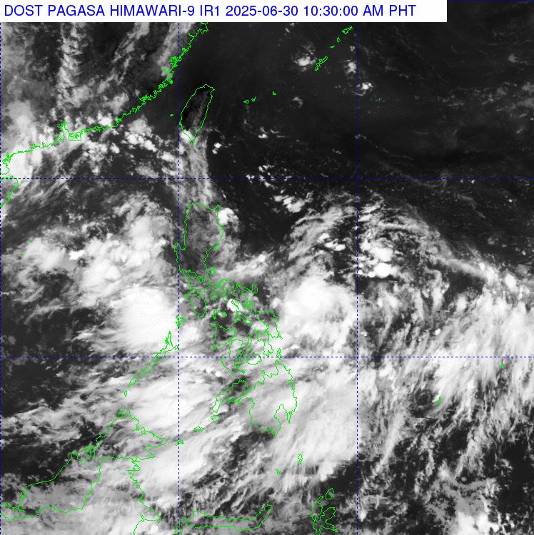
At 8:00 a.m. on June 30, the center of the 06:00 low pressure was at about 15.5 degrees north latitude, 132.6 degrees east longitude, 1,125 km east of Central Luzon. PAGASA said that in the next 24 hours, the possibility of the low pressure developing into a tropical depression is low and there are no signs of making landfall.
However, the trough connecting to the system will bring rain to Aurora, Quezon, Bicol and Eastern Visayas on June 30. At the same time, the southwest monsoon will continue to affect the rest of Central and Southern Luzon, Visayas, Metro Manila and Mindanao.
According to the latest storm news, the low pressure is expected to continue moving slowly and consolidate its structure as it is still east of Luzon in the next few days, before changing direction to the northeast over the weekend. If it strengthens into a tropical storm while still in the PAR region, the system will be named Bising.
While it will not directly affect the Philippine mainland, this potential storm could intensify the southwest monsoon, causing more rain in some western areas of the country. PAGASA recommends that people continue to monitor weather forecasts to update the latest developments.
Meanwhile, in Vietnam, the dense convective cloud pockets developing in the Northern region are tending to expand, in addition to forming low-pressure areas converging to a level of 3,000-5,000m, causing heavy rain in the Northern provinces, heavy to very heavy rain on June 30. The Vietnam National Center for Hydro-Meteorological Forecasting said that the rainfall from 7pm on June 29 to 8am on June 30 in the North was over 100mm in some places.
Forecast of heavy rain in the next 24-48 hours (from the morning of June 30 to the morning of July 2): The North will have moderate rain, heavy rain, and some places will have very heavy rain. The common rainfall is 70-150mm, locally over 300mm. Warning of the risk of heavy rain >100mm/3 hours
Warning, from noon on July 2 to the morning of July 3, the North will continue to have moderate rain, heavy rain, and very heavy rain in some places. The common rainfall was 30-60mm, locally over 150mm.
From noon on July 3, heavy rain will gradually decrease.
Note, thunderstorms are likely to cause tornadoes, lightning, hail and strong gusts of wind.
Warning level 1 natural disaster risk due to heavy rain.
Heavy rain can cause flooding in low-lying areas, urban areas, industrial parks; flash floods in small rivers and streams; landslides in steep mountainous areas.