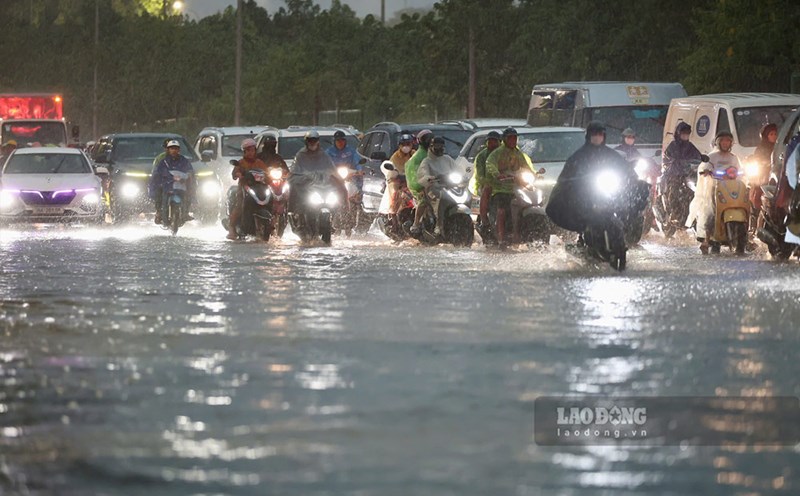
According to Xinhua News Agency, Typhoon Saudel, the 18th storm this year, has made landfall on the coast of Zhejiang province, eastern China, with the strongest wind near the center reaching 35 m/s, equivalent to about 126 km/h, level 12.
According to the Zhejiang Provincial Meteorological Station, Typhoon Saudel made landfall in the coastal area of Yuhuan city, a provincial-level city in Taizhou, at about 8:05 am on August 28 (local time).
Before the storm made landfall, the Zhejiang provincial government raised the emergency response level for storms to level I, the highest level, from 8 pm on August 27.
Response measures are being implemented to ensure that there are no more people, ships or activities at sea when the storm enters.
Typhoon Saudel caused strong winds and heavy rain in many coastal areas of Zhejiang province. Images released by Xinhua show flooding on a road in Long Loan district, Wenzhou city, when the storm made landfall.
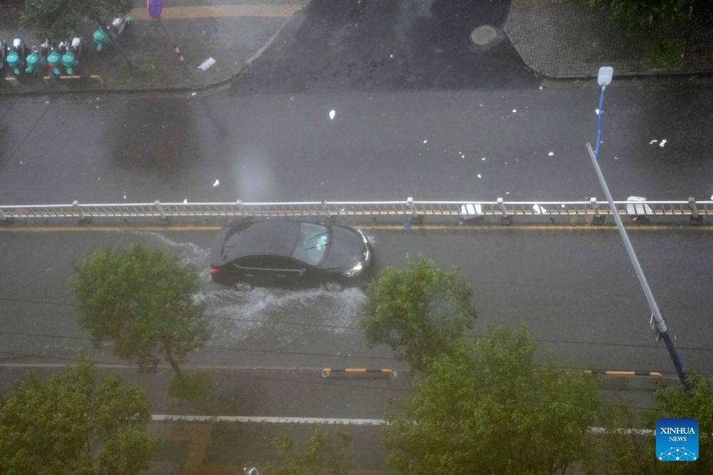
Strong winds also caused damage in some areas. In Long Loan district, a railing was knocked down by strong winds when Typhoon Saudel affected the locality.
Saudel's landfall in Zhejiang province took place after the storm maintained its strong intensity in the sea off the east coast of China. The Zhejiang coastal area was placed in the highest response status to limit damage caused by strong winds, heavy rain and sea waves.
According to China's natural disaster response regulations, level I is the highest level of emergency response, applied when natural disasters are forecast to potentially cause serious impacts.
Coastal localities in Zhejiang province have implemented many storm prevention measures, including requiring ships to leave dangerous sea areas and limiting activities at sea.
After landing, Saudel will continue to be closely monitored when moving inland. The Chinese meteorological agency warns people in affected areas to continue to be wary of strong winds, heavy rain and the risk of flooding.