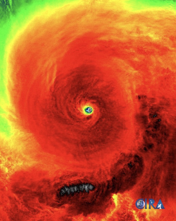
The latest storm information from the Philippine weather agency PAGASA at 5:00 a.m. on November 15 said that Typhoon Man-yi (local name Pepito) is strengthening to near typhoon level. This storm near the East Sea will continue to strengthen as it moves over the Philippine Sea.
At 4:00 a.m. on the same day, Typhoon Man-yi was 795 km east of Guiuan, Eastern Samar, Philippines. Maximum sustained winds near the center of the storm were up to 110 km/h, with gusts of up to 135 km/h. Typhoon Man-yi was moving west at a speed of 25 km/h. At 11:00 p.m. on November 14, Man-yi entered the Philippine PAR forecast area and was given the local name Pepito.
Typhoon forecasters in the Philippines said that due to high pressure south of Japan, Man-yi will move westward in the next 12 hours before turning west-northwest to northwest over the Philippine Sea. Man-yi is forecast to make landfall on the east coast of Central and/or Southern Luzon later this week.
Typhoon Man-yi is forecast to enter the East Sea in the afternoon or evening of November 18, becoming the ninth typhoon in the East Sea.

PAGASA stated that Typhoon Man-yi is forecast to strengthen into a typhoon in the next 12 hours and could reach super typhoon status by the evening of November 16. The storm is likely to make landfall in the Philippines at maximum intensity.
Typhoon Man-yi is likely to cause extremely severe weather conditions in the coastal areas of Southern Luzon and Central Luzon until November 17 before making a second landfall in the eastern part of Central or Southern Luzon.
Typhoon Man-yi is forecast to weaken from November 17 as it moves across mainland Luzon until it leaves the PAR region.
If it strengthens into a super typhoon, Man-yi will become the second super typhoon to hit the Philippines in a week. Previously, on November 14, Typhoon Usagi (local name Olef) hit the Philippines as a super typhoon.
Typhoon Man-yi formed east of Guam and appears to be a more serious threat to the Philippines than Super Typhoon Usagi, as it is expected to affect more populated areas than Usagi, according to the latest typhoon report from the Washington Post.
Typhoon Man-yi is forecast to gradually strengthen until November 15 as it moves over warm ocean waters. From November 15 through the weekend, weather conditions are favorable for the storm near the Philippines to intensify violently, with winds of up to 212 km/h, equivalent to a Category 4 hurricane in the Atlantic.
American hurricane forecasters point out that the continuous storms in the western Pacific Ocean are due to the sea water temperature being several degrees Celsius higher than average.
The Philippines is expected to be hit by 13 tropical storms or typhoons during the 2024 typhoon season. The archipelago is particularly vulnerable to typhoons and the impacts of human-caused climate change.
An unusual series of storms has been occurring near the Philippines in recent weeks, following one another since Typhoon Trami in late October.
Before Typhoons Usagi and Man-yi, Typhoon Toraji made landfall in the Philippines over the weekend. Typhoon Toraji struck the northern Philippines just as Typhoon Trami was hitting the region. Between Trami and Toraji, the Philippines was also hit by Typhoon Yinxing, which passed close to the north, and Typhoon Kong-rey, which passed just offshore to the northeast of the country.


