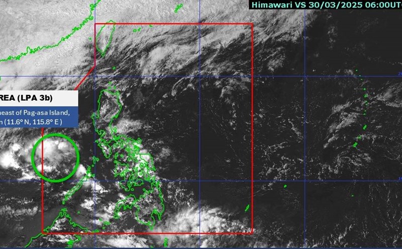
The weather forecast bulletin of the Philippine Atmospheric, Geophysical and Astronomical Services Administration (PAGASA) said that during the week of April 21-27, 2025, no low pressure or storm is expected in the forecast area (PAR) of this country or in the East Sea area.

However, during the week of April 28 to May 4, 2025, a low pressure is expected to appear inside the PAR area. The low pressure is unlikely to strengthen into a storm.

According to PAGASA, the May typhoon forecast shows the two most common formations. First, the storm will form in the West Pacific, possibly entering the Philippine PAR forecast area, but changing direction before making landfall.
The other is a storm that formed in the West Pacific, entered PAR, made landfall in the central Philippines, then changed course and moved out of PAR.

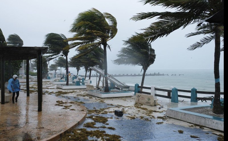
AccuWeather has also just announced a hurricane forecast for the 2025 Atlantic hurricane season, which could see 13 to 18 named storms appear, all of which are likely to directly affect the United States. Named storms are those with winds of 63 km/h or higher, meaning their level of danger has been determined from the early stages.
That's above the average of 14.4 typhoons per year, according to data from 1991 to 2020 released by Colorado State University (CSU) in early April. The main reason is that sea surface temperatures are higher than normal.
However, this year's hurricane season may not be as intense as 2024, the deadliest since the 2005 Hurricane Katrina, with 18 named storms and huge damage.