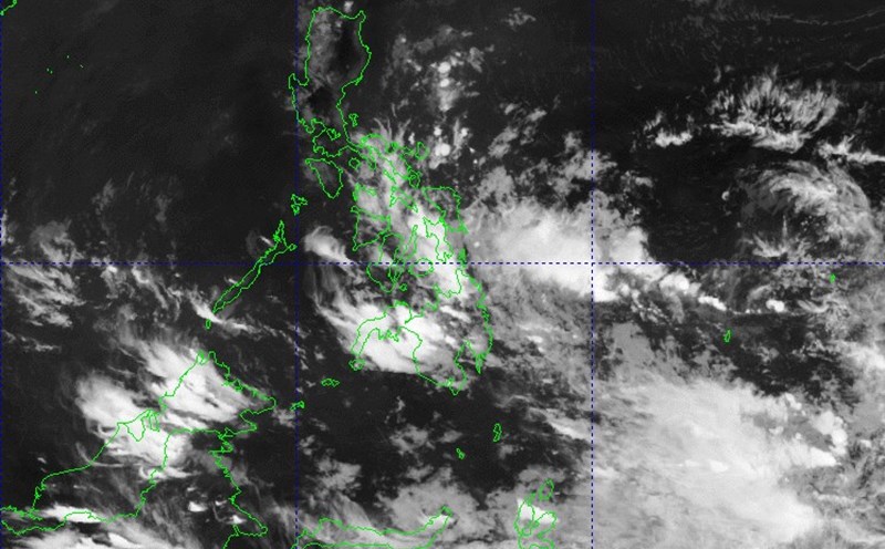
The Philippine Atmospheric, Geophysical and Astronomical Services Administration (PAGASA) said that at 2:00 p.m. on March 30, low pressure 3b being monitored in the Philippine Forecast Area (PAR) is unlikely to strengthen into a tropical depression in the next 24 hours.
At 3:00 p.m. on March 30, the center of the low pressure was located at about 11.5 degrees north latitude, 115.6 degrees east longitude, 150 km east-northeast of Pagasa, Kalayaan, Palawan islands.
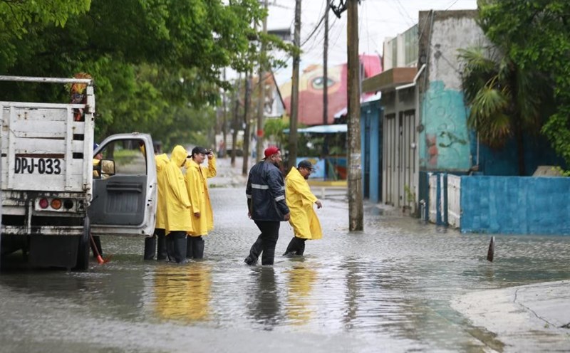
PAGASA's weather bulletin states that due to the influence of the low pressure, Palawan will have cloudy skies with scattered showers and thunderstorms, beware of the possibility of flash floods or landslides due to localized moderate to heavy rain.
Eastern Visayas, Bicol, Quezon, Sarangani, Sultan Kudarat, Dinagat Islands, Surigao del Norte and Davao del Sur will experience cloudy skies with scattered showers and thunderstorms. There is a possibility of flash floods or landslides due to moderate to heavy rain locally due to the influence of winter winds.
The northern Luzon sea area has just had strong northeast winds. Waves are 2.5-4m high.
The remaining sea areas will have moderate and light winds from the east to the northeast. The sea is rough to moderate, with waves 0.6-2.5m high.
According to the US Joint Typhoon Warning Center (JTWC), the above low pressure area (97W as called by JTWC) is located near Truong Sa archipelago in the East Sea, northwest of Palawan, Philippines.
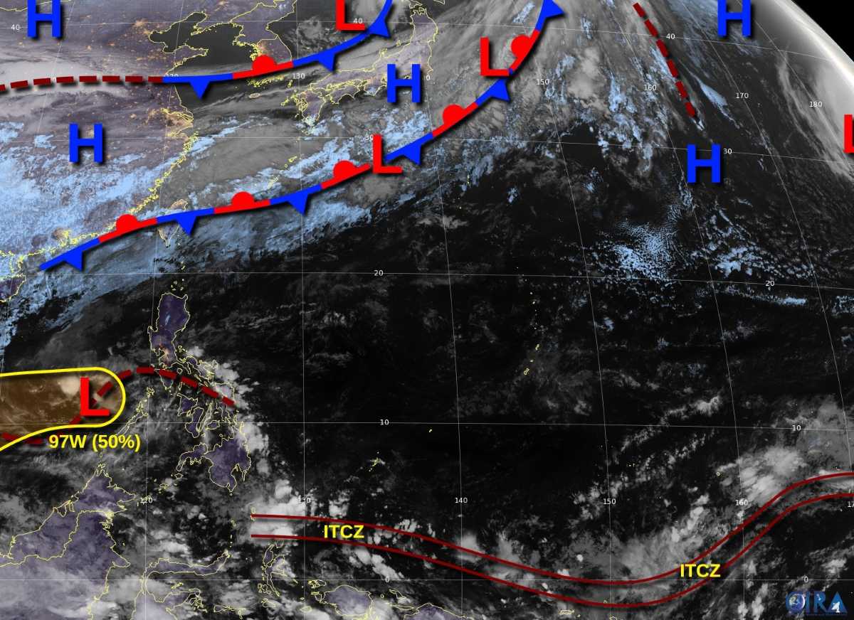
Although the low pressure has little cause of showers, it has formed a clear traffic center. Environmental conditions only supported development to a limited extent due to weak wind shear but the sea temperature was relatively cool.
The low pressure is expected to gradually develop as it moves west-southwest in the coming days. It is likely to become a tropical depression when it crosses the Malay Peninsula and exits the West Pacific basin by mid-next week.
On the afternoon of March 30, the Vietnam National Center for Hydro-Meteorological Forecasting said that in the Gulf of Tonkin, there were strong northeast winds of level 6-7, gusting to level 8-9; Ly Son Island had strong winds of level 6, gusting to level 7.
Forecast of developments in the next 24 hours:
Gulf of Tonkin: Strong northeast wind level 6, gust level 7-8, rough seas. From March 31, the wind will gradually decrease, with waves 1.5-2.5m high.
North East Sea (including Hoang Sa): Strong northeast wind level 6, gust level 7-8, rough seas, waves 3-5m high.
The western sea area between the East Sea and the sea area from Quang Tri to Binh Thuan: strong northeast winds of level 5, sometimes level 6, gusting to level 7-8, rough seas, waves 2-3.5m high.
On the night of March 30 and March 31, the area between the East Sea and the sea from Binh Dinh to Ninh Thuan will have showers and thunderstorms. During thunderstorms, there is a possibility of tornadoes and strong gusts of wind.
Warning:
On the night of March 31 and April 1, the North East Sea area (including the Hoang Sa archipelago) will have strong northeast winds of level 6, gusting to level 7-8; rough seas; waves 2-4m high.
Natural disaster risk level: Level 2, danger to ships due to tornadoes, strong winds and big waves.