The latest storm and low pressure information from the Philippine Atmospheric, Geophysical and Astronomical Services Administration (PAGASA) said that the low pressure in the East Sea is forecast to affect the entire forecast period from May 26 to June 8.
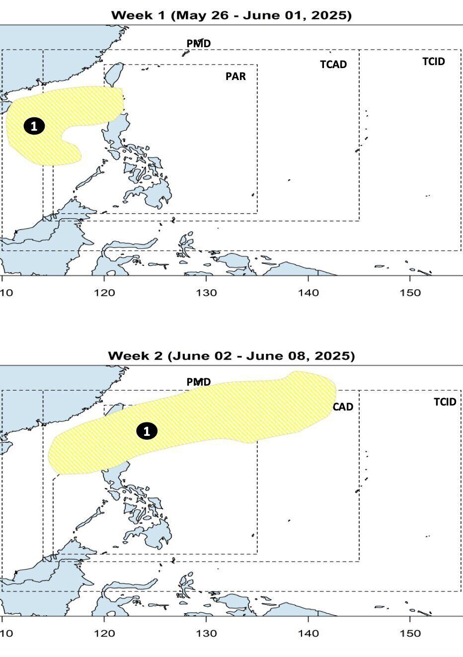
Philippine weather experts point out that during the week of May 26 to June 1, no low pressure is forecast to appear within the Philippine Forecast Area (PAR).
However, during this period, forecast models show that low pressure in the East Sea may form west of PAGASA's PMD forecast area. The low pressure has a wide area of influence in the East Sea but is unlikely to strengthen into a storm at this time.
According to experts forecasting storms in the Philippines, the week from June 2.6 to June 8, low pressure in the South China Sea continues to maintain operations in the PMD forecast area and continue to be less likely to become storms. These low pressure models are likely to move northeast of the East Sea, towards the Ba Si - Balintang strait and continue towards southern Japan.
PAGASA said there are two directions for storms and tropical depressions to move in May in the Philippines. The two directions of movement include: Storm, low pressure forming in the western Pacific, entering PAR but turning east before making landfall in the Philippines; Storm, low pressure forming in the western Pacific, entering PAR, making landfall in the central Philippines, then turning out to sea and leaving PAR.
Meanwhile, storms and depressions that form in June near the East Sea will move in more directions. First of all, the storm and low pressure enter the PAR, heading towards the Philippine mainland but loops back towards Taiwan (China) or Japan and does not have much impact on the Philippine mainland.
Second, the depression or storm enters the PAR but loops out immediately and heads towards Japan.
Third, a low pressure or typhoon in June may make landfall in the south of Luzon Island, Philippines and then enter the East Sea, heading north towards Vietnam or Hong Kong (China). Finally, the depression or storm may move northeast of Visayas, Philippines, into the East Sea, towards northern Vietnam or Hong Kong (China).
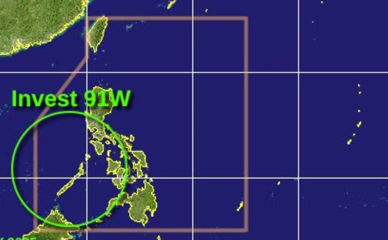
Since the beginning of the year, no typhoons have formed in the Philippines. However, low pressure areas near the East Sea or low pressure areas in the East Sea will continuously appear. The first typhoon in the Philippines this year will be named Auring, followed by Bising.
In the forecast for the 2025 typhoon season, PAGASA said that by September, there may be 8 to 14 storms entering or forming in the PAR. Of these, one to two are expected in June, and two to three per month in July, August and September.