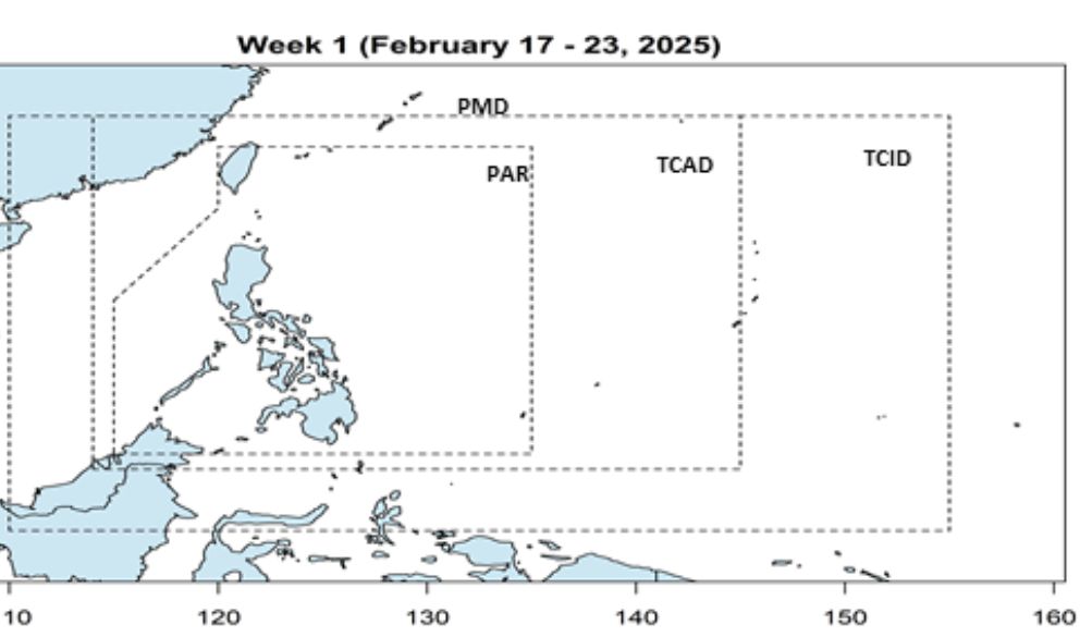
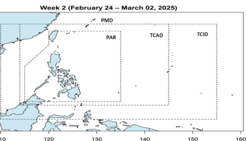
The storm forecast bulletin on February 17 of the Philippine Atmospheric, Geophysical and Astronomical Services Administration said that from February 17 to March 2, 2025, no low pressure areas or storms are forecast to form in the Philippine Forecast Area (PAR) or in the West Philippine Sea (South China Sea).
The Vietnam National Center for Hydro-Meteorological Forecasting warned that on the night of February 18, in the North East Sea (including the east of the Hoang Sa archipelago) and on February 19, in the northeastern sea of the North East Sea, there will be strong northeast winds of level 6, gusting to level 7-8, rough seas, waves 2-4.5m high.
On the night of February 18 and February 19, the sea area from Khanh Hoa to Binh Thuan will have strong northeast winds of level 5, sometimes level 6, gusting to level 7-8, rough seas, waves 2-3.5m high.
Natural disaster risk level due to strong winds at sea: level 2.
All ships operating in the above areas are at high risk of being affected by tornadoes, strong winds and big waves.
Previously, on February 12, a tropical depression appeared in the northwest area of Truong Sa archipelago. The strongest wind near the center of the tropical depression is level 6 (39-49 km/h), gusting to level 8.
On February 14, the Vietnam National Center for Hydro-Meteorological Forecasting issued the final bulletin on the tropical depression, saying that the tropical depression had weakened into a low pressure area in the western sea of the central East Sea.


