The storm/low pressure forecast of the Philippine Atmospheric, Geophysical and Astronomical Services Administration (PAGASA) said that at 2:00 p.m. on February 12, the center of the tropical depression was at about 12.3 degrees north latitude; 112.0 degrees east longitude, outside the Philippine forecast area (PAR), 320km northwest of Pag-asa Island, Kalyaan, Palawan. The tropical depression is likely to strengthen into a storm in the next 24 hours as it moves toward Vietnam.
However, the low pressure trough will bring cloudy skies with scattered rain and thunderstorms in Palawan.
PAGASA weather forecaster Obet Badrino added the fault line also brought cloudy skies with scattered rains and isolated thunderstorms over Isabela, Aurora, Quezon, eastern parts of Central and Southern Luzon.
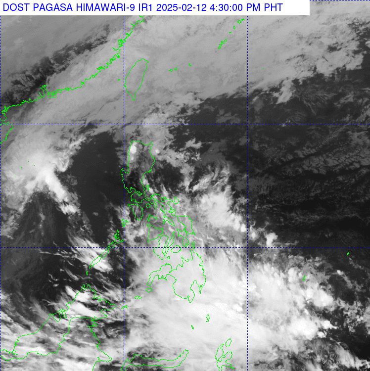
According to PAGASA, the fault line is the convergence of cold northeast monsoon winds and warm easterly winds. PAGASA warned of sudden flooding and landslides due to rains in Mindanao.
The northeast monsoon brings light rains to the Cordillera Administrative Region and the rest of Cagayan Valley, while the Ilocos region and the rest of Central Luzon experience cloudy skies with scattered light rains.
PAGASA has not issued any warnings for high winds in any coastal areas of the Philippines. However, Badrina noted that moderately rough seas may occur, especially along the northern and southern coasts of Luzon. Vessels and small boats should exercise caution, especially during thunderstorms, which can cause stronger waves.
Meanwhile, according to the Vietnam National Center for Hydro-Meteorological Forecasting, at 1:00 p.m. on February 12, the center of the tropical depression was located in the northwest area of Truong Sa archipelago. The strongest wind near the center of the tropical depression was level 6 (39-49 km/h), gusting to level 8; moving northwest at a speed of 5-10 km/h.
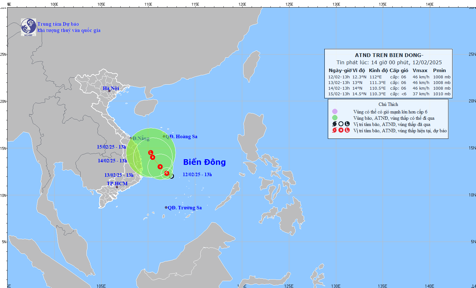
Forecast by 1:00 p.m. on February 13, the center of the tropical depression is at about 13.0 degrees north latitude, 111.3 degrees east longitude; in the sea west of the central East Sea. The strongest wind near the center of the tropical depression is level 6, gusting to level 8. The tropical depression moves northwest, about 5 km/h. Disaster risk level: level 3 in the west of the central East Sea; offshore waters from Binh Dinh to Khanh Hoa.
Forecast by 1:00 p.m. on February 14, the center of the tropical depression is at about 14.0 degrees north latitude, 110.5 degrees east longitude; in the offshore waters from Quang Ngai to Phu Yen. The strongest wind near the center of the tropical depression is level 6, gusting to level 8. The tropical depression moves northwest, at about 5 km/h. Disaster risk level: level 3 in the west of the central East Sea; offshore waters from Quang Ngai to Phu Yen.