On February 12, the Philippine Atmospheric, Geophysical and Astronomical Services Administration (PAGASA) is monitoring a low pressure area outside the Philippine forecast area (PAR).
PAGASA's storm/low pressure forecast bulletin said that at 2:00 a.m. on February 12, the center of the low pressure was at about 12.0 degrees north latitude, 112.1 degrees east longitude, 260km west-northwest of Pag-asa Island, Kalayaan, Palawan.
PAGASA noted that the depression "has a moderate chance of developing into a tropical depression within the next 24 hours."
Previously, PAGASA predicted that the Philippines would have only one or no storms in February. However, if the low pressure area develops into a storm, it will be locally named "Aurora".
The US Joint Typhoon Warning Center (JTWC) also issued a low pressure warning located between Vietnam and Palawan (Philippines). According to the JTWC, this low pressure consists of a well-defined circulation but scattered and disorganized convection, mainly moving north and west of the center.
The low pressure is currently almost stationary but will start moving southwest over the next few days as it comes under the influence of strong northeasterly winds in the South China Sea. Environmental conditions are expected to become more hostile but the low pressure is unlikely to intensify.
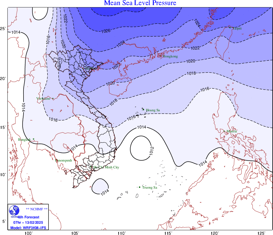
On the same day, February 12, the Vietnam National Center for Hydro-Meteorological Forecasting issued a report on a low pressure area in the central and southern East Sea. In the next 24 hours, the low pressure area will move slowly in a west-northwest direction and is likely to strengthen into a tropical depression.
During the day and night of February 12, there will be showers and thunderstorms in the area between the East Sea and the sea from Binh Dinh to Ninh Thuan. During the thunderstorms, there is a possibility of tornadoes and strong gusts of wind of level 6-7.
On the day and night of February 13, the North East Sea area (including the Hoang Sa archipelago) has strong northeast winds of level 6, gusting to level 7-8; rough seas; waves 2.0-4.0m high; the sea area west of the middle East Sea area and the sea area from Quang Ngai to Khanh Hoa has strong winds of level 6, gusting to level 7-8; rough seas; waves 2.0-3.0m high.
On the morning of February 13, the Gulf of Tonkin has strong northeast winds of level 5, sometimes level 6, gusting to level 7-8; rough seas; waves 1.5-2.5m high. Disaster risk level due to strong winds at sea: level 2.
Regarding the new cold air mass, the weather forecast of the Vietnam National Center for Hydro-Meteorological Forecasting said that around the night of February 12 and the morning of February 13, the cold air will affect the Northeast region, then affect the North Central region and some places in the Northwest. The wind inland will change to strong northeast at level 2-3, and coastal areas at level 3.
In the North and North Central regions from February 13, the weather will be cold, with some mountainous areas in the North experiencing severe cold. The lowest temperature during this cold spell in the North will generally be 14-17 degrees Celsius, in mountainous areas 11-13 degrees Celsius, and in high mountainous areas below 10 degrees Celsius; in the North Central region, it will generally be 16-18 degrees Celsius.
Hanoi area from February 13th, the weather is cold. The lowest temperature in this cold air mass is commonly 15-17 degrees.