The two strong weather systems are expected to form simultaneously next week, just as tens of millions of Americans prepare to enter Thanksgiving Day. Weather forecast centers said the risk of widespread disruption is clearly increasing.
Fox Weather's hurricane forecast says the first storm is expected to appear on November 24, starting in the southern plains of the United States (Southern Plains) and then spreading to the Southeast, before likely reaching the mid- Atlantic or Northeast on November 25.
The detailed plan for the storm is still updated, but models show several days of prolonged heavy rain in the south.
This could put pressure on major airports in the region such as Dallas Fort worth and George Bush (Houston) at a time when travel demand is skyrocketing.
According to data from the American Automobile Association (AAA), the afternoon of November 25 is expected to be a traffic jam peak, and the appearance of the storm will almost certainly extend travel time.
In parallel, another storm is expected to sweep the northwest Pacific Ocean on November 24, bringing cold air and widespread rain. The weather is forecast to move across the continent in midweek, affecting states between Missouri and Texas on November 26-28.
The FOX Forecast Center said the area is likely to see heavy rain, and snow could appear if the cold front is strong enough. However, the current scenario is still leaning towards more rain, due to the lack of reliability in the time of the intersection between humid air and cold air masses.
Although the two storms have caused many concerns, most of the western, northeastern, central Atlantic and southeastern regions are expected to dry up on Thanksgiving Day (November 27). Outdoor events, including major parades, could benefit from the late season's warm air before temperatures drop sharply in early December.
Along with the warning of two storms, meteorologists assess the 2025 Atlantic hurricane season as one of the most intense storms in history. Of the four major storms, three have reached Category 5, including Erin, Humberto and Melissa.
Notably, Melissa made landfall in Jamaica with winds of up to 298 km/h, becoming one of the strongest storms ever tracked. Melissa also reached a central pressure of only 892 mb, a record low, equivalent to the historic storm in 1935.
Despite many strong storms and no storms making landfall directly in the US mainland, coastal areas are still affected by large waves and flooding caused by offshore storms.
The Atlantic tropical depression has been quite calm since the beginning of November and is expected to continue to be quiet until next week.
Meanwhile, in the South China Sea, typhoon forecast models warn of the possibility of a new typhoon appearing in the Philippines and the South China Sea next week, with Typhoon Verbena possibly the next typhoon.
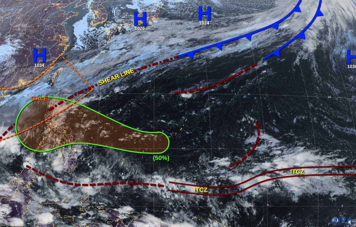
According to the Philippine Meteorological Agency, a weather system is likely to strengthen into a low pressure area and may enter the Philippine Forecast Area (PAR) in the last week of November, towards Eastern Visayas or Caraga.
Meanwhile, the European Global Forecast Federation (ECMWF) shows a 40% chance of typhoon formation in the Philippines and near the East Sea during the week of November 26 to December 2.


