Another low pressure area near the East Sea appears, forecast to strengthen soon

Thanh Hà |

The second low pressure near the East Sea appeared on the night of July 21 after the low pressure formed on the night of July 20. One of the two depressions is likely to strengthen before or during July 23.

The latest storm and low pressure information on July 22 from the Philippine Atmospheric, Geophysical and Astronomical Services Administration (PAGASA) said that one of the two low pressure areas being monitored in the Philippine Forecast Area (PAR) is likely to develop into a tropical depression before or during July 23.

Weather expert Obet Badrina said that low pressure LPA 07g is likely to strengthen into a tropical depression within the next 24 hours. This low pressure near the East Sea is 1,140 km east of Central Luzon, Philippines.

The second low pressure near the East Sea, LPA 07:00, is likely to develop into a moderate tropical depression, located 370 km east of Calayan, Cagayan.

One of these two low pressure areas could strengthen into a tropical depression. Currently, based on our latest data, the low pressure area east of Central Luzon is a potential candidate... This system is likely to strengthen into a tropical depression before or tomorrow, said Mr. Badrina.

If one of the two low pressure systems near the East Sea strengthens into a tropical depression, the system is forecast to move north. Therefore, the possibility of the low pressure near the East Sea making landfall is relatively low, even if it strengthens, PAGASA experts said.

However, badrina, a weather forecaster, said the southwest monsoon, or habagat, will bring rain and could bring heavier rain if one of the two depressions develops into a tropical depression.

Most parts of Luzon and Visayas are forecast to see showers on July 22, while Mindanao could see scattered thunderstorms.

Metro Manila, Calabarzon, Zambales, Bataan, Pampanga, Bulacan and Occidental Mindoro are expected to see rain due to the southwest monsoon, with the possibility of flooding or landslides due to moderate to heavy rain, sometimes very heavy.

Benguet, tarlac, Marinduque and Oriental Mindoro will have scattered rain due to the southwest monsoon. Cagayan Valley is expected to see cloudy skies, scattered showers and thunderstorms caused by low pressure troughs, flash floods or landslides that could occur due to moderate to heavy rain.

Visayas, the rest of Luzon, Zamboanga Peninsula, Barmm, Soccsksargen and Davao region will experience cloudy skies with scattered showers and thunderstorms due to the southwest monsoon. During major thunderstorms, flash floods or landslides may occur.

The two low pressure areas near the East Sea appeared in the context of the Philippines having just experienced a major impact from the southwest monsoon combined with Typhoon Wipha (called Crising in the Philippines, currently the third storm in the East Sea).

Three dams in Luzon opened some floodgates on July 20 due to heavy rain. The Ipo Dam in Bulacan opened a floodgate at 1.0 m at 8:00 a.m. on July 20 and the flood discharge was 112.50 m3/s. Meanwhile, Ambuklao dam in Benguet also opened a floodgate at 8:00 a.m. at 0.3 m, releasing 78.74 m3/s. The Binga Dam also in Benguet has 2 gates 1.0m high, releasing 161.57 m3 of water per second.

Thanh Hà
TIN LIÊN QUAN

US adjusts forecast of the location of storm No. 3 Wipha making landfall

|

Typhoon Wipha has changed direction compared to the original forecast and is expected to make landfall in Hai Phong, Vietnam.

Low pressure appears near the East Sea as storm Wipha is moving into the Gulf of Tonkin

|

The low pressure near the East Sea appeared from the night of July 20 in the context of Typhoon Wipha active in the East Sea.

Storm Wipha enters the East Sea, forecast 3 low pressure areas forming in a row

|

Typhoon Wipha did not make landfall in the Philippines as initially forecast and is moving into the East Sea. It is forecasted that right after storm No. 3 in the East Sea, 3 consecutive depressions will appear.

All night to help people evacuate from areas at risk of landslides and flash floods

|

Lao Cai - During the rainy night, the authorities actively supported people to evacuate from locations at risk of landslides and flash floods to safe places.

HCMC dismantles 9 fake drug production and trading rings

|

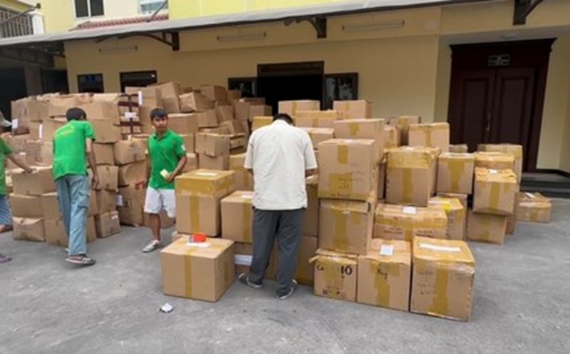
On July 22, the National Assembly's Committee on Culture and Society worked with the Ho Chi Minh City Department of Health on implementing policies and laws on the prevention and control of fake drugs and fake foods.

Hung Yen races against time, focuses all its efforts to fight against storm Wipha before landfall

|

Hung Yen - Strong winds of level 13, many localities urgently fight the storm. On-site forces promote efficiency, prioritizing people's safety.

Temporarily suspending conveyor ships to Nam Ninh due to the impact of storm No. 3

|

According to the report of the Ministry of Construction on the morning of July 22, the Railway Corporation stopped the Hanoi - Nam Ninh (China) international conveyor ship due to the impact of storm No. 3.

Fire in a house and wood warehouse in Son La, damage of nearly 300 million VND

|

Son La - A fire broke out in a house and a wood and wood warehouse in San Cai village, Van Ho commune. The fire burned down the entire warehouse and part of the house.

US adjusts forecast of the location of storm No. 3 Wipha making landfall

Thanh Hà |

Typhoon Wipha has changed direction compared to the original forecast and is expected to make landfall in Hai Phong, Vietnam.

Low pressure appears near the East Sea as storm Wipha is moving into the Gulf of Tonkin

Thanh Hà |

The low pressure near the East Sea appeared from the night of July 20 in the context of Typhoon Wipha active in the East Sea.

Storm Wipha enters the East Sea, forecast 3 low pressure areas forming in a row

Thanh Hà |

Typhoon Wipha did not make landfall in the Philippines as initially forecast and is moving into the East Sea. It is forecasted that right after storm No. 3 in the East Sea, 3 consecutive depressions will appear.