Low pressure still has the potential to become a storm
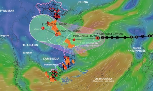
According to the forecast, at 7am the same day, the center of the tropical depression was about 220km east of Hoang Sa archipelago. The strongest wind near the center of the tropical depression was level 7, gusting to level 9; moving mainly in a westerly direction.
It is forecasted that in the next 24 hours, the tropical depression will likely strengthen into a storm, level 8, gusting to level 10. In the next 48 - 72 hours, the tropical depression will move in a West Northwest direction and weaken.
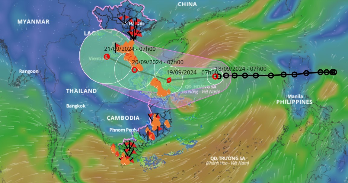
According to forecasts, the tropical depression/storm will affect the North East Sea area (including Hoang Sa archipelago), the sea area from Nghe An to Quang Ngai (including Ly Son island district, Cu Lao Cham, Con Co, Hon Ngu) with strong winds of level 6-7, waves 2-4m high, the area near the storm center will have winds of level 8, gusts of level 10, waves 3-5m high, rough seas.
On the sea of Binh Dinh province, there are showers and thunderstorms, strong winds level 5, gusts level 6-7, waves 1.5-2.5m high.
Previously, on the afternoon of September 17, the Standing Office for Natural Disaster Prevention of Binh Dinh province - said that there were 7 fishing boats of Binh Dinh fishermen in the affected area of the tropical depression, about 320km from the center of the tropical depression.
The Border Guard Command of Binh Dinh Province, the Fisheries Branch (Binh Dinh Department of Agriculture and Rural Development), the Quy Nhon Coastal Information Station, and localities have contacted the ship owner's family to inform vessels operating at sea of the situation of the tropical depression. Currently, fishing vessels are moving out of the area affected by the tropical depression.
On the same day, September 17, Binh Dinh province issued an official dispatch requesting units, localities, and the Provincial Border Guard Command to prepare for response to a tropical depression in the East Sea that is likely to strengthen into a storm.
More than 281,000 people need support
According to the Department of Agriculture and Rural Development of Binh Dinh province, from September to November 2024, this province may be directly or indirectly affected by 1-2 storms and tropical depressions. The total rainfall in Binh Dinh is forecast to be 10-30% higher than in many years.
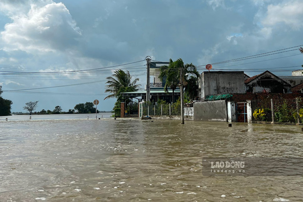
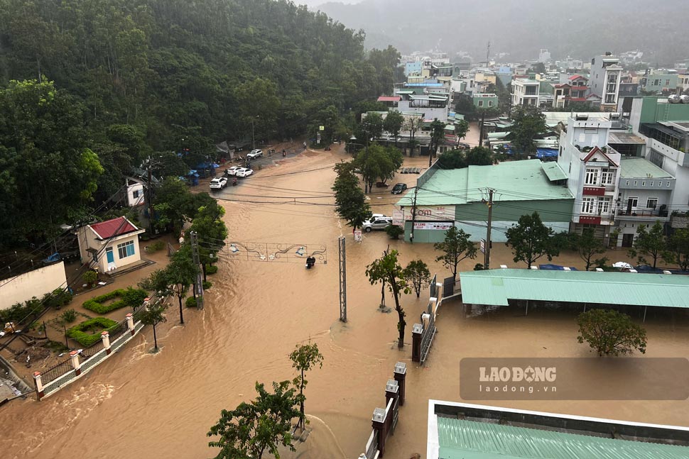
River water levels will fluctuate strongly, with the possibility of 3-5 floods with flood peaks reaching alert levels 2-3, in some places exceeding alert level 3; there is a high risk of flash floods and landslides in mountainous areas and localized flooding in low-lying areas.
The leader of the Department of Agriculture and Rural Development of Binh Dinh province said that up to now, localities have had specific plans to identify areas at risk of being affected by natural disasters such as storms, tropical depressions, rising sea levels due to storms, floods, inundation, landslides, etc.
According to statistics, the whole province has 403,460 households with 1,478,043 people checked and updated on Binh Dinh Province Disaster Management software. Of which, 281,465 are vulnerable people who need attention and support when natural disasters occur.
Localities have also identified the number of households and people who need to be evacuated; evacuation locations, logistics at evacuation destinations, means and human resources to respond to natural disasters according to the "4 on-site" motto. At the same time, evacuation plans have been prepared for each level of storm and flood risk.
Through review, the whole province has 159 communes, wards and towns affected by storms; 25 communes and wards of 5 coastal districts, towns and cities affected by rising sea levels; 119 communes, wards and towns affected by floods.
In particular, there are 15 areas at high risk of landslides. Of which, Hoai An district has 4 areas, An Lao district has 3 areas, Vinh Thanh district has 2 areas, Quy Nhon city has 2 areas and Phu Cat district has 4 areas.