In recent months, the water level of the Red River passing through Phu Tho province has dropped. The National Center for Hydro-Meteorological Forecasting's short-term water source forecast bulletin No. 46 dated February 15 shows that the actual water level measured by the Red River ( Thao River) at Phu Tho station at 7:00 a.m. was 10.71 m (lower than 10.89 m at 7:00 a.m. on February 14.
According to the reporter of Lao Dong Newspaper on February 14 and 15, at Phong Chau bridge area, the water level of the Red River dropped, combined with many days of cool weather, work here went smoothly.
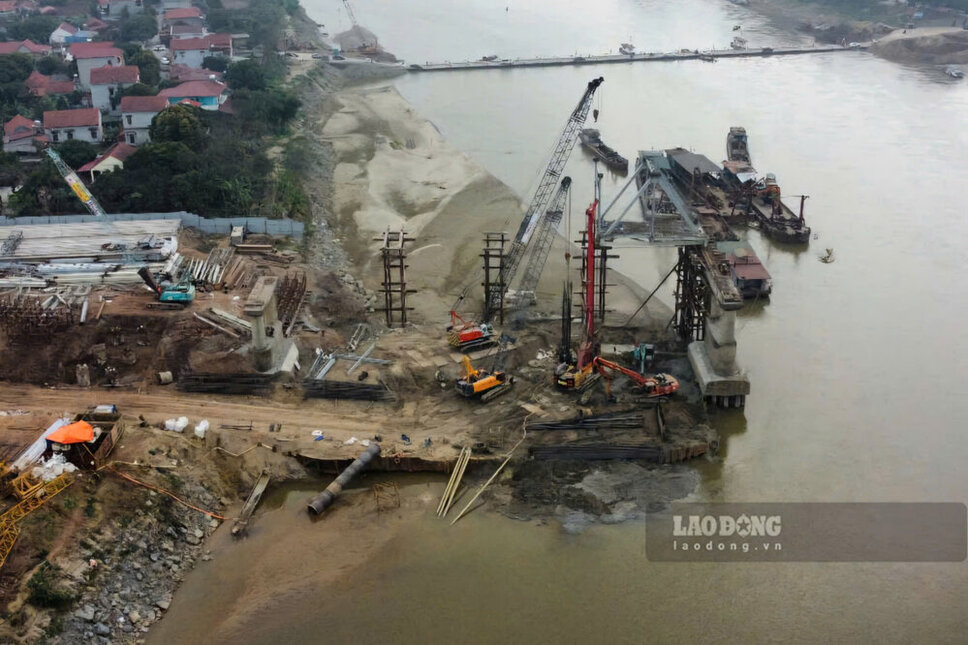
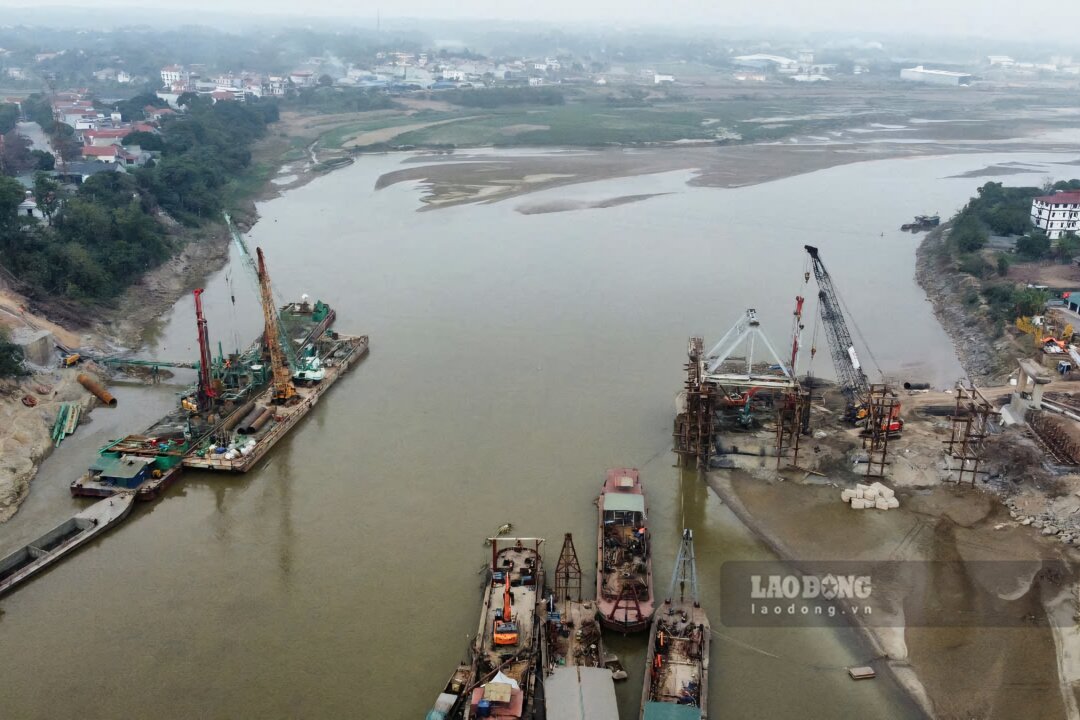
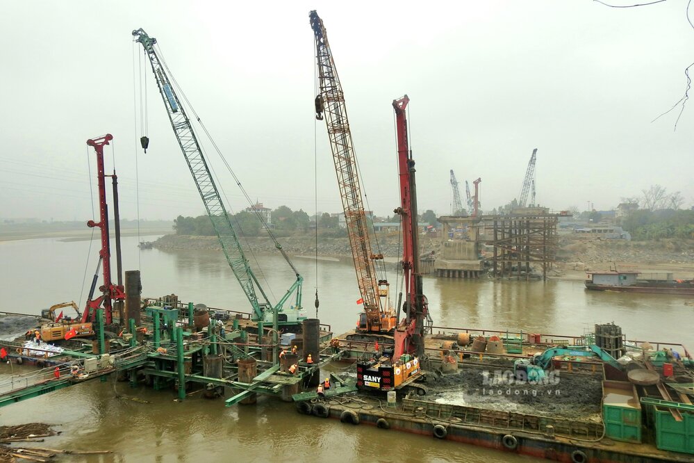
On the river, the demolition of pillars T5 to T6 of the old Phong Chau bridge is almost completed, the remaining volume of steel and concrete is not much. To dismantle this bridge, the construction unit had previously built a service road to pull it from the bank to the river.
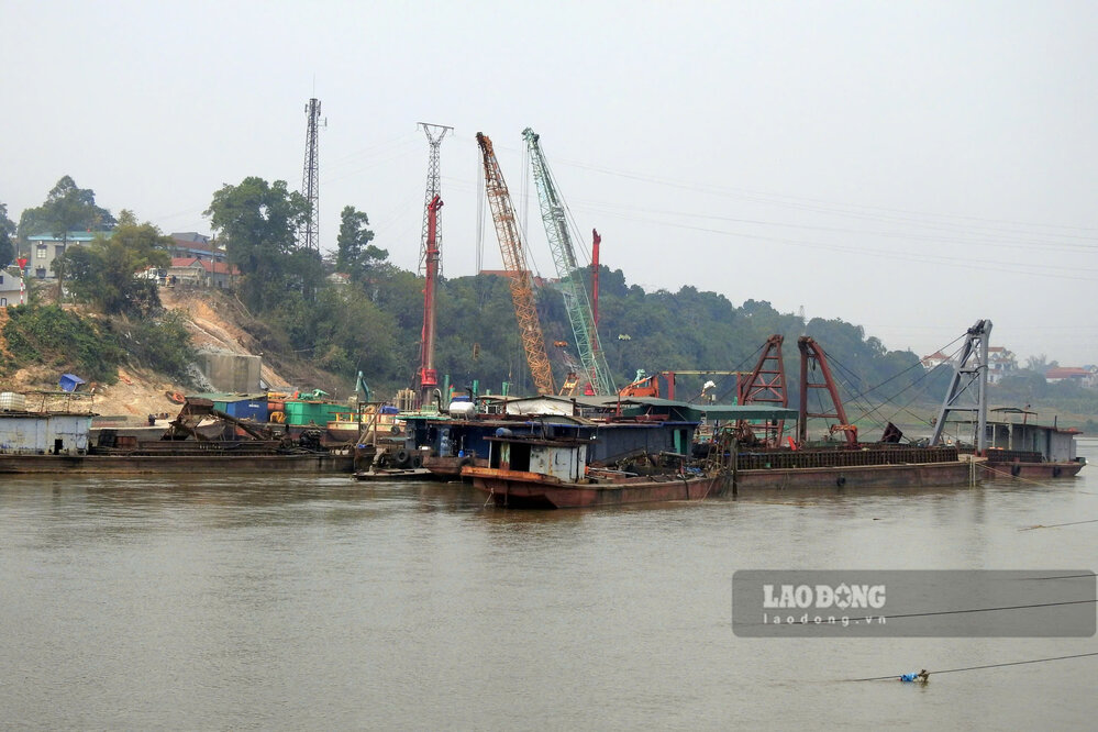
The demolition and salvage of the N6 span of the old Phong Chau bridge is also being carried out, with many ships, excavators, cranes... operating in the middle of the river. Many structures of the old bridge have been gathered on the shore.
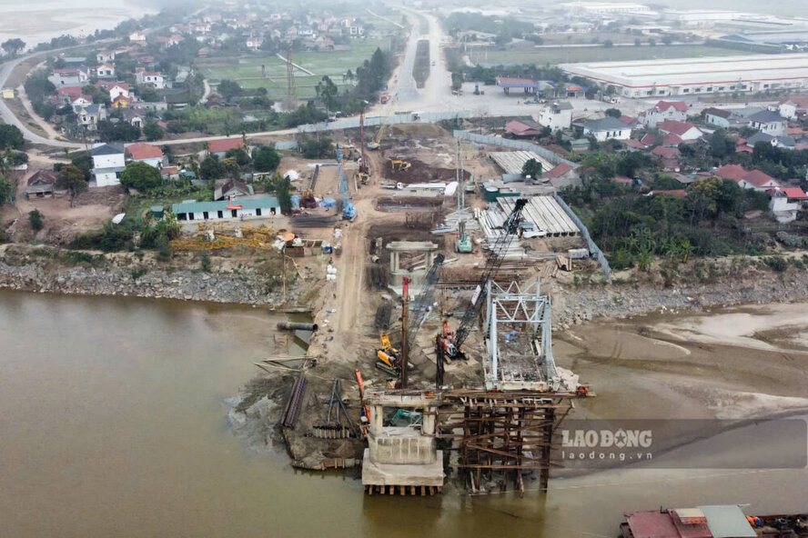
Regarding the construction of the new Phong Chau bridge, according to the reporter's source, 32 bored piles on the shore and many piles on the river have been almost completed, some locations are starting to dig foundation holes... Engineers and workers of Truong Son Construction Corporation have worked all night, all day and night until the holidays.
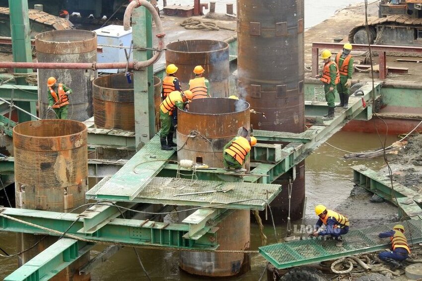
Both under the river and on the shore (especially in Phung Nguyen commune, Lam Thao district), there are many large machines and equipment mobilized to construct this important project, the sound of machinery operating throughout the area.
Regarding the water level of the Red River, according to the Forecast bulletin, the nationwide seasonal hydrometeorological warning (from March to August 2025) on February 14 of the National Center for Hydro-Meteorological Forecasting, forecasts for the flow on rivers in the Northern region in the next three months will generally be 20-40% lower than the average of many years.
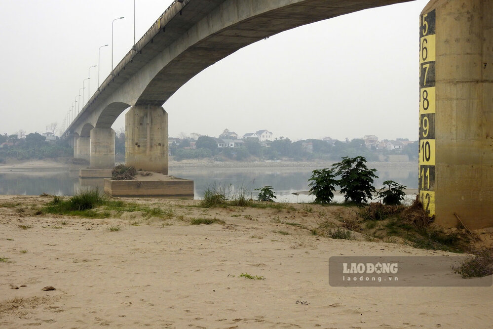
According to the hydrological forecast table from March to May 2025, the water level of the Red River at Phu Tho station in March will be an average of 10.70 m, in April it will be 11 m, in May it will be 11.50 m.


