According to the Ho Chi Minh City Department of Construction, after merging with Binh Duong and Ba Ria - Vung Tau, Ho Chi Minh City has an area of over 6,772 km2, a population of about 14 million people and all types of transportation.
The total length of the road network is more than 24,745 km, with 1,426 bridges and tunnels; the railway system includes a 22.9 km national railway and a 19.7 km metro line No. 1 (Ben Thanh - Suoi Tien).
The inland waterway system has 132 routes with a total length of more than 1,433 km; 17 sea routes are more than 322 km long, along with international and domestic airports.
However, the Department of Construction admits that the number of newly registered personal vehicles is constantly increasing rapidly every year, while the traffic infrastructure has not kept up.
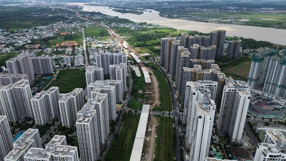
After the merger, Ho Chi Minh City is managing more than 12.7 million vehicles, including more than 1.4 million cars and 11.3 million motorbikes.
In that context, the task of the transport sector is to build a strong network of connections between urban areas, industrial parks and seaports, while reducing congestion, promoting green public transport and transportation.
The city will continue to invest in infrastructure, creating a regional connection foundation through key traffic axes such as beltways, highways, national highways, and inland waterways.
At the same time, Ho Chi Minh City is implementing green transportation transformation and vehicle emission control, implementing the Project to enhance public passenger transport combined with private vehicle control.
According to the Ho Chi Minh City Department of Construction, from now until 2030, the city will focus on developing important highways and beltways.
In the 2021 - 2025 period, Ho Chi Minh City has completed 54.7 km of highways and beltways. In the 2026 - 2030 period, it is expected to complete an additional 282.6 km, including the Bien Hoa - Vung Tau, Ho Chi Minh City - Moc Bai Expressway, Long Thanh - Ho Tram, Ho Chi Minh City - Thu Dau Mot - Chon Thanh Expressway, along with Ring Roads 3, 4...
The coastal road will also be expanded with 39.71 km completed in the 2021 - 2025 period and an additional 76.79 km in the 2026 - 2030 period.
Important external traffic axes including National Highways 1, 13, 22 have also been expanded; the East-West axis road ( Vo Van Kiet Street) has been extended connecting from National Highway 1 to the Tay Ninh provincial border; building Thu Thiem 4, Can Gio, Phu My 2 bridges...
Ho Chi Minh City aims to develop an urban railway system according to the TOD model, connecting the inner city with functional centers. Notable routes include route No. 4 from Dong Thanh (Hoc Mon) - Tan Son Nhat airport - Ben Thanh - Nguyen Huu Tho - Hiep Phuoc urban area; Ben Thanh - Can Gio metro line.
The city will build and upgrade high-speed railway lines for passengers, freight railway (Bau Bang - Dong Nai - Cai Mep - Thi Vai); railway line connecting Tan Son Nhat and Long Thanh International Airports, along with railway lines connecting Cai Mep Ha port and Can Gio international transit port.
The seaport system will expand Cai Mep - Thi Vai port, develop Can Gio international transit port, and exploit the Saigon - Dong Nai - Soai Rap river channel.
Ho Chi Minh City also upgraded Con Dao airport to serve transportation and tourism development.


