Weather forecast for the next 24-48 hours, the continental high pressure will weaken, and will strengthen again around October 19. The Northeast wind will decrease slightly in the southern seas.
The wind convergence area in the South China Sea is more active combined with high-altitude easterly wind disturbances. Above, the subtropical high pressure will continue to encroach to the West, after stable activity.
Around October 18, a low pressure trough will be established across the South China Sea connecting with the tropical depression in the eastern part of the Philippines.
Weather forecast for the next 3-10 days, the continental high pressure will continue to strengthen to the South, then will be strengthened more strongly around October 20-21.
The low pressure trough over the South China Sea connecting with the tropical depression is likely to strengthen into a storm in the northeastern Philippines, moving mainly northwest and entering the East Sea on October 19-20,
Around October 21-22, the low pressure trough connecting with the tropical cyclone will weaken and fade. The Northeast wind will be weak in the southern seas, gradually becoming stronger from October 21-22. Above, the subtropical high pressure will operate stably, then weaken.
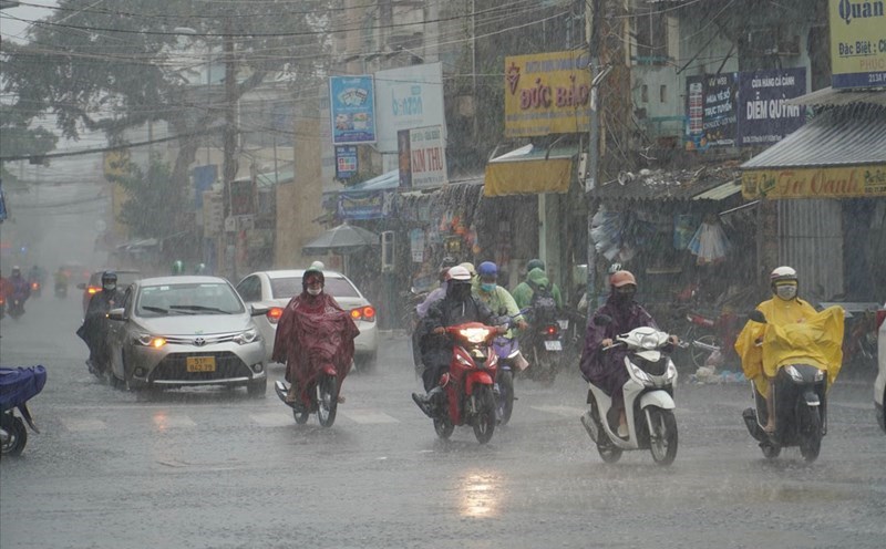
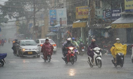
Therefore, the weather in the South is cloudy, sunny during the day, noon, afternoon and evening, with showers and thunderstorms, some places have moderate to heavy rain, during thunderstorms, beware of lightning, strong gusts of wind and tornadoes.
In the coming days, the highest water level of the day at most stations on the Saigon River will continue to rise following the high tide in early September of the lunar calendar and will be at a high level. The highest peak tide in this period is likely to appear on October 21-23.
This is a high tide period, it is necessary to be on guard against heavy rain combined with high tides causing flooding in low-lying areas, along rivers affecting traffic and socio-economic activities in the Ho Chi Minh City area.