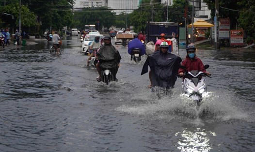
On the afternoon of September 24, convective clouds are developing in Binh Duong, Tay Ninh, Dong Nai, Ba Ria - Vung Tau, Ho Chi Minh City, Tien Giang, Dong Thap, An Giang, Kien Giang provinces...
In the next 4 hours, this convective cloud area will cause showers and thunderstorms for the above area and neighboring provinces such as Ca Mau, Bac Lieu, Ba Ria - Vung Tau... During thunderstorms, there is a possibility of tornadoes, lightning, hail, and strong gusts of wind.
The thunderstorms are caused by the continental high pressure strengthening in the North. The tropical convergence zone has an axis across the North Central region. The southwest monsoon operates with medium to weak intensity. Above, the subtropical high pressure encroaches westward across the South.
From the next 24-48 hours, the low pressure trough with an axis over the Central region will gradually weaken. Above, the subtropical high pressure will encroach on the West and have an axis over the Central region.
From 72 hours to the 10th day, the low pressure trough with its axis over the North Central region gradually fades. Above, the subtropical high pressure encroaches on the West and lifts its axis to the North. From September 26-27, the axis passes over the North Central region. Around October 1, the cold continental high pressure strengthens and moves down to the North of our country.
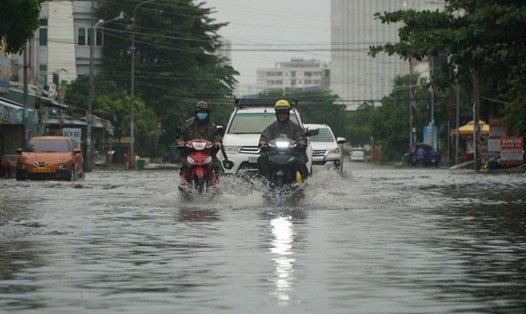
Therefore, from September 26 onwards, rain will increase again. During thunderstorms, there is a possibility of tornadoes, lightning and strong gusts of wind. Beware of the possibility of heavy rain causing localized flooding in low-lying areas and areas with poor drainage capacity.