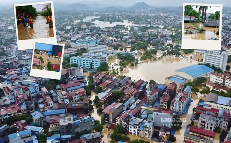
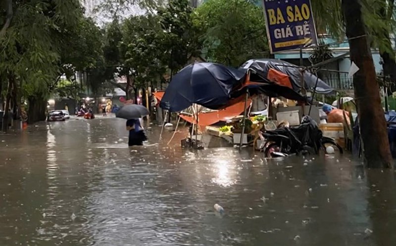
In addition to National Highway 70, floods have caused serious damage to the traffic infrastructure system in the area with more than 330,000m3 of landslides on the positive slope, nearly 1,900m of landslides on the negative slope and more than 14,000m2 of damaged road surface. Traffic routes that were severely affected such as National Highway 4D, National Highway 32, National Highway 4E are also being urgently repaired.
Currently, the Lao Cai Road Maintenance Management Board is directing contractors to mobilize human resources and machinery to clear mud and install warning signs to ensure safe traffic.
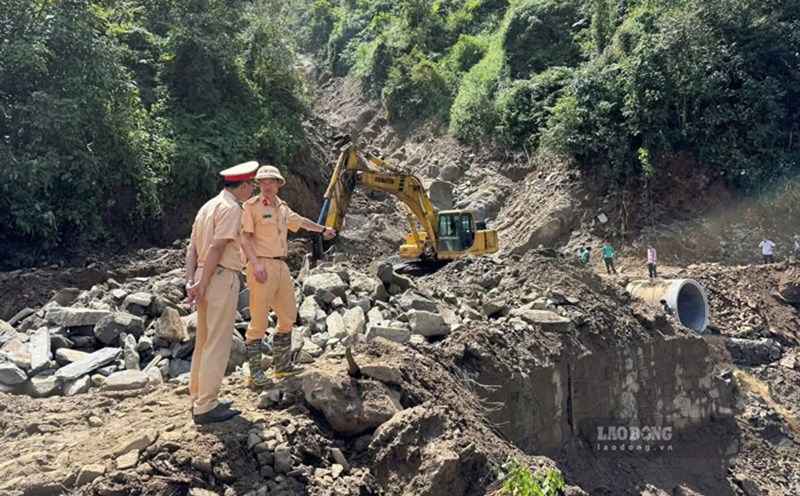
In Tuyen Quang, due to the impact of heavy rain and floods, a section of the negative slope on National Highway 2 adjacent to the banks of the Lo River, in Ha Giang 1 Ward, has been seriously eroded.
According to records, the landslide section from Km285+995 to Km286+355, almost the entire negative slope has collapsed into the Lo River, forming a frog's jaw and continuing to show signs of spinning deep into the roadbed and roadbed. The landslide also exposed and damaged many underground construction items on the route.
Also at this location, the positive slope is showing a large crack running along the hill, with a very high risk of landslides. According to the authorities, if landslides on the negative and positive slopes continue to occur, it is entirely possible that National Highway 2 will be cut off.
Mr. Nguyen Van Tung - Deputy Director of the Tuyen Quang Province Foreign Capital Project Management Board - said that National Highway 2 is currently a vital route connecting Hanoi and the administrative center of Tuyen Quang province to Thanh Thuy International Border Gate, Ha Giang 1 and Ha Giang 2 wards. Currently, the unit has sent a report to the People's Committee of Tuyen Quang province on the landslide situation on National Highway 2 and 8 landslides and flooding national highways to propose solutions in case of emergency.
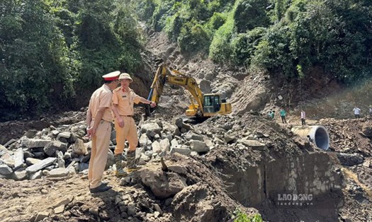
Breaking the Bac Khe 1 Hydropower Dam in Lang Son, there were no casualties
At 1:30 p.m. on October 7, the Bac Khe 1 Hydropower Dam in Tan Tien Commune, Lang Son Province broke with a length of about 4-5m and a depth of 3-4m.
According to the Tan Tien Commune Civil Defense Command, due to prolonged heavy rain, the peak water flow reached 1,572m3/s, causing the factory to break a concrete piece at the water intake, and the central control room and equipment in the room were knocked down. The total initial estimated damage is about 50 billion VND.
The Commune Civil Defense Command has urgently notified by communication means such as phones, Zalo groups, ... to the villages around Bac Khe 1 Hydropower Plant and downstream areas of communes such as That Khe, Trang Dinh, Khang Chien, Quoc Viet so that the commune authorities can notify people to evacuate from the danger zone, ensuring safety of life is paramount. As of 5:00 p.m. on October 7, there were no recorded human losses after the Bac Khe 1 Hydropower Dam broke.