
On the morning of August 20, Mr. Pham Duy Thang - Head of Traffic Infrastructure Management Department, Ha Tinh Department of Construction - said that due to the impact of prolonged heavy rain, at Km84+670 on DT. 547 road (coastal road), the section passing through Ky Xuan commune, sludge from the mountain flowed down to the road surface into a thick layer, affecting the traffic of vehicles.
According to Mr. Thang, this location once experienced a major landslide in 2025. After that, the area was treated and remedied by lowering the mountain and reinforcing it with stone cages to prevent landslides.
However, in recent days, due to heavy rain, water and soft mud from the new soil on the mountain continue to flow down through rock crevices, posing a potential risk of traffic unsafety.
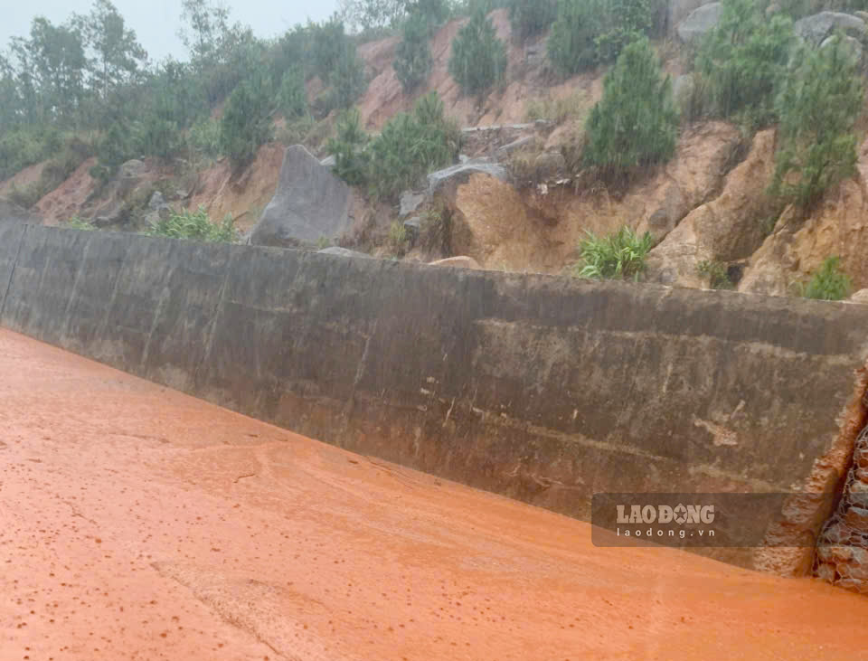
To ensure safety, the Ky Xuan commune government has placed dangerous warning signs and restricted vehicles from passing at Km84+670 on DT. 547 road.
Also related to the risk of landslides, at the positive taluy position with a long crack on the Dong - Trung road, in Ky Anh commune, the risk of landslides is assessed at a high level.
Mr. Pham Duy Thang said that the People's Committee of Ky Anh commune is currently in the process of completing the dossier to approve the plan to overcome and handle this landslide location.
Faced with prolonged heavy rain, Ky Anh Commune Police placed dangerous warning signs and restricted vehicles from passing through the area with cracks on the positive slope of the Dong - Trung road.

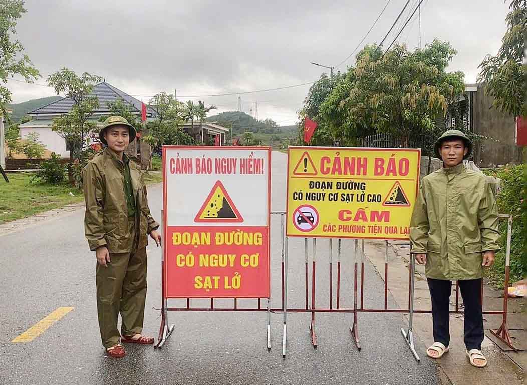
There is also a risk of landslides on the national defense road in Cam Trung commune. Cam Trung commune police have surveyed the scene and placed dangerous warning signs to limit vehicles from passing through.
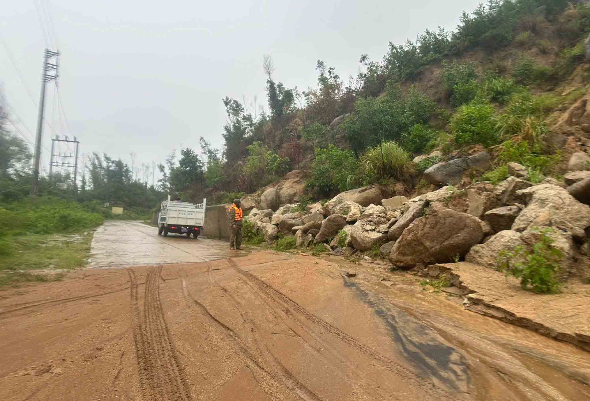
According to the Standing Office of the Steering Committee for Natural Disaster Prevention and Control of Ha Tinh province, due to the impact of the tropical convergence zone, from the night of August 18 to the morning of August 20, moderate to heavy rain occurred in the province, with very heavy rain in some places.
Rainfall measured from 7 pm on August 18 to 7 am on August 20 at some hydrological stations such as: Cam Nhuong 314 mm; Ky Anh 185 mm; Ha Tinh 182.3 mm; Linh Cam 166.4 mm; Son Diem 122.6 mm; Chu Le 121.4 mm; Hoanh Son 81.6 mm.
Heavy rain also caused localized flooding in some eastern and coastal areas such as Ky Anh, Thien Cam, Cam Trung, Dong Kinh, Can Loc, Xuan Loc, Duc Thinh...
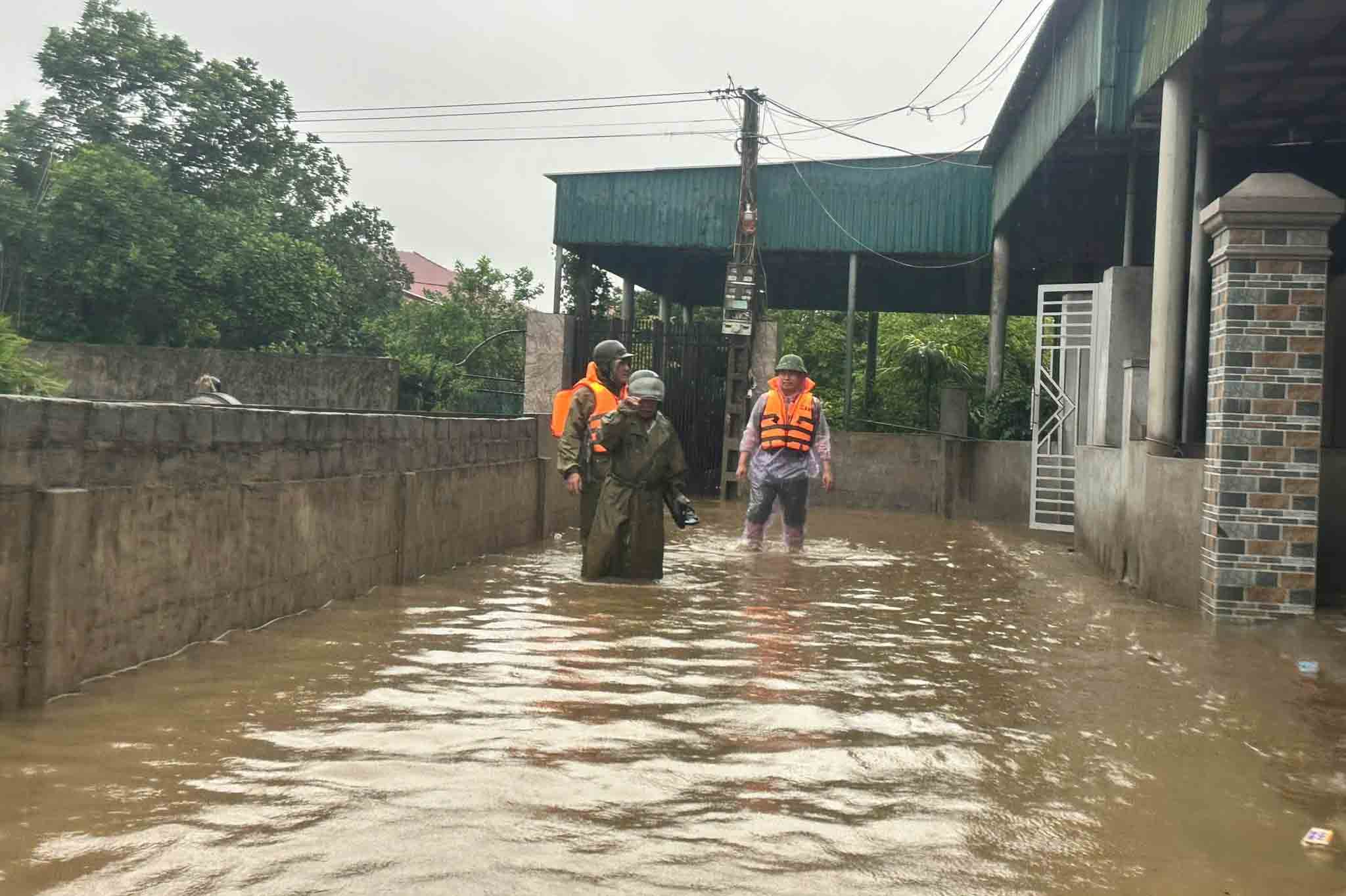
Ha Tinh Irrigation One Member Limited Liability Company and the People's Committees of communes have mobilized human resources to organize the operation of drainage shafts, ensuring drainage, and reducing the risk of localized flooding for summer-autumn rice areas.
Faced with complicated weather developments, Ha Tinh Provincial People's Committee has issued an official dispatch on proactively responding to heavy rain, flash floods, landslides.
The Department of Agriculture and Environment also issued documents to implement measures to ensure the safety of La Giang dyke and reservoirs.
The Standing Office of the Provincial Steering Committee for Natural Disaster Prevention and Control, departments, branches and localities arrange 24/24 hour duty forces to monitor the situation of heavy rain, promptly advise and handle possible situations.


