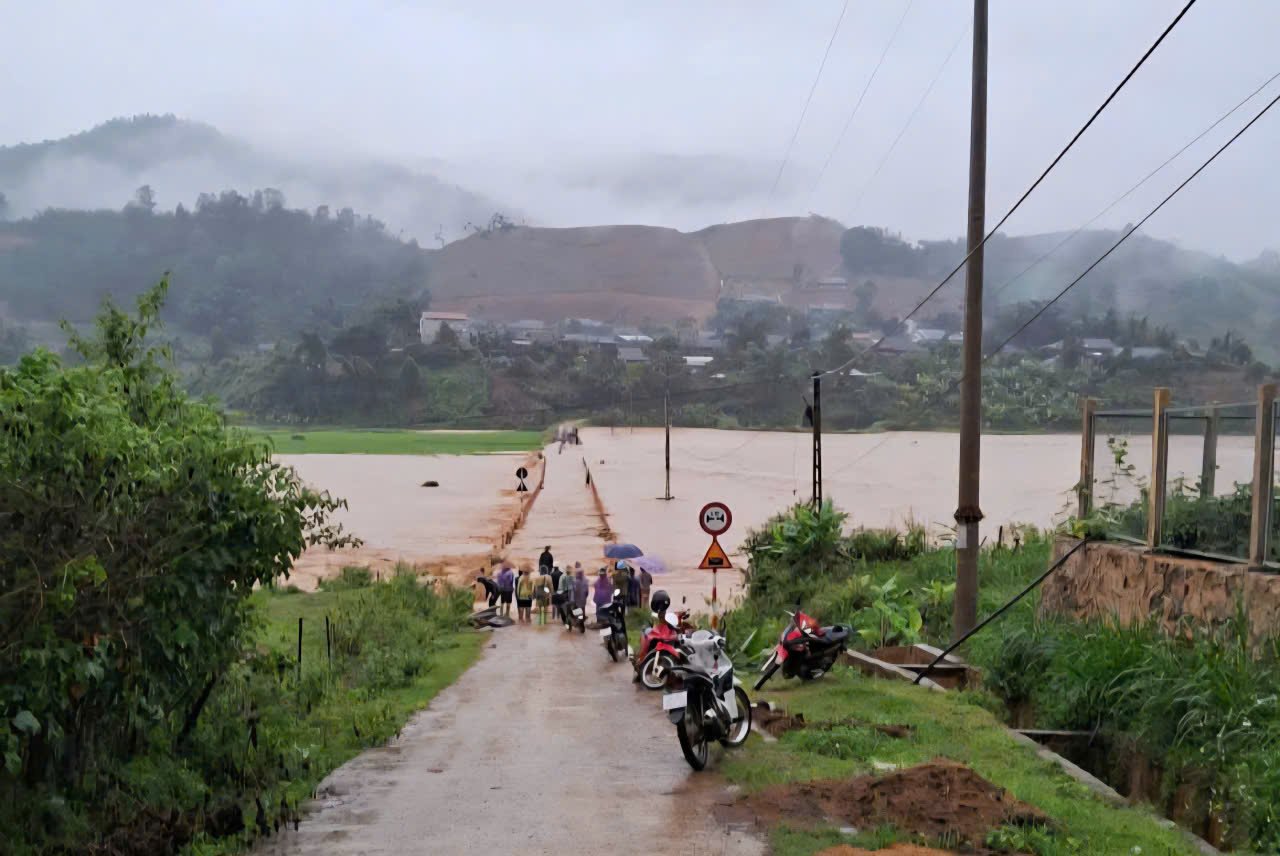
According to the Son La Province Hydrometeorological Station, the water level of the Ma River is rising very quickly, exceeding alert level 3, posing a high risk of flooding, flash floods and landslides.
The water level at Xa Da station at 10:00 a.m. this morning (August 1) reached 28,172cm, 22cm above alert level 3. It is forecasted that from 1:00 p.m. to 4:00 p.m. on August 1, the water level may reach 28,350cm, 200cm higher than alert level 3, only 178cm lower than the historic flood in September 1975 .
High risk of flooding in riverside communes such as Muong Hung, Chieng Khoong, Chieng Khuong, Chieng So, Huoi Mot, Bo Sinh, Nam Ty, Muong Lam, Song Ma commune.
Risk of flash floods, landslides in steep hills and traffic slopes. Natural disaster risk level 2.
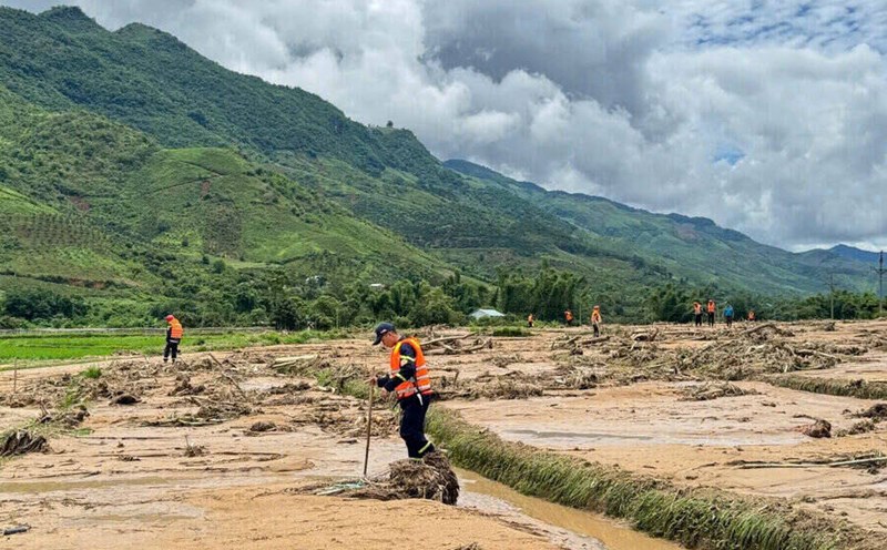
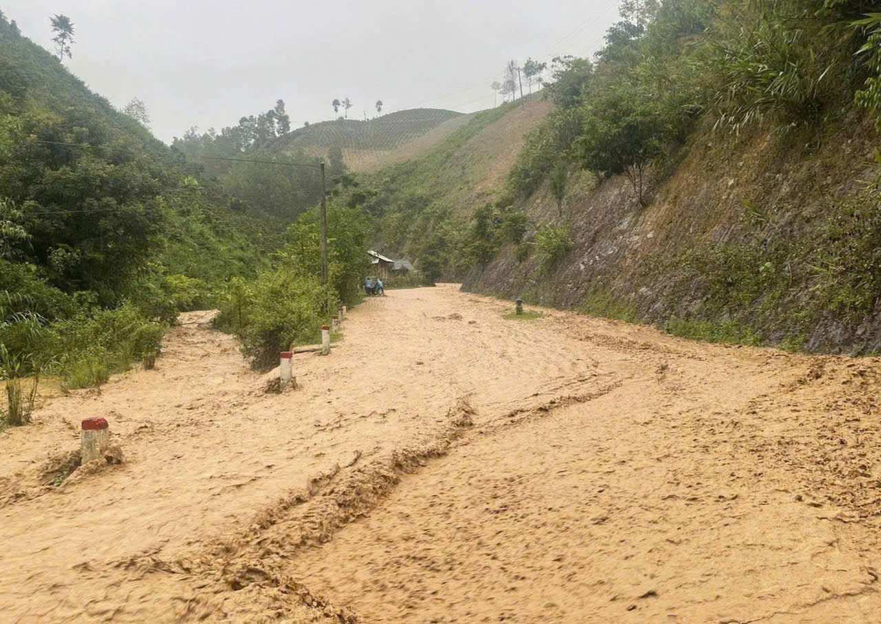
As of 11am on August 1, there were 5 communes in Son La province affected. Many villages and hamlets were isolated due to deep flooding and traffic congestion such as Kha village, Na Vat, Cong village (Muong Lan commune); in Pung Banh commune, the traffic route from Dam Cang to Pung Banh commune was flooded 2m deep, causing 10 villages of this commune to be completely isolated.
In Chieng So commune, Na Loc 1,2, Pe Tien, Tau Hay villages were deeply flooded; Similarly, in Bo Sinh commune, National Highway 12, the section passing through the commune, had many sections flooded 3-4m deep. Phong, Pat, Pa Ngay, Na Nieng villages are completely isolated.
In Song Ma commune, the section through the old Song Ma town was flooded 0.5m, making it impossible for vehicles to travel.