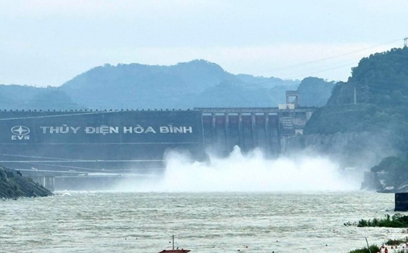
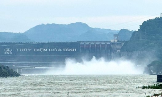
According to an update from Hoa Binh Hydropower Company, as of 4:00 p.m. on November 5, the upstream water level of Hoa Binh Lake was at 116.43m; the flow to the lake reached 1,432m3/s, with a total discharge of 1,425m3/s.
Mr. Pham Van Vuong - Director of Hoa Binh Hydropower Company informed that, implementing the Inter-reservoir operation process on the Red River basin, Hoa Binh Hydropower Reservoir closed 1 bottom spillway gate at 3:00 p.m. on November 5, currently only maintaining power generation through generators. After closing the bottom spillway, the water flow downstream is about 1,800m3/s.
Previously, closely following the developments of the rainy weather situation that has lasted for many days, Hoa Binh Hydropower Plant was ordered to open 1 bottom spillway gate at 10:00 p.m. on November 4, 2025.
According to Mr. Vuong, the closure and opening of the bottom spillway will depend on hydrological developments, the flow of water and follow the direction of the National Steering Committee for Natural Disaster Prevention and Control.
The upstream - downstream water level and flow parameters to the reservoir are continuously updated, reported to the Ministry of Agriculture and Environment through the Department of Dyke Management and Natural Disaster Prevention, and related agencies.
According to the National Center for Hydro-Meteorological Forecasting, November 6 - 7 is the peak period when the Central provinces are affected by storm No. 13 Kalmaegi. Warning of a high risk of high-intensity rain with rainfall greater than 200 mm/3 hours and thunderstorms, whirlwinds, strong gusts of wind before and during the storm's landfall.
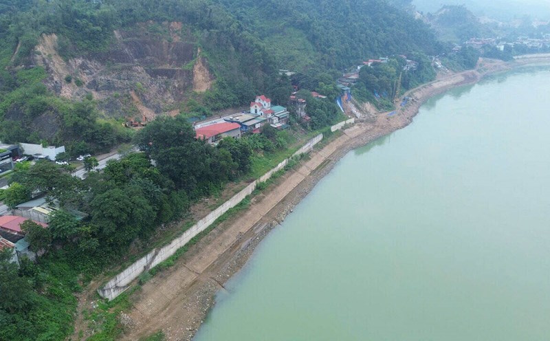
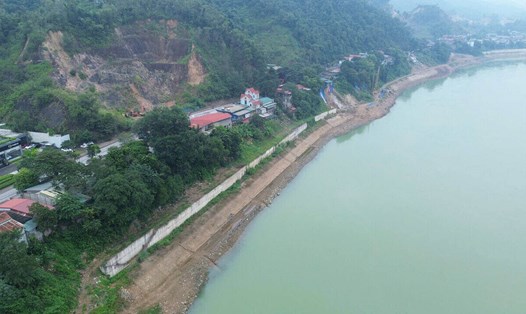
Although the center of the storm did not fall directly into Phu Tho, due to wide circulation, the Northwestern and midland provinces, including Hoa Binh hydroelectric reservoir, may be affected by prolonged heavy rain.
According to the National Center for Hydro-Meteorological Forecasting, from November 6 to 7, the area from Da Nang city to Dak Lak will have very heavy rain with common rainfall of 200 - 400 mm/ods, locally over 600 mm/ods. The area from southern Quang Tri to Hue city, Khanh Hoa and Lam Dong will have heavy rain, generally 150 - 300 mm/ods, locally over 450 mm/ods. From November 8, the rain will gradually decrease.
From November 7 to 8, the northern area from Quang Tri to Thanh Hoa will have moderate rain, heavy rain, common rainfall of 50 - 150 mm/ods, locally over 200 mm/ods.
At sea, the central East Sea area (including the sea area north of Truong Sa special zone) has strong winds of level 8-11, the area near the storm center has strong winds of level 12-14, gusts of level 17; waves 5-7 m high, the area near the storm center has 8-10 m, the sea is very rough.
From early morning on November 6, the sea area from southern Quang Tri to Khanh Hoa (including Ly Son special area, Cu Lao Cham island) will have winds gradually increasing to level 6-7, then increasing to level 8-11, near the storm center will be strong at level 12-14, gusts of level 17; waves 3-5 m high, near the storm center will be 6-8 m, the sea will be very rough.
Coastal areas from Hue city to Dak Lak have storm surge of 0.3 - 0.6 m. From the evening of November 6, it is necessary to be on guard against sea surge combined with large waves causing flooding in low-lying coastal areas, waves of dykes, coastal erosion, slowing flood drainage. All ships and aquaculture areas in the danger zone are strongly affected by rising winds, waves and sea levels.