
Road subsides, people reinforce themselves
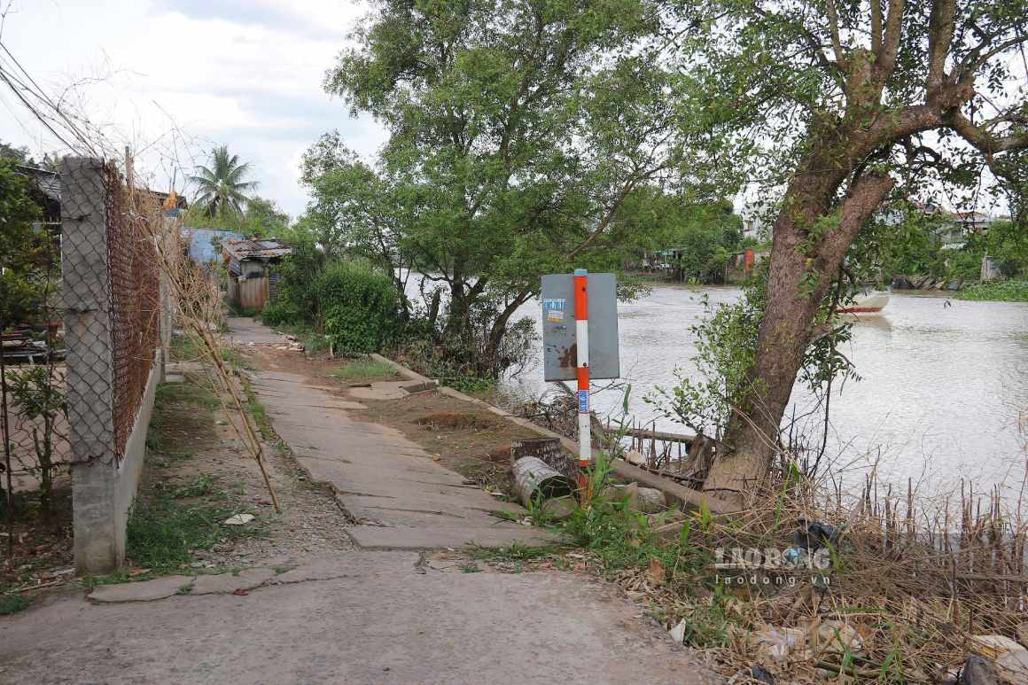
In area 1 and area 2 of Thoi An Dong ward (Can Tho City), many road sections along the Tra Noc River have appeared with extended cracks, the road surface is deeply subsided. In some places, the road is completely collapsed, people have to go around or take a ride through other households' land.
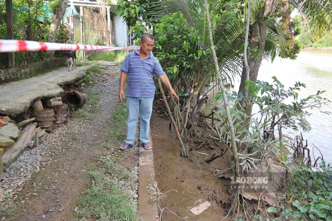
Mr. Bui Van Hiep (70 years old, area 2) said that his family has lived here for many generations. About 8-10 years ago, landslides began to appear, but in recent years they have become faster and more serious.
Mr. Hiep said that the road in front of the house is about 50-60cm apart, and the family has to use trees and stones to temporarily block the entrance.
The above area is also starting to collapse, I have to take trees and stones to put temporarily, otherwise the car will have no way into the house," Mr. Hiep said.
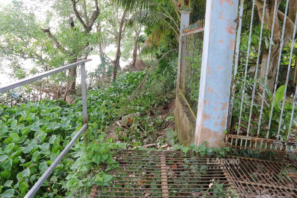
According to local people, landslides not only cause difficulties in travel but also pose a risk of accidents. Every time the water is high, students and workers going to work have to watch the tide. Many days when the water rises, the roads are flooded, affecting going to school and work.
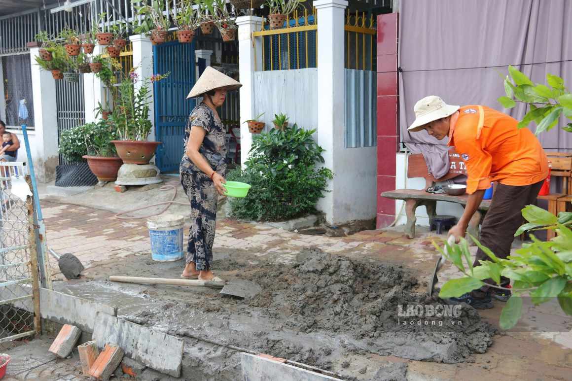
Ms. Nguyen Thi Hang (59 years old, area 1) shared that her family had to spend more than 50 million VND to buy piles to hold the riverbank, buy rubble to pour down and then cement to raise the road surface.
If we don't do it, it's considered the end of the road," Ms. Hang said.
Landslides have also approached people's houses. More than a week ago, the land in front of Ms. Luong Thi My Hanh's (49 years old) house suddenly slid down to the floor, breaking the water pipe.
He often collapses at night, so he can't sleep peacefully, every time he hears a sound, he startles, flustered, not knowing when he will collapse," Ms. Hanh recounted.
134 households waiting for embankment to prevent landslides
Mr. Nguyen Van Loi - Chairman of Thoi An Dong Ward People's Committee (Can Tho City) informed that through the latest review, the locality recorded 4 more landslide points on the Tra Noc river, with a total length of about 1,080m, directly affecting about 134 households.
The landslide points are located on important traffic routes serving daily life and production. Many road sections are seriously damaged, with some places almost completely cut off.
In the immediate future, the locality has placed warning signs and barriers in dangerous areas; mobilized people and socialized sources to build temporary bridges and iron bridges to maintain travel. Landslide points are also coordinated to survey and propose to be included in the list of emergency treatment with investment capital in 2026.
The locality also proposed that Can Tho City soon implement 2 landslide prevention embankment projects on the Tra Noc River that have been approved. The left bank line from the Hau River to along Le Hong Gam street is about 1,085m long, affecting about 130 households; the right bank line from the Hau River to the Cong bridge area is about 700m long, affecting about 100 households.
According to the Can Tho City Civil Defense Command, by mid-July 2026, the whole city recorded 232 landslide points with a total length of about 13.87km. Landslides directly affected 32 houses, of which 11 were completely damaged, and also damaged many rural traffic routes.
According to the List of priority projects to be implemented in the 2026-2030 period managed by the Ministry of Agriculture and Environment, 3 localities in the Mekong Delta region, Ca Mau, Vinh Long and Can Tho City, will be implemented the Project to build, consolidate, and upgrade the East Sea dyke and West Sea dyke system in the Mekong Delta region.
The project will consolidate and upgrade 73.4km of sea dikes, 14 culverts and 56.1km of wave reduction embankments, with a total cost of about 6,700 billion VND. The works contribute to protecting the coastline, protection forests, and livelihoods of people.
Can Tho City is also surveying and planning to build landslide prevention works. The city has basically completed the Can Tho river embankment, about 14km long; the embankment on both banks of the O Mon River, about 12km long.
Many landslide sections, high risk of landslides in the Cai San, Thot Not, Tra Noc, and Binh Thuy rivers are also invested in solid construction... contributing to preventing and limiting riverbank and canal landslides. According to the plan, from now to 2030, the city will invest more than 2,000 billion VND to build 24 riverbank and canal landslide prevention works, relocate riverside households to safe places...
According to Mr. Tran Chi Hung - Vice Chairman of Can Tho City People's Committee, to proactively prevent and combat landslides, the city directs units and localities to urgently deploy the construction of landslide prevention embankments that have been approved.
For new landslide points, in addition to the plan to invest in building solid works, the city will survey and have a remedial plan. In addition, functional sectors and localities strengthen guidance for people to prevent and combat landslides in traditional methods to protect riverbanks...


