From the beginning of 2025 to now, Can Tho City is facing a complicated situation of riverbank erosion. Dozens of landslides have been recorded, causing heavy damage to property and infrastructure, directly threatening the lives of hundreds of households.
According to data from the Standing Office of the City Civil Defense - Disaster Prevention and Control and Search and Rescue Command, there have been 41 landslides with a total length of nearly 1,200m recorded. These landslides not only affected 39 households but also caused estimated damage of up to 6.8 billion VND.
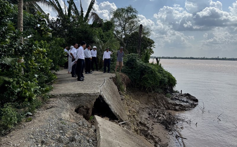
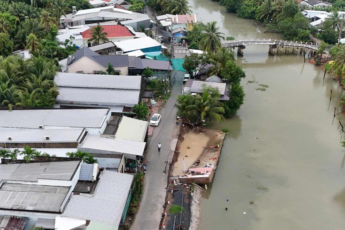
In the early morning of May 13, in Long Dinh area, Thoi Long ward, O Mon district (old) now Thoi Long ward, the incident completely subsided 46m of the traffic route on the left bank of the Bang Tang river. It is worth mentioning that this route has just been upgraded with a budget of more than 10 billion VND and will be completed by the end of 2024. Fortunately, there were no casualties.
Ms. Van Thi Be Bay (a grinder located next to the landslide site), the first person to discover the incident, shared that when the landslide occurred, the corrugated iron roof in front of the house showed signs of shaking, creating a large sound and the soil gradually collapsed almost the entire road surface.
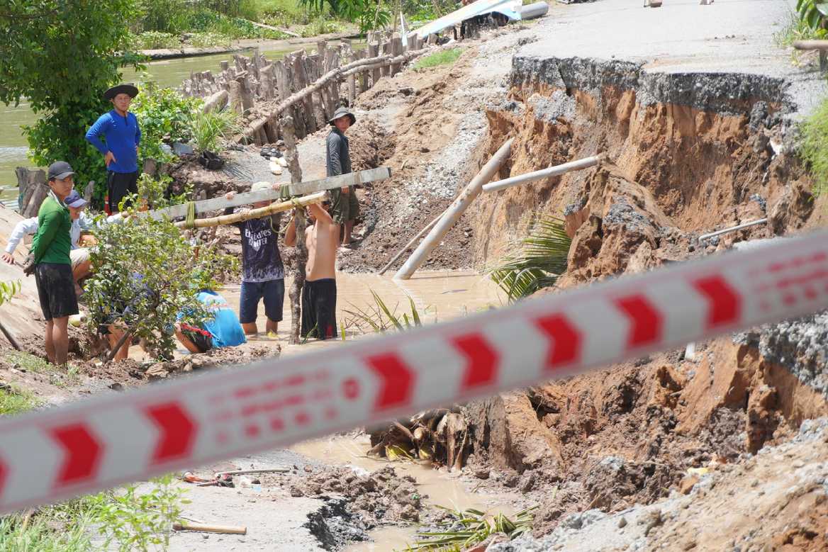
The most recent landslide on July 21 in Phu Huu commune once again rang the warning bell. The landslide was more than 30m long, eating 6m inland, losing nearly 180m2 of land and rural roads, causing damage of more than 100 million VND. Notably, Phu Huu commune is considered a "hot spot" for landslides in Can Tho with 23 points recorded since the beginning of the year, causing damage of nearly 2.5 billion VND.
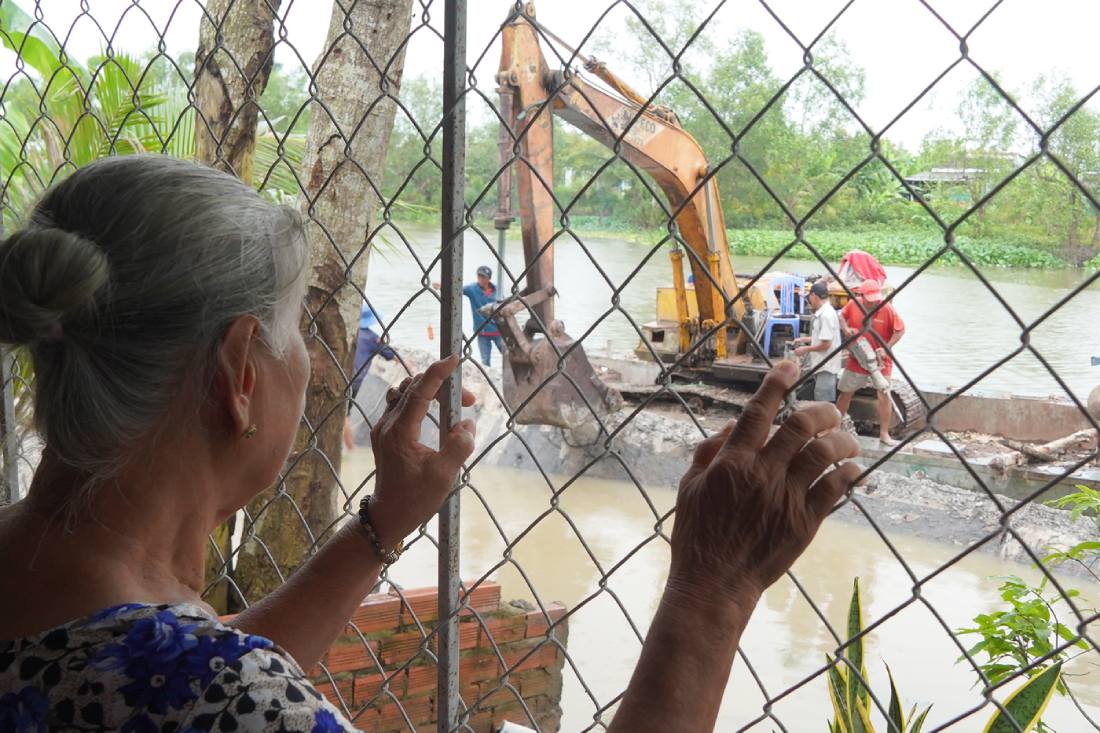
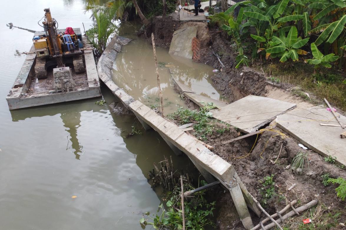
Faced with the urgent situation, the Can Tho City government has been synchronously implementing many solutions to respond. As soon as the landslide occurred, the authorities were present at the scene to stretch ropes, place warning signs and mobilize temporary recovery forces according to the "four on-site" motto.
In the face of increasingly complex natural disasters, Can Tho City is focusing on implementing many synchronous solutions to minimize damage, ensure safety for people and sustainable development.
One of the key projects is the emergency anti-erosion embankment project on the O Mon river bank (O Mon ward) with a total investment of 130 billion VND. The embankment is 650 meters long and is expected to be completed in the 2025-2026 period. The project aims to prevent serious landslides, protect residential areas and infrastructure along the river.
In addition, the City government has directed localities to strengthen the review and inspection of areas at high risk of landslides, especially communes along the Hau River, such as Chau Thanh, Dong Phuoc and Phu Huu... Through inspection, 27 new landslide risk points were discovered, directly affecting about 100 households.
In parallel with technical measures, the city also focuses on propaganda work, aiming to raise people's awareness in natural disaster prevention and protection of safety corridors for canals and ditches, limit encroachment that causes instability of flow and increases the risk of landslides.
As of the end of July 2025, Can Tho has recorded 39 heavy rains with thunderstorms, 2 high tides and flooding, and 13 saltwater intrusion. The total damage caused by natural disasters is estimated at more than 12.2 billion VND. To support people to overcome difficulties, the City Natural Disaster Prevention and Control Fund has approved support of 204 million VND. In addition, localities have proactively advanced 257.5 million VND to promptly support affected households.