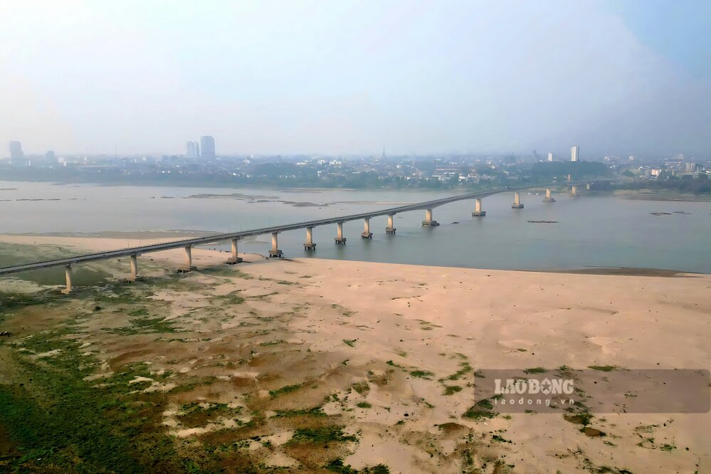
For many months, the water level of the Thao River (the main stream of the Red River) through Lao Cai, Phu Tho provinces, and the Red River through Phu Tho, Hanoi has been low.
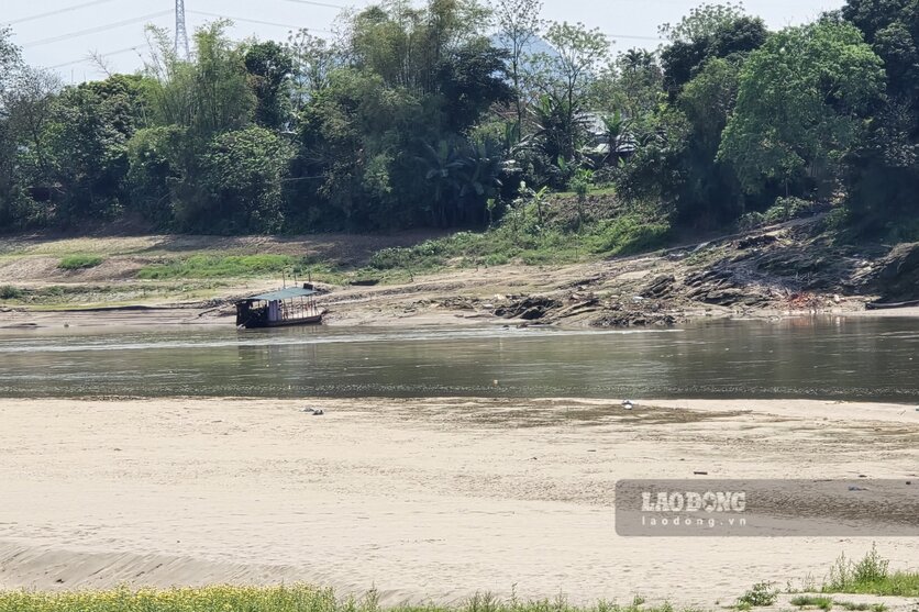
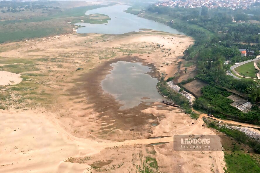
According to records of Lao Dong Newspaper reporters in the last days of March 2026, the river water is shallow, many sections of the river have narrow flows, at first glance as if walking through; alluvial grounds and sand dunes are rising everywhere.
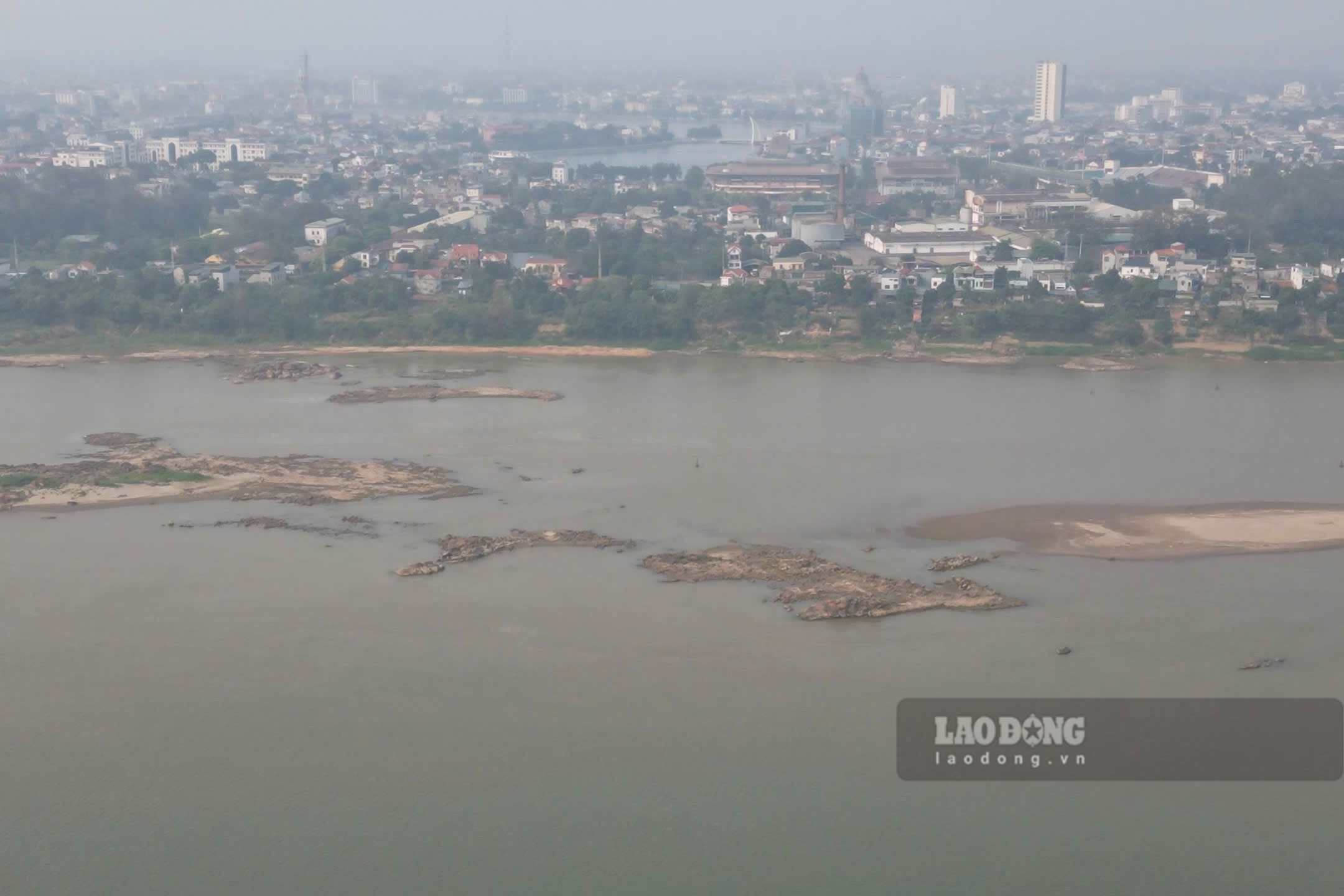
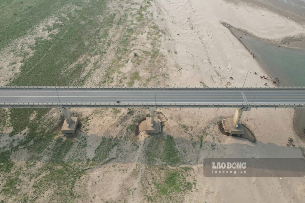
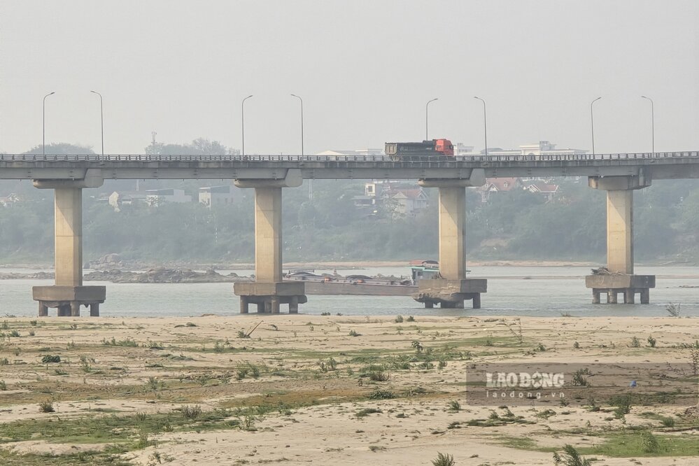
In the Van Lang bridge area connecting the old Viet Tri city (Phu Tho) with the old Ba Vi district (Hanoi), the river water level dropped low, revealing many underground stone strips in the middle of the river.
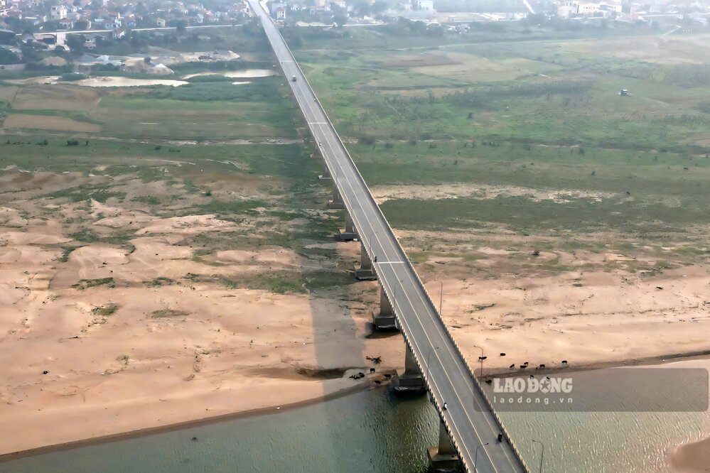
Recorded at the foot of Van Lang bridge in Co Do commune, Hanoi (Phu Cuong commune, former Ba Vi district), a large alluvial ground has been formed, with weeds growing lushly, people have taken advantage of planting short-term crops...
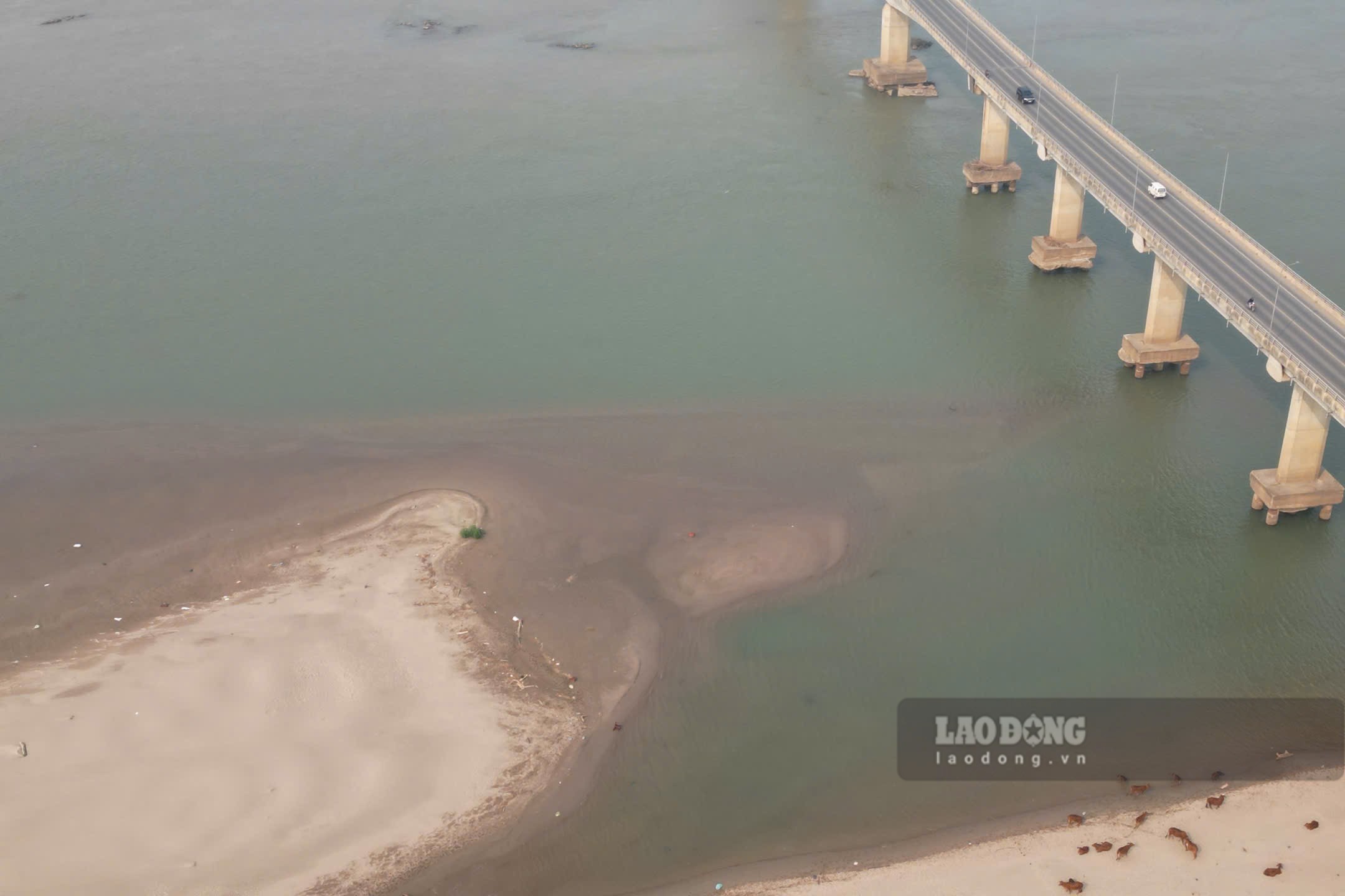
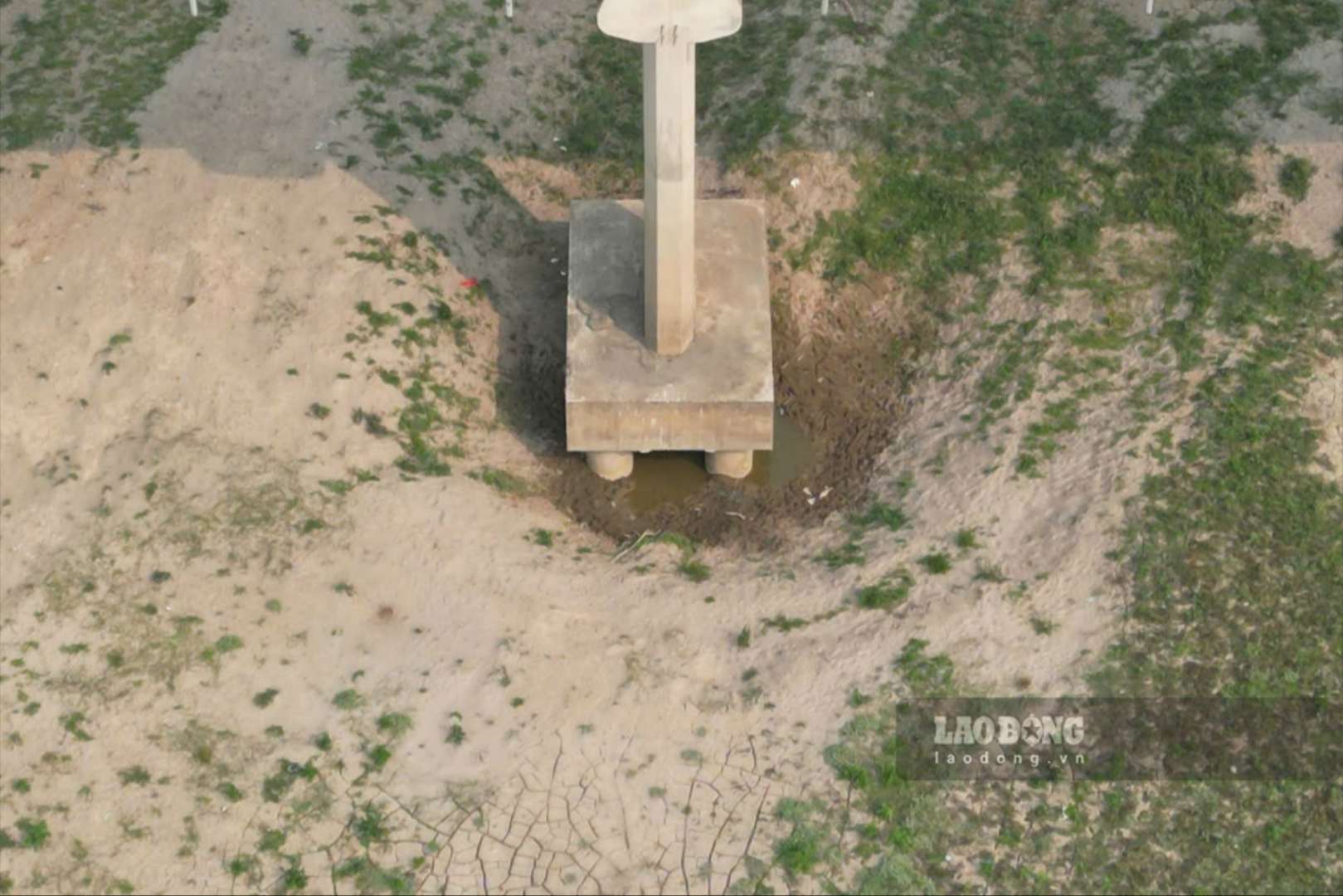
Especially, at the foot of many bridge pillars, river water has dried up for a long time, and the pile foundations can be clearly seen.
Some images recorded by reporters on the afternoon of March 30: