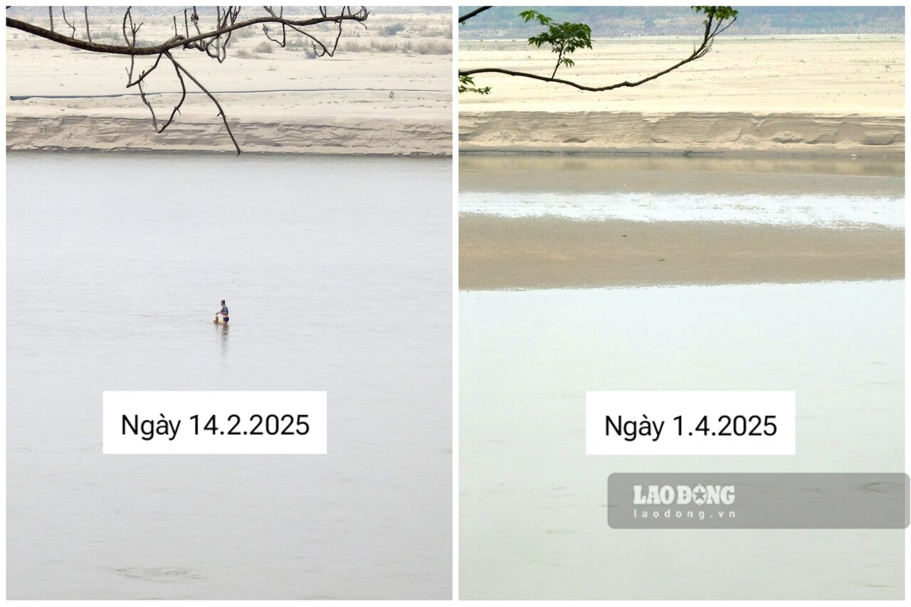
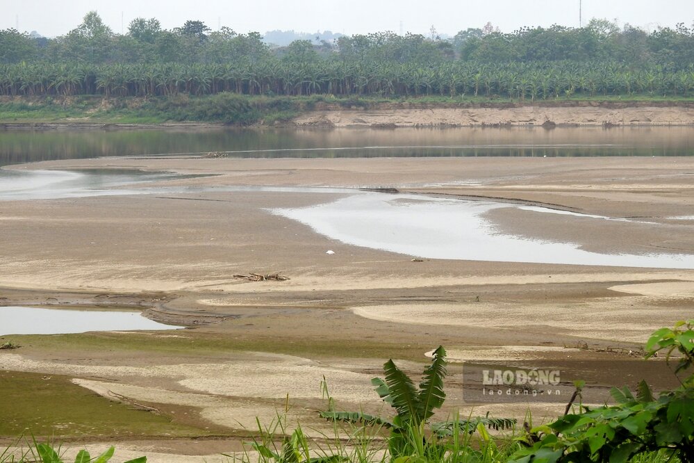
As reported, in recent months, the Red River water section passing through Phu Tho province has been dry at the bottom. The water level dropped, the Red River exposed many sand dunes, huge alluvial plains, the river flow was narrowed, people could stand in the middle of the river to fish...

According to the reporter of Lao Dong Newspaper on the first day of April, the water level of the Red River section passing through Lam Thao, Tam Nong, Cam Khe districts, Thanh Ba, Ha Hoa, Phu Tho town... is currently even drier than before.
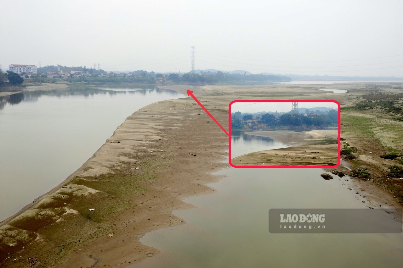
Compared with images recorded in mid-February, it can be seen that the Red River water has dried up, new alluvial plains and sand dunes have appeared, causing the flow to narrow.

In the area near Ngoc Thap bridge (Ha Thach commune, Phu Tho town), the river section was once recorded as depleted, at first glance it looked like it could be walked, now there are more sand dunes emerging in the middle of the river, covering almost the entire remaining narrow flow surface.
Mr. Vu Dinh Thinh - a resident of Ngoc Thap bridge resettlement area, Ha Thach commune - shared: "I often go to the banks of the Red River to buy fish, this year the water is low, so my fishing boat caught a lot of big fish. I have never seen the river water drain so much".

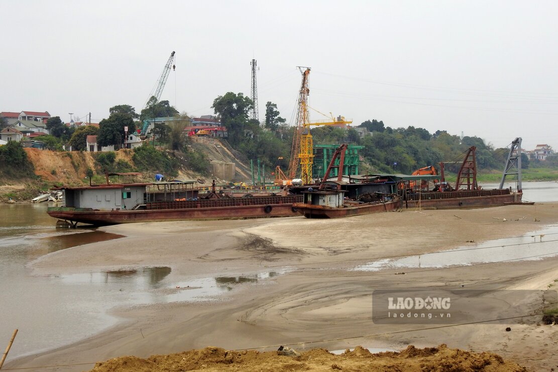
In the Phong Chau pontoon bridge area, the water level of the Red River is also drier than usual.
According to the Hydro-Meteorological Forecast and Warning bulletin on April 1 of the National Center for Hydro-Meteorological Forecasting, in the past 10 days, the water level on the Thao River (Red River) in Yen Bai, Phu Tho has changed slowly. The actual water level measured at Phu Tho station in the past period was on average 10.90 m, the highest was 11.36 m, the lowest was 10.49 m.

It is forecasted that in the next 10 days, the water level of the Red River will continue to change slowly. The actual water level measured at Phu Tho station in the coming period is forecast to be an average of 10.60 m, the highest is 11 m, the lowest is 10.10 m.


