In the first months of the year, the water level of the Thao River (the main stream of the Red River) section passing through Lao Cai and Phu Tho provinces dried up to the bottom. In April 2026, the lowest water level in the history of observation was recorded.
On April 16, the water level of the Thao River at Phu Tho station was measured at only 10.14m; on April 27, the water level at Yen Bai station (now Lao Cai province) dropped to 22.81m. These are the 2 lowest levels in history.
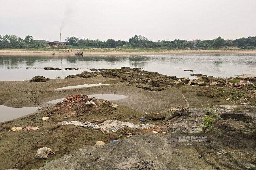
At that time, the shallow and increasingly silted river water caused difficulties for the operation of riverside pumping stations. Irrigation enterprises had to continuously dredge the pumping gates, lower the drainage beds, and create flows to bring water to the field pumping station.
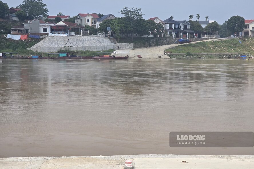
According to Lao Dong Newspaper reporters' records on the first day of June, the drying situation on the Thao River has improved, as the river has experienced small floods in May.
It can be seen that the immense alluvial grounds and sand dunes on the river have begun to shrink, giving way to floodwaters from upstream.
According to the Short-term Hydrometeorological Forecast and Warning Bulletin of the National Center for Hydro-Meteorological Forecasting, at 7:00 AM on May 31, the water level of the Thao River at Phu Tho station was at 11.91m, and at the same time at Yen Bai station was at 24.86m.
Mr. Vu Dang Dao - a resident of Ngoc Thap area, Phong Chau ward - shared: "The water level of the Red River has risen, which is a good thing, riverside pumping stations can easily pump water for irrigation to serve people's agricultural production.
According to the Forecast Bulletin, long-term hydrological warning (from June 1 to June 30), in May, there were 3 small fluctuations on the Thao River with an amplitude of water rising from 1 - 1.9m.
The water level of Thao River at Yen Bai station in May is on average 23.90m, highest 25.36m, lowest 22.82m. At Phu Tho station, the average is 11.46m, the highest is 12.57m, the lowest is 10.31m.
It is forecasted that in June, there is a possibility of 1-2 small floods on the Thao River. The average water level at Yen Bai station is forecast to be 25.00m, the highest is 26.50m, the lowest is 23.40m. For Phu Tho station, the average is forecast to be 12.03m, the highest is 13.50m, and the lowest is 11.20m.


