The information was given by Mr. Nguyen Do Anh Tu - Deputy Head of Road Traffic Construction Management Department (Ho Chi Minh City Department of Construction), on April 23.
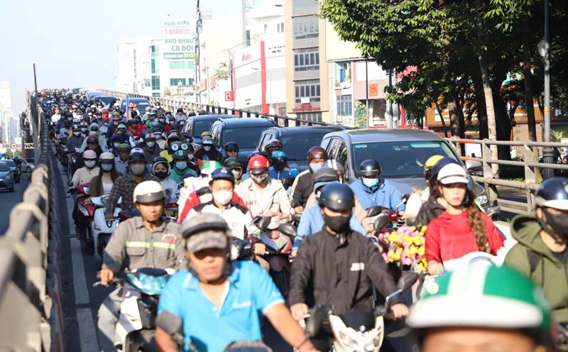
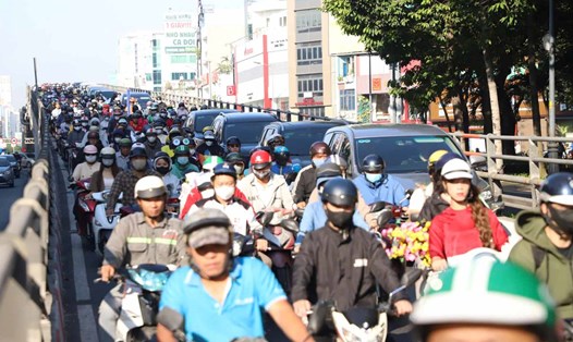
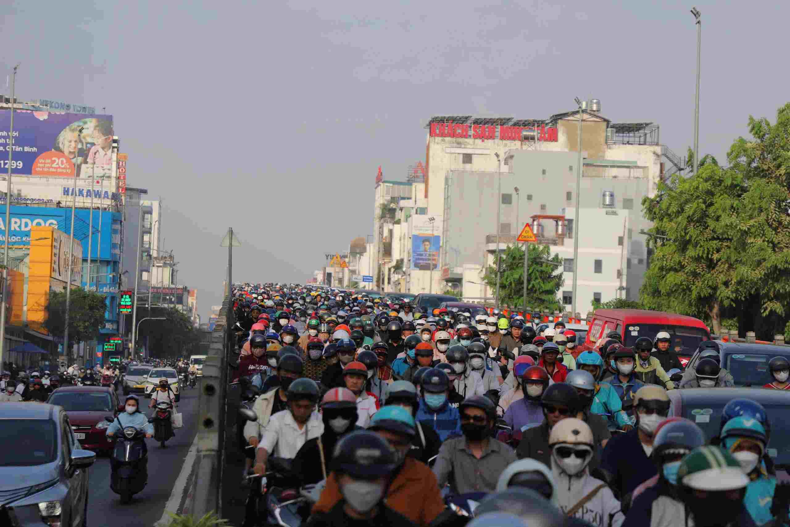
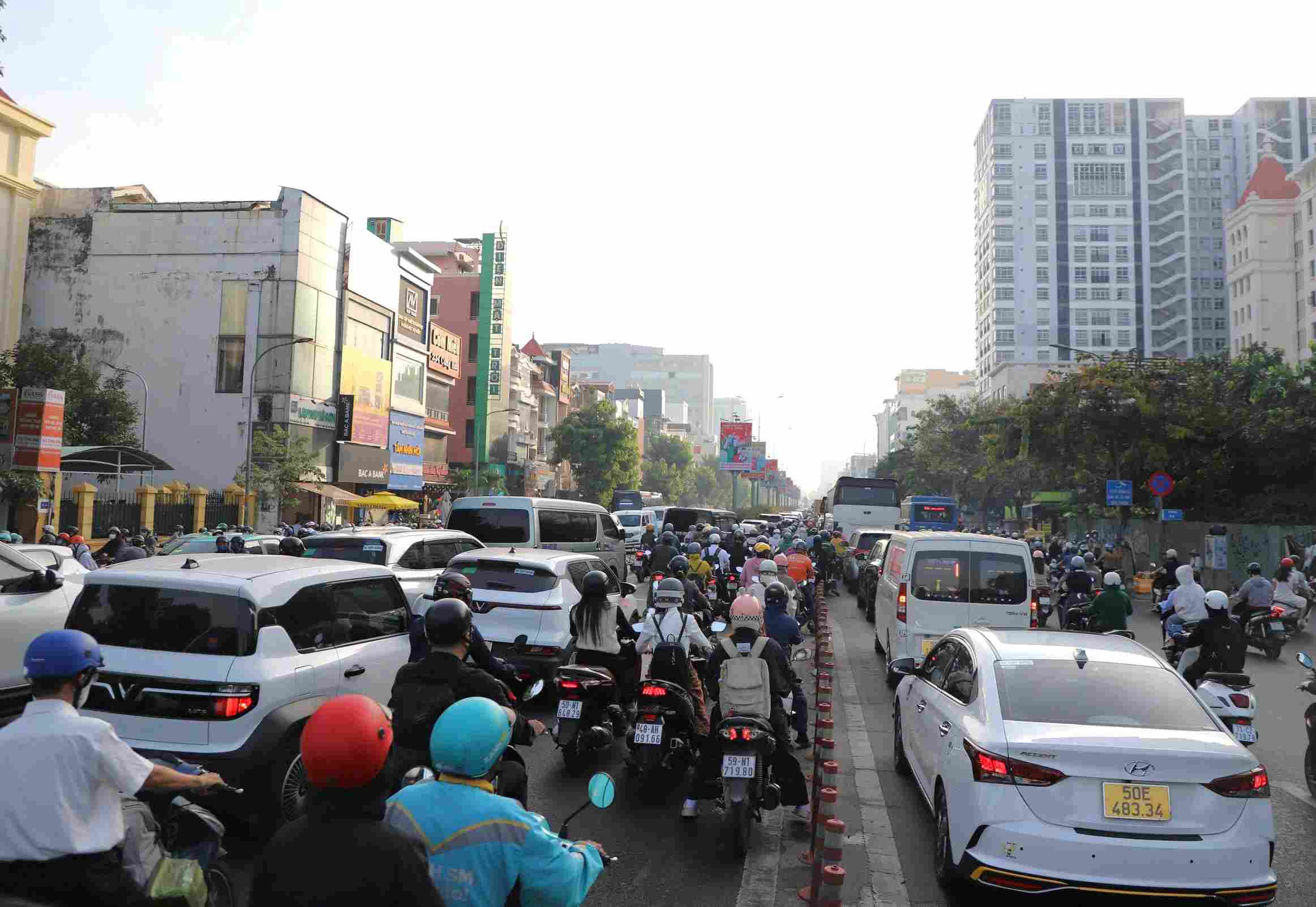
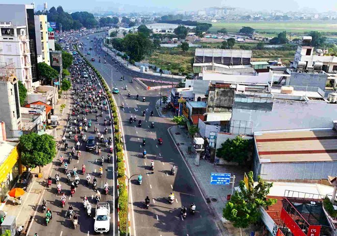
Cong Hoa Street - the vital traffic axis connecting the Northwest region with the city center and Tan Son Nhat airport is currently frequently overloaded, especially during peak hours.
Data from the transport sector shows that the traffic volume on the route has exceeded about 142% compared to the designed capacity. Just a small incident can cause prolonged congestion.
Notably, the Cong Hoa - Hoang Hoa Tham intersection, although there is an overpass supporting it, is still a "hot spot" of congestion due to high vehicle density.
In the past time, the Ho Chi Minh City Department of Construction has implemented a number of measures to increase vehicle exit capacity, such as closing some intersections and reorganizing turnarounds. Specifically, the Cong Hoa - Tan Ky Tan Quy and Cong Hoa - Ap Bac intersections have been adjusted to reduce traffic conflicts.
Representatives of the Department of Construction said that they will implement a flexible lane separation plan according to the time of day on Cong Hoa street (3-way model), expected to be completed before May 15, 2026.
Accordingly, the median strip on Cong Hoa street - the section from Truong Chinh to Lang Cha Ca steel overpass will be renovated and trimmed to create more lanes.
This lane allows two-way traffic, but is organized according to certain time frames. In the morning, vehicles move in the direction from An Suong to the center of Ho Chi Minh City; in the afternoon, vehicles travel from the center of Ho Chi Minh City to An Suong intersection.
According to a representative of the Department of Construction, in parallel, Ho Chi Minh City will adjust the traffic light system at the Cong Hoa - 18E and Cong Hoa - Ut Tich intersections, applying a "green wave" control model.
The system operates based on real-time vehicle density data, helping to synchronize signals between intersections, create a continuous green light chain, and support vehicles to move faster during peak hours.
Along with technical solutions, traffic police forces will be strengthened at key intersections on the Cong Hoa route to coordinate regulation and minimize local congestion.
In the long term, Ho Chi Minh City plans to invest in an elevated road along the Truong Chinh - Cong Hoa axis with a length of about 11.2 km, a scale of 4 lanes, extending from An Suong intersection to Tan Son Nhat airport area.
The project is expected to be synchronized with the expansion of National Highway 22 to 60 m, creating an important connecting axis from the Northwest area to the city center.
Notably, the design plan is expected to take advantage of the median strip between Truong Chinh and Cong Hoa streets for construction, thereby reducing site clearance costs, limiting relocation and reducing impact on people's lives in the area.