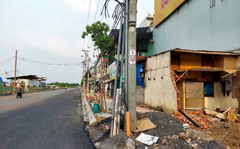
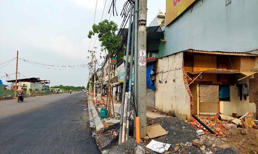
Coastal road
The southern coastal traffic axis connecting Tien Giang through Can Gio district (HCMC) to Dong Nai and Ba Ria - Vung Tau, included in the HCMC Planning for the period 2021 - 2030, with a vision to 2050, has just been approved by the Prime Minister.
The route starts from National Highway 50 (Tien Giang) to the coastal road across Soai Rap River into Can Gio district, connecting Can Gio international transit port, Phuoc An port and extending to Ben Luc - Long Thanh expressway (Dong Nai).
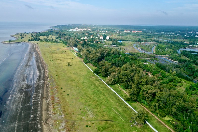
The total length of the route is about 57.4 km, of which 38.2 km passes through Ho Chi Minh City. The route is expected to be invested after 2030, with a scale of 4 - 8 lanes. In particular, the section through Can Gio will combine above-ground, underground and viaduct routes to protect the Can Gio Biosphere Reserve.
The route's goal is to effectively exploit seaports in Can Gio and Cai Mep - Thi Vai, while forming a coastal economic corridor between Ba Ria - Vung Tau, Dong Nai, Ho Chi Minh City and Tien Giang.
Metro from inner city to Can Gio
According to the Ho Chi Minh City Planning for the period 2021 - 2030, with a vision to 2050, the city will deploy a nearly 49 km long Metro line connecting District 7 with the Can Gio coastal urban area.
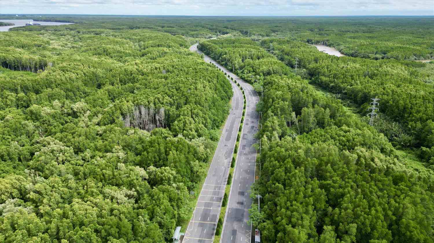
The route starts from Nguyen Van Linh Avenue (District 7), passes Nguyen Luong Bang Street, crosses the river to Rung Sac Street, then enters Can Gio coastal urban area.
This route is expected to connect with Metro Line 4 (Depot Nhi Binh, Hoc Mon - Hiep Phuoc Urban Area, Nha Be).
This project is expected to be implemented in the period 2031 - 2050, with the first phase considering using rapid buses before investing in trains.
Can Gio Bridge
Can Gio Bridge has a total length of about 7.3 km, connecting Can Gio district with Nha Be district across Soai Rap river.
The project has a total estimated investment of more than 10,500 billion VND, in the form of BOT (build - operate - transfer).
The project starts from Road 15B (parallel to Huynh Tan Phat, Nha Be district), crosses the river and connects to Rung Sac road in Can Gio district.
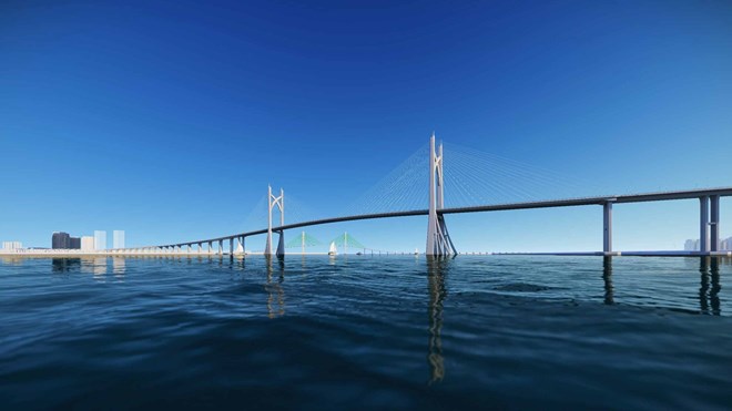
Can Gio Bridge will replace the current Binh Khanh ferry, opening up convenient traffic connections between Can Gio district and the city center, while promoting the development of the Can Gio coastal urban area and Can Gio international transit port.
According to the Ho Chi Minh City Department of Transport, after the project to adjust the general planning of Ho Chi Minh City to 2040, with a vision to 2060, is approved, the Can Gio bridge project will be submitted to the competent authority for approval. The goal is to start the project in 2025 and complete it in 2028.
Rung Sac Road Intersection
According to the Ho Chi Minh City Department of Transport, Rung Sac Road is the only route connecting the center of Ho Chi Minh City, Dong Nai province and neighboring areas to Can Gio (currently, traffic connection to Can Gio district is mainly by waterway).
After the completion of Ho Chi Minh City Ring Road 3 and the Ben Luc - Long Thanh Expressway come into operation, this traffic axis will play a strategic role in the key economic region of the South.
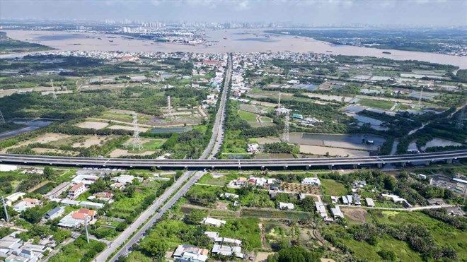
To promote the socio-economic development of Can Gio district, especially when the coastal urban area and Can Gio international transit port are formed, connecting Can Gio with Ho Chi Minh City and Dong Nai via highway is necessary.
The Ho Chi Minh City Department of Transport has approved the investment task for the intersection of Rung Sac Road with Ben Luc - Long Thanh Expressway. The project has a total investment of about 2,400 billion VND and is expected to be invested before 2030.

