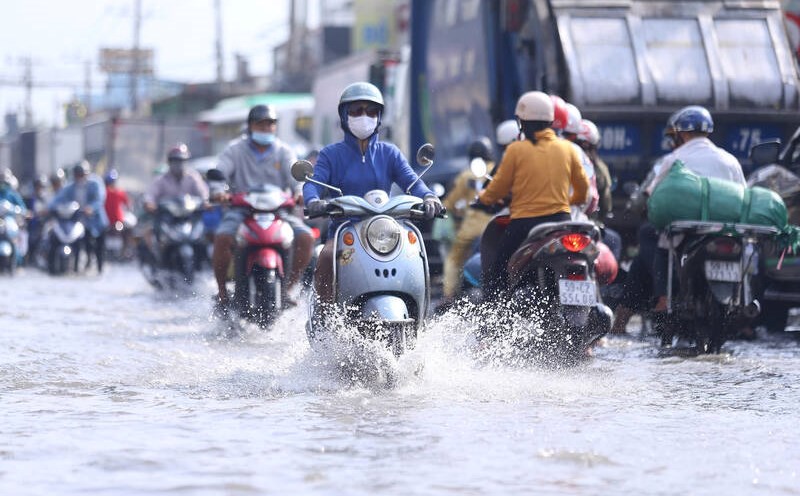
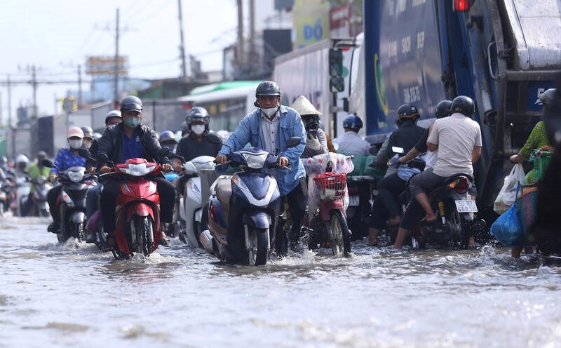
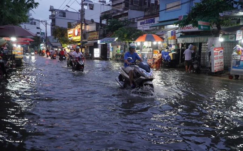
According to the Hydrometeorological Station of Hau Giang province, in recent days, due to the influence of high tides in the East Sea, the water level on the Hau River section from Hau Giang to Can Tho has risen rapidly to a high level.
In the area affected by the East Sea tide, due to the high tide of the 15th day of the 10th lunar month combined with the high water level on the Hau River, from November 17, the high tide in the province will reach its peak.

At Phung Hiep Hydrological Station on Cai Con River, the highest water level is from 1.68 - 1.75 m, above alert level 3, 0.05 - 0.15 m higher than the same period last year.
For the area affected by the West Sea tide on Xa No River and inland water levels, the water level rises slowly, at a high level from November 17 to 18, then changes little in the next 3 days.
Hau Giang Province's Hydrometeorological Station also warned that due to high water levels in rivers, canals, ditches and fields in Hau Giang Province, there is a risk of local flooding in low-lying areas, areas with poor drainage, and areas outside the dike in localities in the province, lasting from 2 to 6 days, affecting daily life, production and traffic.
The functional sector of Hau Giang province recommends that localities should proactively and closely monitor developments and forecast information on rain and floods to promptly respond to unusual developments; urgently organize repairs and reinforcement of dike sections, embankments, and works at risk of incidents or showing signs of being unsafe.
For ferries, boats, and sampans operating on the river, slow down to limit surface waves, reduce the risk of bank erosion, and stay away from eddy currents...


